2494 Old Dump Rd Homedale, ID 83628
Estimated Value: $549,597 - $728,000
4
Beds
1
Bath
1,924
Sq Ft
$322/Sq Ft
Est. Value
About This Home
This home is located at 2494 Old Dump Rd, Homedale, ID 83628 and is currently estimated at $619,866, approximately $322 per square foot. 2494 Old Dump Rd is a home with nearby schools including Homedale Elementary School, Homedale Middle School, and Homedale High School.
Ownership History
Date
Name
Owned For
Owner Type
Purchase Details
Closed on
Feb 16, 2012
Sold by
Cook Crawford and Cook Brenda
Bought by
Cook Crawford L
Current Estimated Value
Home Financials for this Owner
Home Financials are based on the most recent Mortgage that was taken out on this home.
Original Mortgage
$78,233
Interest Rate
3.84%
Mortgage Type
New Conventional
Create a Home Valuation Report for This Property
The Home Valuation Report is an in-depth analysis detailing your home's value as well as a comparison with similar homes in the area
Home Values in the Area
Average Home Value in this Area
Purchase History
| Date | Buyer | Sale Price | Title Company |
|---|---|---|---|
| Cook Crawford L | -- | Pioneer Title Co |
Source: Public Records
Mortgage History
| Date | Status | Borrower | Loan Amount |
|---|---|---|---|
| Closed | Cook Crawford L | $78,233 |
Source: Public Records
Tax History Compared to Growth
Tax History
| Year | Tax Paid | Tax Assessment Tax Assessment Total Assessment is a certain percentage of the fair market value that is determined by local assessors to be the total taxable value of land and additions on the property. | Land | Improvement |
|---|---|---|---|---|
| 2024 | -- | $330,240 | $126,000 | $204,240 |
| 2023 | $1,275 | $330,240 | $126,000 | $204,240 |
| 2022 | $1,224 | $263,000 | $126,000 | $137,000 |
| 2021 | $1,223 | $206,267 | $109,577 | $96,690 |
| 2020 | $967 | $151,414 | $76,808 | $74,606 |
| 2019 | $1,121 | $146,432 | $76,808 | $69,624 |
| 2018 | $1,066 | $133,043 | $64,007 | $69,036 |
| 2017 | $1,035 | $133,043 | $64,007 | $69,036 |
| 2016 | $986 | $131,932 | $54,592 | $77,340 |
| 2014 | $821 | $98,937 | $39,512 | $59,425 |
| 2011 | -- | $109,592 | $30,435 | $79,157 |
Source: Public Records
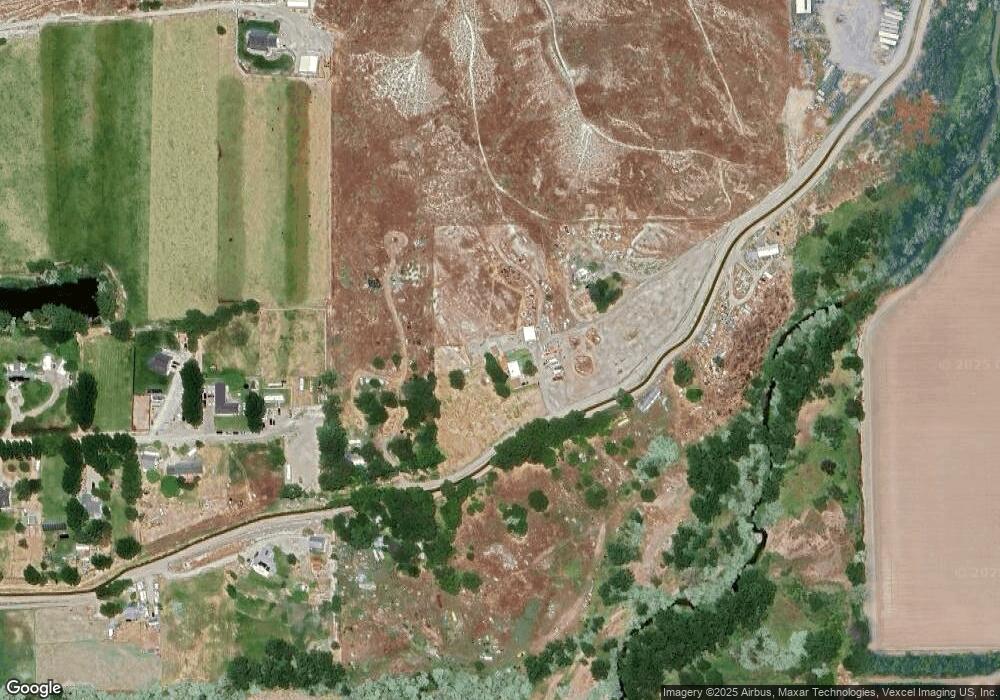
Map
Nearby Homes
- TBD
- 318 Packer Ln
- TBD Pioneer Rd
- 531 W Idaho Ave
- 2462 Succor Creek Rd
- TBD L1 W Idaho Ave
- TBD W Idaho Ave
- 428 W Montana Ave
- 328 W Owyhee Ave
- 501 W California Ave
- 315 W Montana Ave
- 412 W Oregon Ave
- TBD Succor Creek Rd
- 101 W Utah Ave
- 330 Packer Ln
- 408 S Main St
- TBD State Highway 19
- 207 N Main St
- 4243 Homestead Rd
- 120 N Main St
- 2568 Old Dump Rd
- 2443 Patch Ditch Rd
- 2377 Lower Pond Ln
- 2378 Lower Pond Ln
- 3240 Purdom Ln
- 2620 Old Dump Rd
- 2355 Lower Pond Ln
- 2626 Old Dump Rd
- 2336 Lower Pond Ln
- 2333 Lower Pond Ln
- 2316 Lower Pond Ln
- 3278 Purdom Ln
- 2311 Lower Pond Ln
- TBD Egurrola
- 2653 State Highway 19
- 0 Tbd Egurrola Ln
- 3349 Purdom Ln
- 3375 Purdom Ln
- 3176 Purdom Ln
- 2813 State Highway 19