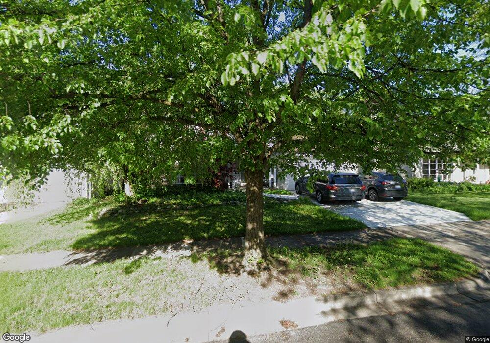
2495 Antietam Dr Ann Arbor, MI 48105
Orchard Hills-Maplewood NeighborhoodEstimated Value: $567,055 - $596,000
4
Beds
3
Baths
1,944
Sq Ft
$300/Sq Ft
Est. Value
About This Home
This home is located at 2495 Antietam Dr, Ann Arbor, MI 48105 and is currently estimated at $582,264, approximately $299 per square foot. 2495 Antietam Dr is a home located in Washtenaw County with nearby schools including Thurston Elementary School, Clague Middle School, and Huron High School.
Ownership History
Date
Name
Owned For
Owner Type
Purchase Details
Closed on
Jun 19, 2013
Sold by
Sweet Robert E and Sweet Burganda V
Bought by
Sweet Robert E and Sweet Burgunda V
Current Estimated Value
Create a Home Valuation Report for This Property
The Home Valuation Report is an in-depth analysis detailing your home's value as well as a comparison with similar homes in the area
Home Values in the Area
Average Home Value in this Area
Purchase History
| Date | Buyer | Sale Price | Title Company |
|---|---|---|---|
| Sweet Robert E | -- | None Available |
Source: Public Records
Tax History Compared to Growth
Tax History
| Year | Tax Paid | Tax Assessment Tax Assessment Total Assessment is a certain percentage of the fair market value that is determined by local assessors to be the total taxable value of land and additions on the property. | Land | Improvement |
|---|---|---|---|---|
| 2025 | $8,165 | $267,200 | $0 | $0 |
| 2024 | $8,165 | $253,000 | $0 | $0 |
| 2023 | $7,011 | $225,800 | $0 | $0 |
| 2022 | $7,640 | $211,400 | $0 | $0 |
| 2021 | $7,460 | $205,300 | $0 | $0 |
| 2020 | $7,309 | $194,400 | $0 | $0 |
| 2019 | $6,956 | $179,000 | $179,000 | $0 |
| 2018 | $6,858 | $165,700 | $0 | $0 |
| 2017 | $6,672 | $167,000 | $0 | $0 |
| 2016 | $5,683 | $133,410 | $0 | $0 |
| 2015 | $6,130 | $133,011 | $0 | $0 |
| 2014 | $6,130 | $128,856 | $0 | $0 |
| 2013 | -- | $128,856 | $0 | $0 |
Source: Public Records
Map
Nearby Homes
- 2656 Shefman Terrace
- 4763 Curtis
- 4990 Saddleridge
- 2605 Nadia Ct Unit 8
- 0000 Nixon Rd
- 1 Westbury Ct
- 2782 Maitland Dr
- 2182 Yorktown Dr
- 2 Haverhill Ct
- 2626 Traver Blvd
- 2901 Corston Rd
- 3024 Bolgos Cir Unit 303
- 3367 Burbank Dr
- 2824 Ridington Rd
- 2856 Barclay Way Unit 38
- 2805 Rathmore Ln
- 3252 Bolgos Cir
- 3039 Barclay Way Unit 256
- 3057 Barclay Way Unit 265
- 3250 Brackley Dr
- 0 Antietam Dr
- 2511 Antietam Dr
- 2477 Antietam Dr
- 2500 Antietam Dr
- 2488 Antietam Dr
- 2465 Antietam Dr
- 2527 Antietam Dr
- 2472 Antietam Dr
- 2524 Antietam Dr
- 2453 Antietam Dr
- 2456 Antietam Dr
- 2543 Antietam Dr
- 2488 Bunker Hill Rd
- 2476 Bunker Hill Rd
- 2540 Antietam Dr
- 2500 Bunker Hill Rd
- 2464 Bunker Hill Rd
- 2514 Bunker Hill Rd
- 2435 Antietam Dr
- 2440 Antietam Dr