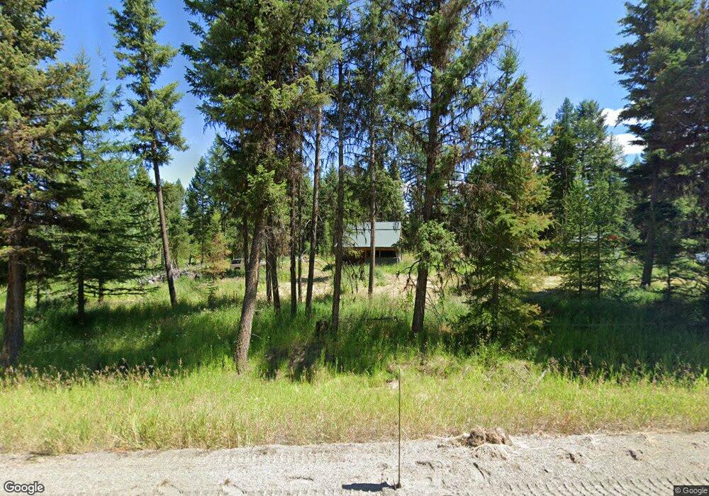
2495 Highway 20 Wauconda, WA 98859
Estimated Value: $245,000 - $301,000
2
Beds
2
Baths
1,040
Sq Ft
$262/Sq Ft
Est. Value
About This Home
This home is located at 2495 Highway 20, Wauconda, WA 98859 and is currently estimated at $272,935, approximately $262 per square foot. 2495 Highway 20 is a home located in Okanogan County with nearby schools including Republic Elementary School, Republic Junior High School, and Republic Senior High School.
Ownership History
Date
Name
Owned For
Owner Type
Purchase Details
Closed on
Sep 23, 2024
Sold by
Lowry Michael R and Lowry Sarah L
Bought by
Mulbreght Anthony J and Mulbreght Rose M
Current Estimated Value
Purchase Details
Closed on
Mar 18, 2019
Sold by
Glass Randy Alexander and Glass Annalisa
Bought by
Lowry Michael R and Lowry Sarah L
Home Financials for this Owner
Home Financials are based on the most recent Mortgage that was taken out on this home.
Original Mortgage
$151,050
Interest Rate
4.4%
Mortgage Type
New Conventional
Purchase Details
Closed on
Nov 3, 2017
Sold by
Fiorini Russ and Fiorini Vicki
Bought by
Glass Randy Alexander
Home Financials for this Owner
Home Financials are based on the most recent Mortgage that was taken out on this home.
Original Mortgage
$130,150
Interest Rate
3.83%
Mortgage Type
New Conventional
Purchase Details
Closed on
May 17, 2007
Sold by
Florek Roy E
Bought by
Fiorini Russell and Fiorini Victoria
Create a Home Valuation Report for This Property
The Home Valuation Report is an in-depth analysis detailing your home's value as well as a comparison with similar homes in the area
Home Values in the Area
Average Home Value in this Area
Purchase History
| Date | Buyer | Sale Price | Title Company |
|---|---|---|---|
| Mulbreght Anthony J | $245,000 | Baines Title | |
| Lowry Michael R | $159,000 | None Available | |
| Glass Randy Alexander | $137,000 | Baines Title Co | |
| Glass Randy Alexander | -- | Baines Title Co | |
| Fiorini Russell | $89,000 | Baines Title Co |
Source: Public Records
Mortgage History
| Date | Status | Borrower | Loan Amount |
|---|---|---|---|
| Previous Owner | Lowry Michael R | $151,050 | |
| Previous Owner | Glass Randy Alexander | $130,150 |
Source: Public Records
Tax History Compared to Growth
Tax History
| Year | Tax Paid | Tax Assessment Tax Assessment Total Assessment is a certain percentage of the fair market value that is determined by local assessors to be the total taxable value of land and additions on the property. | Land | Improvement |
|---|---|---|---|---|
| 2025 | $1,593 | $244,100 | $30,100 | $214,000 |
| 2024 | $1,593 | $225,800 | $30,100 | $195,700 |
| 2023 | $1,478 | $189,100 | $30,100 | $159,000 |
| 2022 | $1,415 | $152,400 | $30,100 | $122,300 |
| 2021 | $1,466 | $152,400 | $30,100 | $122,300 |
| 2020 | $1,341 | $152,400 | $30,100 | $122,300 |
| 2019 | $1,282 | $140,600 | $30,100 | $110,500 |
| 2018 | $1,368 | $140,600 | $30,100 | $110,500 |
| 2017 | $1,204 | $140,600 | $30,100 | $110,500 |
| 2016 | $1,224 | $140,600 | $30,100 | $110,500 |
| 2015 | $1,241 | $140,600 | $30,100 | $110,500 |
| 2013 | -- | $103,100 | $30,100 | $73,000 |
Source: Public Records
Map
Nearby Homes
- 0 Cape Labelle Rd
- 259 B S Mt Anne Rd
- 3 Summer Rd
- 302 Summer Rd
- 109 Ruff Rd
- 190 Bunch Rd
- 0 Cougar Creek Rd
- 30 Cougar Loop Dr
- 18 Risingson Dr
- 100 Turner Lake Rd
- 0 XX E Fork Cougar Creek Rd
- 152 High Country Dr E
- 920 Toroda Creek Rd
- 147 W High Country
- 25 Harvest Moon Ln
- 0 TBD Give Out Creek Rd
- Tbd Giveout Creek Rd
- 363 Sheridan Rd
- 0 Neil Circle Rd N Unit NWM2232923
- 0 Tbd High Country Dr W
- 2495 Highway 20
- 2495 Highway 20
- 2495 Highway 20
- 2515 Highway 20
- 2503 Highway 20
- 2476 Hwy 20
- 2476 Highway 20
- 2565 Highway 20
- 2550 Highway 20
- 2573 Highway 20
- 136 Toroda Creek Rd
- 26 Cape Labelle Rd
- 2580 Highway 20
- 191 Cape Labelle Rd
- 0 N Lot Grafton Ranch Rd
- 34 Cape Labelle Rd N
- 34 Cape Labelle Rd
- 63 Grafton Ranch Rd