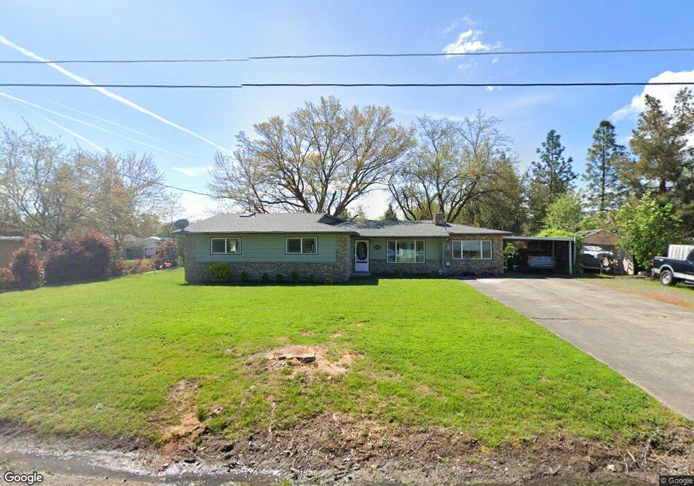
2495 Robin Ln Central Point, OR 97502
Estimated Value: $428,945 - $543,000
4
Beds
2
Baths
2,185
Sq Ft
$221/Sq Ft
Est. Value
About This Home
This home is located at 2495 Robin Ln, Central Point, OR 97502 and is currently estimated at $483,315, approximately $221 per square foot. 2495 Robin Ln is a home located in Jackson County with nearby schools including Richardson Elementary School, Scenic Middle School, and Crater High School.
Ownership History
Date
Name
Owned For
Owner Type
Purchase Details
Closed on
Apr 16, 2004
Sold by
Claus Loma M and Loynes Loma M
Bought by
Claus Kenneth and Claus Loma M
Current Estimated Value
Purchase Details
Closed on
Jun 12, 1998
Sold by
Walser Walser Roberta A Roberta A and Walser Reed Wynona Charleen
Bought by
Claus Kenneth F and Claus Loma M
Home Financials for this Owner
Home Financials are based on the most recent Mortgage that was taken out on this home.
Original Mortgage
$117,900
Outstanding Balance
$21,855
Interest Rate
7.17%
Estimated Equity
$461,460
Create a Home Valuation Report for This Property
The Home Valuation Report is an in-depth analysis detailing your home's value as well as a comparison with similar homes in the area
Purchase History
| Date | Buyer | Sale Price | Title Company |
|---|---|---|---|
| Claus Kenneth | -- | -- | |
| Claus Kenneth F | $131,000 | Crater Title Insurance |
Source: Public Records
Mortgage History
| Date | Status | Borrower | Loan Amount |
|---|---|---|---|
| Open | Claus Kenneth F | $117,900 |
Source: Public Records
Tax History
| Year | Tax Paid | Tax Assessment Tax Assessment Total Assessment is a certain percentage of the fair market value that is determined by local assessors to be the total taxable value of land and additions on the property. | Land | Improvement |
|---|---|---|---|---|
| 2026 | $3,032 | $275,480 | -- | -- |
| 2025 | $2,963 | $267,460 | $145,910 | $121,550 |
| 2024 | $2,963 | $259,670 | $102,750 | $156,920 |
| 2023 | $2,882 | $252,110 | $99,760 | $152,350 |
| 2022 | $2,812 | $252,110 | $99,760 | $152,350 |
| 2021 | $2,724 | $244,770 | $96,850 | $147,920 |
| 2020 | $2,933 | $237,650 | $94,030 | $143,620 |
| 2019 | $2,865 | $224,010 | $88,620 | $135,390 |
| 2018 | $2,776 | $217,490 | $86,030 | $131,460 |
| 2017 | $2,710 | $217,490 | $86,030 | $131,460 |
| 2016 | $2,602 | $205,010 | $81,100 | $123,910 |
| 2015 | $2,509 | $205,010 | $81,100 | $123,910 |
| 2014 | $2,415 | $193,250 | $76,450 | $116,800 |
Source: Public Records
Map
Nearby Homes
- 420 Mayberry Ln
- 884 Mendolia Way
- 3288 Grant Rd
- 3371 Freeland Rd
- 3307 Freeland Rd
- 3220 Freeland Rd
- 407 Silver Creek Dr
- 166 Nadine Ln
- 349 W Pine St
- 1134 Steamboat Dr
- 4269 Grant Rd
- 871 Holley Way
- 895 Holley Way
- 626 Griffin Oaks Dr
- 556 Glenn Way
- 436 Cheney Loop
- 0 Boulder Ridge St
- 1317 River Run St
- 1167 Boulder Ridge St
- 545 Bridge Creek Dr
- 2471 Robin Ln
- 2515 Robin Ln
- 2537 Robin Ln
- 2494 Robin Ln
- 2512 Robin Ln
- 2469 Robin Ln
- 3654 New Ray Rd
- 2482 Robin Ln
- 3650 New Ray Rd
- 2551 Robin Ln
- 2472 Robin Ln
- 0 New Ray Rd
- 3620 New Ray Rd
- 3521 Grant Rd
- 0 Oak Pine Way
- 2450 Robin Ln
- 3536 Oak Pine Way
- 3603 Oak Pine Way
- 3571 Oak Pine Way
- 3669 Oak Pine Way
Your Personal Tour Guide
Ask me questions while you tour the home.