2495 Ruble Dr Wooster, OH 44691
Estimated Value: $250,000 - $279,000
3
Beds
1
Bath
1,232
Sq Ft
$211/Sq Ft
Est. Value
About This Home
This home is located at 2495 Ruble Dr, Wooster, OH 44691 and is currently estimated at $260,092, approximately $211 per square foot. 2495 Ruble Dr is a home located in Wayne County with nearby schools including Green Elementary School, Green Middle School, and Smithville High School.
Ownership History
Date
Name
Owned For
Owner Type
Purchase Details
Closed on
Jul 29, 1996
Sold by
Moore Paul L
Bought by
Baer Shawn M
Current Estimated Value
Home Financials for this Owner
Home Financials are based on the most recent Mortgage that was taken out on this home.
Original Mortgage
$109,000
Outstanding Balance
$8,785
Interest Rate
8.43%
Mortgage Type
New Conventional
Estimated Equity
$251,307
Purchase Details
Closed on
Mar 9, 1987
Bought by
Moore Paul L and Moore Amanda L
Purchase Details
Closed on
May 30, 1986
Create a Home Valuation Report for This Property
The Home Valuation Report is an in-depth analysis detailing your home's value as well as a comparison with similar homes in the area
Home Values in the Area
Average Home Value in this Area
Purchase History
| Date | Buyer | Sale Price | Title Company |
|---|---|---|---|
| Baer Shawn M | $115,000 | -- | |
| Moore Paul L | $61,000 | -- | |
| -- | -- | -- |
Source: Public Records
Mortgage History
| Date | Status | Borrower | Loan Amount |
|---|---|---|---|
| Open | Baer Shawn M | $109,000 |
Source: Public Records
Tax History Compared to Growth
Tax History
| Year | Tax Paid | Tax Assessment Tax Assessment Total Assessment is a certain percentage of the fair market value that is determined by local assessors to be the total taxable value of land and additions on the property. | Land | Improvement |
|---|---|---|---|---|
| 2024 | $2,845 | $68,140 | $16,770 | $51,370 |
| 2023 | $2,845 | $68,140 | $16,770 | $51,370 |
| 2022 | $2,279 | $49,740 | $12,240 | $37,500 |
| 2021 | $2,309 | $49,740 | $12,240 | $37,500 |
| 2020 | $2,333 | $49,740 | $12,240 | $37,500 |
| 2019 | $2,085 | $42,790 | $11,030 | $31,760 |
| 2018 | $2,093 | $42,790 | $11,030 | $31,760 |
| 2017 | $2,043 | $42,790 | $11,030 | $31,760 |
| 2016 | $2,005 | $41,150 | $10,610 | $30,540 |
| 2015 | $2,009 | $41,150 | $10,610 | $30,540 |
| 2014 | $1,869 | $41,150 | $10,610 | $30,540 |
| 2013 | $2,042 | $41,920 | $11,750 | $30,170 |
Source: Public Records
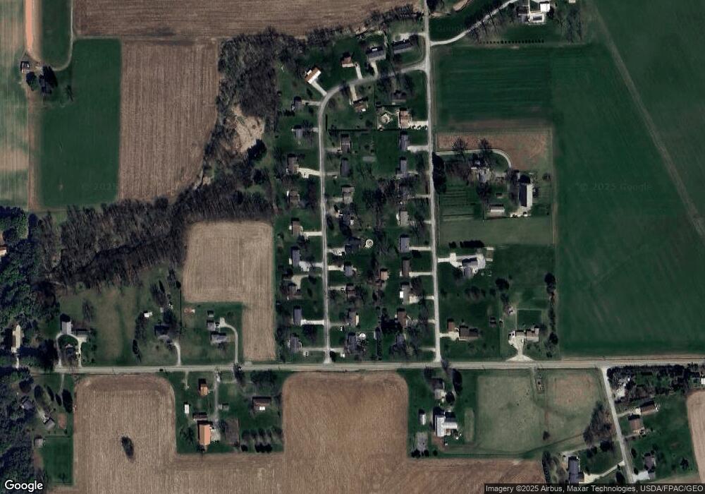
Map
Nearby Homes
- 660 Millborne Rd
- 2044 Paradise Rd
- 334 Kountz Dr
- 132 Sunnyview Ln
- 24 Silver Pond Dr
- 0 Moss Creek Cir Unit 5132921
- 417 Danvers Ct
- 437 Danvers Ct
- 1705 W Hill Dr
- 1043 N Honeytown Rd
- 1474 N Honeytown Rd
- 224 Smucker St
- 205 N Crown Hill Rd
- 10647 McQuaid Rd
- 1923 Viking Ave
- 210 Mohican Ave
- 1809 Blackberry Ln
- 214 Westwood Ave
- 120 Westwood Ave
- 1380 Independence Dr
- 2515 Ruble Dr
- 2475 Ruble Dr
- 2520 N Millborne Rd
- 2457 Ruble Dr
- 2533 Ruble Dr
- 2544 N Millborne Rd
- 2496 N Millborne Rd
- 2484 Ruble Dr
- 2508 Ruble Dr
- 2460 Ruble Dr
- 2472 N Millborne Rd
- 2568 N Millborne Rd
- 2553 Ruble Dr
- 2437 Ruble Dr
- 2530 Ruble Dr
- 2592 N Millborne Rd
- 2440 Ruble Dr
- 2446 N Millborne Rd
- 2493 N Millborne Rd
- 2554 Ruble Dr