24951 T75 Rd Cedaredge, CO 81413
Estimated Value: $457,918 - $646,000
3
Beds
2
Baths
1,872
Sq Ft
$281/Sq Ft
Est. Value
About This Home
This home is located at 24951 T75 Rd, Cedaredge, CO 81413 and is currently estimated at $525,480, approximately $280 per square foot. 24951 T75 Rd is a home located in Delta County with nearby schools including Cedaredge Elementary School, Cedaredge Middle School, and Cedaredge High School.
Ownership History
Date
Name
Owned For
Owner Type
Purchase Details
Closed on
May 29, 2009
Sold by
Stites Johnnie L and Stites Anne E
Bought by
Calvert Lonnie R and Calvert Melva L
Current Estimated Value
Home Financials for this Owner
Home Financials are based on the most recent Mortgage that was taken out on this home.
Original Mortgage
$228,000
Outstanding Balance
$141,483
Interest Rate
4.76%
Mortgage Type
New Conventional
Estimated Equity
$383,997
Purchase Details
Closed on
Sep 17, 2004
Sold by
Madrid Karen F
Bought by
Calvert Lonnie R and Stites Johnnie L
Purchase Details
Closed on
Apr 4, 1989
Sold by
Breitnauer
Bought by
Madrid Calvert Lonnie R and Madrid Calvert
Create a Home Valuation Report for This Property
The Home Valuation Report is an in-depth analysis detailing your home's value as well as a comparison with similar homes in the area
Purchase History
| Date | Buyer | Sale Price | Title Company |
|---|---|---|---|
| Calvert Lonnie R | $285,000 | Fahtco | |
| Calvert Lonnie R | $244,500 | -- | |
| Madrid Calvert Lonnie R | $71,500 | -- |
Source: Public Records
Mortgage History
| Date | Status | Borrower | Loan Amount |
|---|---|---|---|
| Open | Calvert Lonnie R | $228,000 |
Source: Public Records
Tax History
| Year | Tax Paid | Tax Assessment Tax Assessment Total Assessment is a certain percentage of the fair market value that is determined by local assessors to be the total taxable value of land and additions on the property. | Land | Improvement |
|---|---|---|---|---|
| 2024 | $950 | $22,062 | $6,028 | $16,034 |
| 2023 | $950 | $22,062 | $6,028 | $16,034 |
| 2022 | $572 | $16,470 | $4,240 | $12,230 |
| 2021 | $574 | $16,944 | $4,362 | $12,582 |
| 2020 | $485 | $15,297 | $3,933 | $11,364 |
| 2019 | $912 | $15,297 | $3,933 | $11,364 |
| 2018 | $886 | $14,291 | $3,600 | $10,691 |
| 2017 | $886 | $14,291 | $3,600 | $10,691 |
| 2016 | $887 | $15,718 | $5,333 | $10,385 |
| 2014 | -- | $15,280 | $5,731 | $9,549 |
Source: Public Records
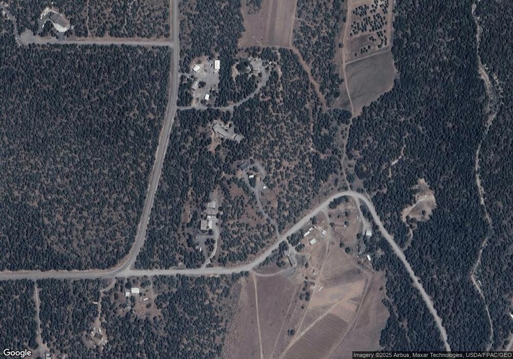
Map
Nearby Homes
- 24593 Timothy Rd
- 2115 2500 Rd
- 24119 Ute Trail Rd
- TBD SE 3rd Lot 5 Will-O-way Subdivision St
- Unit 13 W Elk Dr
- 18200 Surface Creek Rd
- 20709 Highway 65
- 18865 Northridge Rd
- 25615 Starner Loop Rd
- 17969 Surface Creek Rd
- 18377 Highway 65
- 22876 Thunder Mountain Ln
- 20856 2300 Rd
- 23045 T Rd
- 17656 2550 Rd
- 794 NE Indian Camp Ave
- 17826 & 17830 Hanson Rd
- 377 NE Indian Camp Ave
- 17343 Surface Creek Rd
- 470 NE Elder Ct
- T-75 Road
- 19922 Surface Creek Rd
- 24879 T75 Rd
- 19930 Surface Creek Rd
- 19926 Surface Creek Rd
- 24954 T75 Rd
- 25026 T75 Rd
- 24816 T75 Rd
- 24806 T75 Rd
- 20055 Surface Creek Rd
- 19975 Surface Creek Rd
- 19961 Surface Creek Rd
- 19718 Surface Creek Rd
- 25213 T75 Rd
- 20103 Surface Creek Rd
- 20151 Surface Creek Rd
- 25348 T75 Rd
- 20181 Surface Creek Rd
- 20156 Surface Creek Rd
- 19676 Surface Creek Rd
Your Personal Tour Guide
Ask me questions while you tour the home.