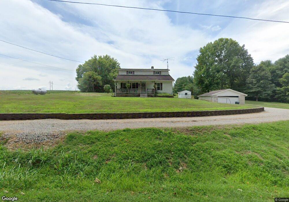
2496 Coal Dock Rd Waverly, OH 45690
Estimated Value: $186,205 - $317,000
Studio
1
Bath
1,632
Sq Ft
$142/Sq Ft
Est. Value
About This Home
This home is located at 2496 Coal Dock Rd, Waverly, OH 45690 and is currently estimated at $231,301, approximately $141 per square foot. 2496 Coal Dock Rd is a home located in Pike County.
Ownership History
Date
Name
Owned For
Owner Type
Purchase Details
Closed on
Oct 19, 2017
Sold by
Bapst Ryan Foster
Bought by
Button Susan Diane
Current Estimated Value
Purchase Details
Closed on
Jul 3, 2012
Sold by
Davis Henry C and Davis Rosa L
Bought by
Bapst Ryan Foster and Bapst Susan Diane
Home Financials for this Owner
Home Financials are based on the most recent Mortgage that was taken out on this home.
Original Mortgage
$104,000
Interest Rate
3.5%
Mortgage Type
Adjustable Rate Mortgage/ARM
Create a Home Valuation Report for This Property
The Home Valuation Report is an in-depth analysis detailing your home's value as well as a comparison with similar homes in the area
Purchase History
We collect this data history from publicly available records. To have your information removed, we recommend requesting removal directly through your county’s website.
| Date | Buyer | Sale Price | Title Company |
|---|---|---|---|
| Button Susan Diane | -- | None Available | |
| Bapst Ryan Foster | -- | None Available |
Source: Public Records
Mortgage History
We collect this data history from publicly available records. To have your information removed, we recommend requesting removal directly through your county’s website.
| Date | Status | Borrower | Loan Amount |
|---|---|---|---|
| Previous Owner | Bapst Ryan Foster | $104,000 |
Source: Public Records
Tax History
| Year | Tax Paid | Tax Assessment Tax Assessment Total Assessment is a certain percentage of the fair market value that is determined by local assessors to be the total taxable value of land and additions on the property. | Land | Improvement |
|---|---|---|---|---|
| 2025 | $1,476 | $47,160 | $6,550 | $40,610 |
| 2024 | $1,476 | $47,160 | $6,550 | $40,610 |
| 2023 | $1,482 | $47,160 | $6,550 | $40,610 |
| 2022 | $1,250 | $38,870 | $6,550 | $32,320 |
| 2021 | $1,215 | $38,870 | $6,550 | $32,320 |
| 2020 | $1,225 | $38,870 | $6,550 | $32,320 |
| 2019 | $1,121 | $35,330 | $5,950 | $29,380 |
| 2018 | $1,065 | $35,330 | $5,950 | $29,380 |
| 2017 | $1,054 | $35,330 | $5,950 | $29,380 |
| 2016 | $1,016 | $31,540 | $2,400 | $29,140 |
| 2015 | $1,016 | $31,540 | $2,400 | $29,140 |
| 2014 | $1,034 | $31,540 | $2,400 | $29,140 |
| 2013 | $1,100 | $31,540 | $2,400 | $29,140 |
| 2012 | $1,142 | $31,540 | $2,400 | $29,140 |
Source: Public Records
Map
Nearby Homes
- 2662 Adams Rd
- 1040 Straight Creek Rd
- 0 E Side State Route 335
- 7679 Ohio 335
- 806 Swift Creek Rd
- 9459 State Route 335
- 6269 Beaver Pike
- 0 Straight Creek Rd
- 2765 Bobo Rd
- 0 Carrs Run Rd
- 0 Swift Creek Rd
- 352 Holbrook Rd
- 0 Holbrook Rd
- 459 Holbrook Rd
- 4604 Straight Creek Rd
- 0 Dutch Hollow Rd
- 3725 Beaver Creek Rd
- 3676 Beaver Creek Rd
- 338 Anderson Ln
- 215 Ohio 335
- 2519 Coal Dock Rd
- 2391 Coal Dock Rd Unit 197403
- 6202 Red Hollow Rd
- 2272 Coal Dock Rd
- 6391 Red Hollow Rd
- 6199 Red Hollow Rd
- 2247 Coal Dock Rd
- 5955 Red Hollow Rd
- 6235 Red Hollow Rd
- 6303 Red Hollow Rd
- 2759 Coal Dock Rd
- 5834 Red Hollow Rd
- 6326 Red Hollow Rd
- 6340 Red Hollow Rd
- 6323 Red Hollow Rd
- 2147 Coal Dock Rd
- 2120 Coal Dock Rd
- 6416 Red Hollow Rd
- 2123 Coal Dock Rd
- 6365 Red Hollow Rd
Your Personal Tour Guide
Ask me questions while you tour the home.