Estimated Value: $416,000 - $546,000
5
Beds
3
Baths
3,432
Sq Ft
$136/Sq Ft
Est. Value
About This Home
This home is located at 2496 Scott Rd Unit 1, Rice, WA 99167 and is currently estimated at $466,002, approximately $135 per square foot. 2496 Scott Rd Unit 1 is a home located in Stevens County.
Ownership History
Date
Name
Owned For
Owner Type
Purchase Details
Closed on
Nov 21, 2012
Sold by
Wells Fargo Bank Na
Bought by
Wilson Kenneth Eugene and Wilson Pamela Bea
Current Estimated Value
Purchase Details
Closed on
Apr 20, 2012
Sold by
Federal National Mortgage Association
Bought by
Wells Fargo Bank Na
Purchase Details
Closed on
Mar 22, 2012
Sold by
Thompson Michael L and Wells Fargo Bank Na
Bought by
Federal National Mortgage Association
Purchase Details
Closed on
Mar 21, 2005
Sold by
Dudley John I and Dudley Edith A
Bought by
Thompson Michael L
Home Financials for this Owner
Home Financials are based on the most recent Mortgage that was taken out on this home.
Original Mortgage
$164,700
Interest Rate
8.75%
Mortgage Type
Adjustable Rate Mortgage/ARM
Create a Home Valuation Report for This Property
The Home Valuation Report is an in-depth analysis detailing your home's value as well as a comparison with similar homes in the area
Home Values in the Area
Average Home Value in this Area
Purchase History
| Date | Buyer | Sale Price | Title Company |
|---|---|---|---|
| Wilson Kenneth Eugene | $165,000 | Stevens County Title Company | |
| Wells Fargo Bank Na | -- | Servicelink | |
| Federal National Mortgage Association | $212,954 | Stevens County Title Company | |
| Thompson Michael L | $191,800 | Stevens County Title Co |
Source: Public Records
Mortgage History
| Date | Status | Borrower | Loan Amount |
|---|---|---|---|
| Previous Owner | Thompson Michael L | $164,700 |
Source: Public Records
Tax History Compared to Growth
Tax History
| Year | Tax Paid | Tax Assessment Tax Assessment Total Assessment is a certain percentage of the fair market value that is determined by local assessors to be the total taxable value of land and additions on the property. | Land | Improvement |
|---|---|---|---|---|
| 2024 | $1,997 | $313,687 | $35,888 | $277,799 |
| 2023 | $1,832 | $291,979 | $35,888 | $256,091 |
| 2022 | $1,827 | $277,127 | $35,888 | $241,239 |
| 2021 | $1,982 | $269,061 | $35,888 | $233,173 |
| 2020 | $2,078 | $269,061 | $35,888 | $233,173 |
| 2019 | $2,004 | $262,651 | $35,888 | $226,763 |
| 2018 | $2,071 | $252,556 | $49,346 | $203,210 |
| 2017 | $1,845 | $252,556 | $49,346 | $203,210 |
| 2016 | $1,895 | $252,556 | $49,346 | $203,210 |
| 2015 | -- | $252,556 | $49,346 | $203,210 |
| 2013 | -- | $252,556 | $49,346 | $203,210 |
Source: Public Records
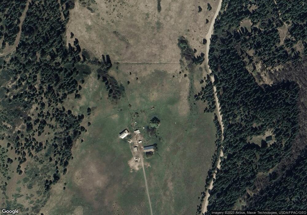
Map
Nearby Homes
- 2391 Scott Rd
- 2599 Scott Rd
- 2264 Scott Rd Unit B
- 2264 Scott Rd
- 3341 Daisy Mine Rd
- 1949 B Scott Rd
- 3312X Daisy Mine Rd
- 3774-C Daisy Mine Rd
- 0 34XX Daisy Mine Rd
- 34XX Daisy Mine Rd
- 20XX Clemons Rd
- 2010 Clemons Rd
- 3600 Block Beck Rd
- 3600 BLK Beck Rd
- 3635 B Breckenridge Rd
- Parcel E Daisy Mine Rd
- Parcel D Daisy Mine Rd
- Parcel C Daisy Mine Rd
- Parcel AB Daisy Mine Rd
- 40XX Daisy Mine Rd