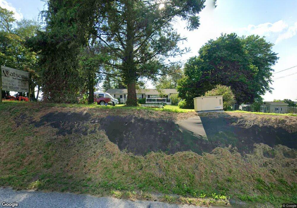
2498 Robert Fulton Hwy Peach Bottom, PA 17563
Estimated Value: $394,000 - $429,422
3
Beds
4
Baths
2,184
Sq Ft
$187/Sq Ft
Est. Value
About This Home
This home is located at 2498 Robert Fulton Hwy, Peach Bottom, PA 17563 and is currently estimated at $407,856, approximately $186 per square foot. 2498 Robert Fulton Hwy is a home located in Lancaster County with nearby schools including Smith Middle School and Solanco High School.
Ownership History
Date
Name
Owned For
Owner Type
Purchase Details
Closed on
Nov 18, 2005
Sold by
Duncan Anita L
Bought by
Watson Lorna and Watson David
Current Estimated Value
Home Financials for this Owner
Home Financials are based on the most recent Mortgage that was taken out on this home.
Original Mortgage
$206,625
Interest Rate
8.45%
Mortgage Type
Fannie Mae Freddie Mac
Create a Home Valuation Report for This Property
The Home Valuation Report is an in-depth analysis detailing your home's value as well as a comparison with similar homes in the area
Home Values in the Area
Average Home Value in this Area
Purchase History
| Date | Buyer | Sale Price | Title Company |
|---|---|---|---|
| Watson Lorna | $217,500 | Pormance Title Co Inc |
Source: Public Records
Mortgage History
| Date | Status | Borrower | Loan Amount |
|---|---|---|---|
| Previous Owner | Watson Lorna | $206,625 |
Source: Public Records
Tax History Compared to Growth
Tax History
| Year | Tax Paid | Tax Assessment Tax Assessment Total Assessment is a certain percentage of the fair market value that is determined by local assessors to be the total taxable value of land and additions on the property. | Land | Improvement |
|---|---|---|---|---|
| 2025 | $2,749 | $176,200 | $78,500 | $97,700 |
| 2024 | $2,749 | $176,200 | $78,500 | $97,700 |
| 2023 | $2,666 | $176,200 | $78,500 | $97,700 |
| 2022 | $2,549 | $176,200 | $78,500 | $97,700 |
| 2021 | $2,393 | $176,200 | $78,500 | $97,700 |
| 2020 | $2,393 | $176,200 | $78,500 | $97,700 |
| 2019 | $2,393 | $176,200 | $78,500 | $97,700 |
| 2018 | $518 | $168,300 | $78,500 | $89,800 |
| 2017 | $2,297 | $140,100 | $42,200 | $97,900 |
| 2016 | $2,297 | $140,100 | $42,200 | $97,900 |
| 2015 | $553 | $140,100 | $42,200 | $97,900 |
| 2014 | $1,581 | $140,100 | $42,200 | $97,900 |
Source: Public Records
Map
Nearby Homes
- 225 Cedar Hill Rd
- 19 Jubilee Park
- 131 Mason Dixon Rd
- 243 S Little Britain Rd
- 243 Little Britain Rd
- 866 Quarry Rd
- 306 Old Mill Rd
- 0 Nottingham Rd
- 98 W Red Hill Rd
- 312 Fox Hunt Dr
- 3 Anthony Ct
- 2 Anthony Ct
- 0 New Bridge Rd Unit MDCC2014434
- 603 Poplar Ln
- 0 Ridge Rd Unit MDCC2018338
- 35 S View Rd
- 743 Bell Manor Rd
- 721 Bell Manor Rd
- L 9 Londonderry Ln Unit 9
- Lot 16 Londonderry Ln
- 2500 Robert Fulton Hwy
- 273 Black Barren Rd
- 2487 Robert Fulton Hwy
- 2484 Robert Fulton Hwy
- 281 Black Barren Rd
- 279 Black Barren Rd
- 2485 Robert Fulton Hwy
- 0 Black Baron Rd Unit 6288040
- 0 Black Baron Rd Unit 1009795678
- 282 Black Barren Rd
- 2480 Robert Fulton Hwy
- 280 Black Barren Rd
- 267 Black Barren Rd Unit 2
- 267 Black Barren Rd
- 290 Black Barren Rd
- 517 Little Britain Church Rd
- 2474 Robert Fulton Hwy
- 264 Black Barren Rd
- 108 New Texas Terrace
- 266 Black Barren Rd