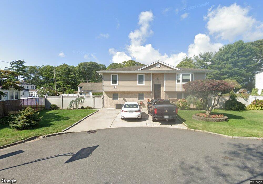
24A Anchor Ct West Babylon, NY 11704
Estimated Value: $624,339 - $739,000
--
Bed
--
Bath
2,472
Sq Ft
$272/Sq Ft
Est. Value
About This Home
This home is located at 24A Anchor Ct, West Babylon, NY 11704 and is currently estimated at $673,085, approximately $272 per square foot. 24A Anchor Ct is a home located in Suffolk County with nearby schools including West Babylon Senior High School.
Ownership History
Date
Name
Owned For
Owner Type
Purchase Details
Closed on
Jun 15, 2001
Sold by
Mikucki Katarzyna and Mikucki Dariusz
Bought by
Wojciechowski Tomasz and Przyborowska Magdalena
Current Estimated Value
Home Financials for this Owner
Home Financials are based on the most recent Mortgage that was taken out on this home.
Original Mortgage
$204,000
Outstanding Balance
$77,708
Interest Rate
7.14%
Estimated Equity
$595,377
Purchase Details
Closed on
Dec 15, 1998
Sold by
Schacker Joanne
Bought by
Mikucki Dariusz and Mikuci Katarzyna
Home Financials for this Owner
Home Financials are based on the most recent Mortgage that was taken out on this home.
Original Mortgage
$102,000
Interest Rate
6.53%
Create a Home Valuation Report for This Property
The Home Valuation Report is an in-depth analysis detailing your home's value as well as a comparison with similar homes in the area
Home Values in the Area
Average Home Value in this Area
Purchase History
| Date | Buyer | Sale Price | Title Company |
|---|---|---|---|
| Wojciechowski Tomasz | $255,000 | Fidelity National Title Ins | |
| Mikucki Dariusz | $177,000 | -- |
Source: Public Records
Mortgage History
| Date | Status | Borrower | Loan Amount |
|---|---|---|---|
| Open | Wojciechowski Tomasz | $204,000 | |
| Previous Owner | Mikucki Dariusz | $102,000 |
Source: Public Records
Tax History Compared to Growth
Tax History
| Year | Tax Paid | Tax Assessment Tax Assessment Total Assessment is a certain percentage of the fair market value that is determined by local assessors to be the total taxable value of land and additions on the property. | Land | Improvement |
|---|---|---|---|---|
| 2024 | $13,122 | $3,840 | $400 | $3,440 |
| 2023 | $13,122 | $3,840 | $400 | $3,440 |
| 2022 | $12,261 | $3,840 | $400 | $3,440 |
| 2021 | $11,063 | $3,840 | $400 | $3,440 |
| 2020 | $11,495 | $3,840 | $400 | $3,440 |
| 2019 | $11,495 | $0 | $0 | $0 |
| 2018 | $10,965 | $3,840 | $400 | $3,440 |
| 2017 | $10,965 | $3,840 | $400 | $3,440 |
| 2016 | $10,946 | $3,840 | $400 | $3,440 |
| 2015 | -- | $3,840 | $400 | $3,440 |
| 2014 | -- | $3,840 | $400 | $3,440 |
Source: Public Records
Map
Nearby Homes
- 27 E Neck Ct
- 30 Arnold Ave
- 162 Millard Ave Unit 162
- 5 Petersen Ct Unit 5
- 72 Nehring Ave
- 600 Little East Neck Rd
- 805 Arlington Rd
- 121 Plymouth St
- 79 Woodrow Pkwy
- 29 Bailey Ave
- 7 Bailey Ave
- 32 Santapogue Dr
- 227 N Railroad Ave
- 252 Locust Ave
- 31 Tappan Ave
- 833 Bermuda Rd
- 14 Crocus Ct
- 66 Stowe Ave
- 246 Locust Ave
- 145 Centre Ave