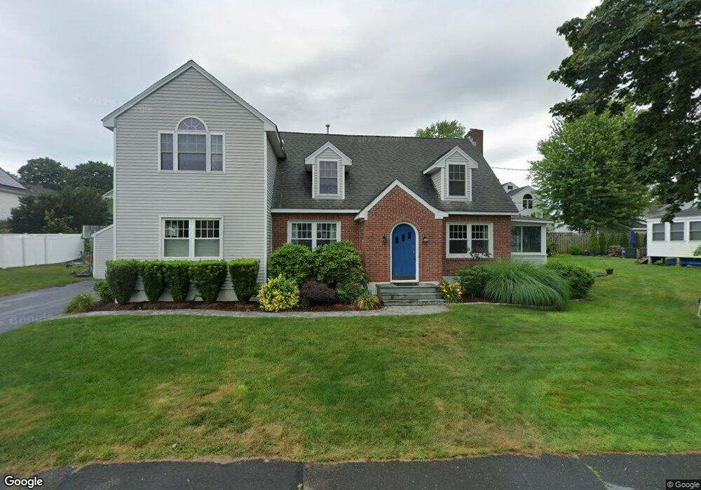
25 3rd Ave Branford, CT 06405
Estimated Value: $584,000 - $982,000
About This Home
This home is located at 25 3rd Ave, Branford, CT 06405 and is currently estimated at $847,354, approximately $334 per square foot. 25 3rd Ave is a home located in New Haven County with nearby schools including Francis Walsh Intermediate School, Branford High School, and East Shoreline Catholic Academy.
Ownership History
We collect this data history from publicly available records. To have your information removed, we recommend requesting removal directly through your county’s website.
Purchase Details
Home Financials for this Owner
Home Financials are based on the most recent Mortgage that was taken out on this home.Purchase Details
Home Values in the Area
Average Home Value in this Area
Purchase History
We collect this data history from publicly available records. To have your information removed, we recommend requesting removal directly through your county’s website.
| Date | Buyer | Sale Price | Title Company |
|---|---|---|---|
| $205,000 | -- | ||
| $225,000 | -- |
Mortgage History
We collect this data history from publicly available records. To have your information removed, we recommend requesting removal directly through your county’s website.
| Date | Status | Borrower | Loan Amount |
|---|---|---|---|
| Open | $196,000 | ||
| Closed | $120,000 | ||
| Previous Owner | $182,400 |
Tax History
We collect this data history from publicly available records. To have your information removed, we recommend requesting removal directly through your county’s website.
| Year | Tax Paid | Tax Assessment Tax Assessment Total Assessment is a certain percentage of the fair market value that is determined by local assessors to be the total taxable value of land and additions on the property. | Land | Improvement |
|---|---|---|---|---|
| 2025 | $12,311 | $575,300 | $264,000 | $311,300 |
| 2024 | $12,021 | $394,400 | $191,000 | $203,400 |
| 2023 | $11,789 | $394,400 | $191,000 | $203,400 |
| 2022 | $11,615 | $394,400 | $191,000 | $203,400 |
| 2021 | $11,615 | $394,400 | $191,000 | $203,400 |
| 2020 | $11,406 | $394,400 | $191,000 | $203,400 |
| 2019 | $10,375 | $356,900 | $175,100 | $181,800 |
| 2018 | $10,222 | $356,900 | $175,100 | $181,800 |
| 2017 | $10,161 | $356,900 | $175,100 | $181,800 |
| 2016 | $9,783 | $356,900 | $175,100 | $181,800 |
| 2015 | $9,611 | $356,900 | $175,100 | $181,800 |
| 2014 | $8,924 | $340,100 | $159,200 | $180,900 |
Map
- 9 1st Ave
- 50 Spring Rock Rd
- 244 Pine Orchard Rd
- 92 Limewood Ave Unit C4
- 21 Chapel Dr
- 42 Waverly Rd
- 88 Meadow Wood Rd
- 10 Brightwood Ln
- 37 Woodside Dr
- 60 Island View Ave
- 25 S Montowese St Unit 2
- 3 Garden St
- 124 Damascus Rd
- 15 Riverside Dr
- 15 Linden Shores Unit 15
- 44 Riverside Dr
- 200 Damascus Rd
- 0 Belden Island Unit 24166492
- 0 Rogers Island
- 60 Maple St Unit 39A
- 121 Hotchkiss Grove Rd
- 125 Hotchkiss Grove Rd
- 117 Hotchkiss Grove Rd
- 129 Hotchkiss Grove Rd
- 5 Orchard Ave
- 124 Hotchkiss Grove Rd
- 42 2nd Ave
- 38B 2nd Ave
- 4 Orchard Ave
- 133 Hotchkiss Grove Rd
- 38 B Second
- 38 A Second
- 38 2nd Ave
- 43 2nd Ave
- 132 Hotchkiss Grove Rd
- 39 2nd Ave
- 14 Orchard Ave
- 101 Hotchkiss Grove Rd Unit 18
- 101 Hotchkiss Grove Rd Unit 17
- 101 Hotchkiss Grove Rd Unit 16
Ask me questions while you tour the home.