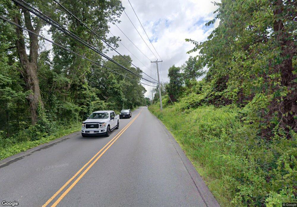
25-A B Muggett Hill Rd Charlton, MA 01507
Estimated Value: $516,000 - $560,000
4
Beds
2
Baths
2,304
Sq Ft
$236/Sq Ft
Est. Value
About This Home
This home is located at 25-A B Muggett Hill Rd, Charlton, MA 01507 and is currently estimated at $543,134, approximately $235 per square foot. 25-A B Muggett Hill Rd is a home with nearby schools including Shepherd Hill Regional High School.
Ownership History
Date
Name
Owned For
Owner Type
Purchase Details
Closed on
Jun 9, 2017
Sold by
Christy Lori M and Christy Steven A
Bought by
Lheureux Jennifer M
Current Estimated Value
Home Financials for this Owner
Home Financials are based on the most recent Mortgage that was taken out on this home.
Original Mortgage
$261,280
Outstanding Balance
$216,345
Interest Rate
4.03%
Mortgage Type
New Conventional
Estimated Equity
$326,789
Purchase Details
Closed on
Jul 21, 1999
Sold by
Regep Dev Corp
Bought by
Bacon Sandra J and Bacon John R
Home Financials for this Owner
Home Financials are based on the most recent Mortgage that was taken out on this home.
Original Mortgage
$116,000
Interest Rate
7.49%
Mortgage Type
Purchase Money Mortgage
Create a Home Valuation Report for This Property
The Home Valuation Report is an in-depth analysis detailing your home's value as well as a comparison with similar homes in the area
Home Values in the Area
Average Home Value in this Area
Purchase History
| Date | Buyer | Sale Price | Title Company |
|---|---|---|---|
| Lheureux Jennifer M | $284,000 | -- | |
| Lheureux Jennifer M | $284,000 | -- | |
| Bacon Sandra J | $145,000 | -- | |
| Bacon Sandra J | $145,000 | -- |
Source: Public Records
Mortgage History
| Date | Status | Borrower | Loan Amount |
|---|---|---|---|
| Open | Lheureux Jennifer M | $261,280 | |
| Closed | Lheureux Jennifer M | $261,280 | |
| Previous Owner | Bacon Sandra J | $116,000 |
Source: Public Records
Tax History
| Year | Tax Paid | Tax Assessment Tax Assessment Total Assessment is a certain percentage of the fair market value that is determined by local assessors to be the total taxable value of land and additions on the property. | Land | Improvement |
|---|---|---|---|---|
| 2025 | $4,938 | $443,700 | $81,000 | $362,700 |
| 2024 | $4,764 | $420,100 | $78,000 | $342,100 |
| 2023 | $4,877 | $400,700 | $75,000 | $325,700 |
| 2022 | $4,177 | $314,300 | $73,800 | $240,500 |
| 2021 | $4,173 | $278,000 | $72,000 | $206,000 |
| 2020 | $4,064 | $272,000 | $66,000 | $206,000 |
| 2019 | $4,017 | $272,000 | $66,000 | $206,000 |
| 2018 | $3,672 | $272,000 | $66,000 | $206,000 |
| 2017 | $2,689 | $190,700 | $60,000 | $130,700 |
| 2016 | $2,628 | $190,700 | $60,000 | $130,700 |
Source: Public Records
Map
Nearby Homes
- 9 L Stevens Rd Unit B
- 9 L Stevens Rd Unit A
- 7 L Stevens Rd Unit A
- 7 L Stevens Rd Unit B
- 0 Freeman Rd Unit 73369281
- 8 Northside Rd
- 25 N Main St Unit A
- 6 Gillespie Rd
- 34 Worcester Rd
- 105 Carroll Hill Rd
- 0 Worcester Rd
- 28 Southbridge Rd Unit 308
- 40 Carroll Hill Rd
- 0 Blood Rd
- L2 Partridge Hill Rd
- L3 Partridge Hill Rd
- 6 S Sullivan Rd
- 0 Hammond Hill Rd
- 15 S Sullivan Rd
- 68 - 74 Sturbridge Rd
- 25 Muggett Hill Rd Unit B
- 25 Muggett Hill Rd Unit A
- 25 Muggett Hill Rd Unit A (Left)
- 25B Muggett Hill Rd
- 25 Muggett Hill Rd
- 28 Muggett Hill Rd
- 40 Old Muggett Hill Rd
- 26 Muggett Hill Rd
- 56 Muggett Hill Rd
- 30 Muggett Hill Rd
- 45 Old Muggett Hill Rd
- 32 Muggett Hill Rd
- 22 Muggett Hill Rd
- 34 Muggett Hill Rd
- 10 Freeman Rd
- 15 Freeman Rd
- 12 Freeman Rd
- 14 Freeman Rd
- 27 Freeman Rd
- 29 Old Muggett Hill Rd
Your Personal Tour Guide
Ask me questions while you tour the home.
