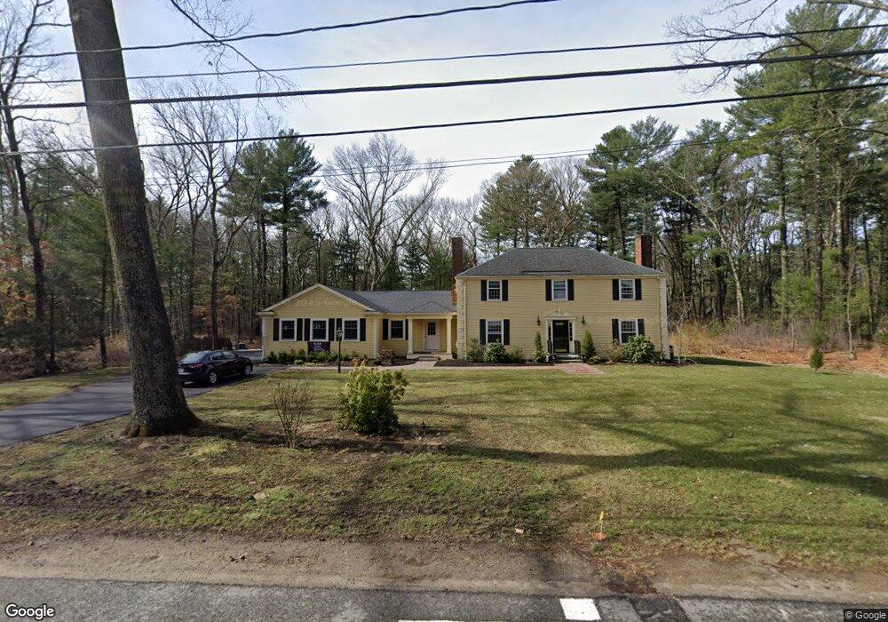
25 Adams Ln Wayland, MA 01778
Estimated Value: $1,562,000 - $1,899,000
5
Beds
4
Baths
3,965
Sq Ft
$434/Sq Ft
Est. Value
About This Home
This home is located at 25 Adams Ln, Wayland, MA 01778 and is currently estimated at $1,722,515, approximately $434 per square foot. 25 Adams Ln is a home located in Middlesex County with nearby schools including Wayland High School.
Ownership History
Date
Name
Owned For
Owner Type
Purchase Details
Closed on
May 25, 2007
Sold by
Stoneman J Charles and Stoneman Peter C
Bought by
Chafe Marie E and Chafe Matthew A
Current Estimated Value
Home Financials for this Owner
Home Financials are based on the most recent Mortgage that was taken out on this home.
Original Mortgage
$640,000
Outstanding Balance
$391,412
Interest Rate
6.27%
Mortgage Type
Purchase Money Mortgage
Estimated Equity
$1,331,103
Create a Home Valuation Report for This Property
The Home Valuation Report is an in-depth analysis detailing your home's value as well as a comparison with similar homes in the area
Home Values in the Area
Average Home Value in this Area
Purchase History
| Date | Buyer | Sale Price | Title Company |
|---|---|---|---|
| Chafe Marie E | $800,000 | -- |
Source: Public Records
Mortgage History
| Date | Status | Borrower | Loan Amount |
|---|---|---|---|
| Open | Chafe Marie E | $640,000 |
Source: Public Records
Tax History Compared to Growth
Tax History
| Year | Tax Paid | Tax Assessment Tax Assessment Total Assessment is a certain percentage of the fair market value that is determined by local assessors to be the total taxable value of land and additions on the property. | Land | Improvement |
|---|---|---|---|---|
| 2025 | $22,849 | $1,461,900 | $699,500 | $762,400 |
| 2024 | $21,638 | $1,394,200 | $666,100 | $728,100 |
| 2023 | $20,306 | $1,219,600 | $606,000 | $613,600 |
| 2022 | $19,961 | $1,087,800 | $516,100 | $571,700 |
| 2021 | $19,440 | $1,049,700 | $478,000 | $571,700 |
| 2020 | $18,643 | $1,049,700 | $478,000 | $571,700 |
| 2019 | $15,211 | $832,100 | $455,600 | $376,500 |
| 2018 | $14,718 | $816,300 | $474,300 | $342,000 |
| 2017 | $14,626 | $806,300 | $451,400 | $354,900 |
| 2016 | $13,879 | $800,400 | $459,800 | $340,600 |
| 2015 | $14,249 | $774,800 | $459,800 | $315,000 |
Source: Public Records
Map
Nearby Homes
- 24 Claypit Hill Rd
- 50 3 Ponds Rd
- 14 Lundy Ln
- 156 Boston Post Rd
- 31 White Rd
- 10 Hayward Rd
- 11 Wadsworth Ln Unit 11
- 17 Glezen Ln
- 17 Hastings Way Unit 17
- 15 Lewis Path
- 19 Old Connecticut Path
- 2 Forest Hill Rd
- 72 Love Ln
- 82 Buckskin Dr
- 23 Covered Bridge Ln
- 42 Westerly Rd
- 142 Pelham Island Rd
- 19 Warren Ln
- 1 Pine Summit Cir
- 448 & 454 Concord Rd
- 29 Adams Ln
- 21 Adams Ln
- 24 Adams Ln
- 30 Adams Ln
- 17 Adams Ln
- 70 Claypit Hill Rd
- 74 Claypit Hill Rd
- 66 Claypit Hill Rd
- 7 3 Ponds Rd
- 78 Claypit Hill Rd
- 78 Claypit Hill Rd Unit ID1271279P
- 62 Claypit Hill Rd
- 18 Adams Ln
- 82 Claypit Hill Rd
- 11 Adams Ln
- 8 3 Ponds Rd
- 7 Adams Ln
- 11 3 Ponds Rd
- 71 Claypit Hill Rd
- 75 Claypit Hill Rd