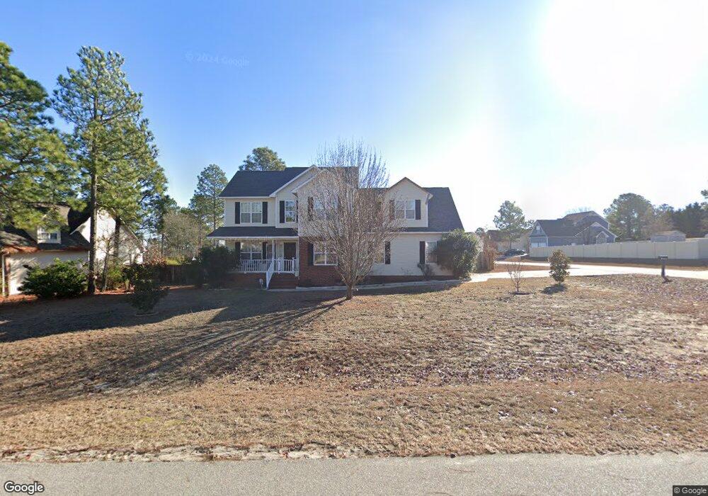
25 Advance Dr Lillington, NC 27546
Estimated Value: $291,000 - $313,000
3
Beds
3
Baths
2,298
Sq Ft
$132/Sq Ft
Est. Value
About This Home
This home is located at 25 Advance Dr, Lillington, NC 27546 and is currently estimated at $304,383, approximately $132 per square foot. 25 Advance Dr is a home located in Harnett County with nearby schools including Anderson Creek Primary School, South Harnett Elementary School, and Western Harnett Middle School.
Ownership History
Date
Name
Owned For
Owner Type
Purchase Details
Closed on
Sep 26, 2022
Sold by
Nicholson Williamson Jr Paul
Bought by
Williamson Paul Nicholson
Current Estimated Value
Home Financials for this Owner
Home Financials are based on the most recent Mortgage that was taken out on this home.
Original Mortgage
$137,750
Outstanding Balance
$131,757
Interest Rate
5.22%
Mortgage Type
New Conventional
Estimated Equity
$172,626
Purchase Details
Closed on
Aug 20, 2012
Sold by
Brown Charles E and Brown Meredith N
Bought by
Brown Meredith N
Create a Home Valuation Report for This Property
The Home Valuation Report is an in-depth analysis detailing your home's value as well as a comparison with similar homes in the area
Home Values in the Area
Average Home Value in this Area
Purchase History
| Date | Buyer | Sale Price | Title Company |
|---|---|---|---|
| Williamson Paul Nicholson | $145,000 | -- | |
| Brown Meredith N | -- | None Available |
Source: Public Records
Mortgage History
| Date | Status | Borrower | Loan Amount |
|---|---|---|---|
| Open | Williamson Paul Nicholson | $137,750 |
Source: Public Records
Tax History Compared to Growth
Tax History
| Year | Tax Paid | Tax Assessment Tax Assessment Total Assessment is a certain percentage of the fair market value that is determined by local assessors to be the total taxable value of land and additions on the property. | Land | Improvement |
|---|---|---|---|---|
| 2025 | $1,732 | $234,946 | $0 | $0 |
| 2024 | $1,732 | $234,946 | $0 | $0 |
| 2023 | $1,732 | $234,946 | $0 | $0 |
| 2022 | $1,500 | $234,946 | $0 | $0 |
| 2021 | $1,500 | $164,530 | $0 | $0 |
| 2020 | $1,500 | $164,530 | $0 | $0 |
| 2019 | $1,485 | $164,530 | $0 | $0 |
| 2018 | $1,485 | $164,530 | $0 | $0 |
| 2017 | $1,485 | $164,530 | $0 | $0 |
| 2016 | $1,603 | $178,250 | $0 | $0 |
| 2015 | $1,603 | $178,250 | $0 | $0 |
| 2014 | $1,603 | $178,250 | $0 | $0 |
Source: Public Records
Map
Nearby Homes
- 412 Dunbar Dr
- 73 Harborwood St
- Wayfare Plan at Creekside Oaks North
- Embark Plan at Creekside Oaks North
- Prelude Plan at Creekside Oaks North
- Freelance Plan at Creekside Oaks North
- 296 Greenbay St
- Engage Plan at Creekside Oaks North
- 77 Teak Wood Ct
- 284 Harborwood St
- 91 Harborwood St
- 293 Harborwood St
- 251 Harborwood St
- 1234 Micahs Way N
- 352 Wood Point Dr
- 305 Harborwood St