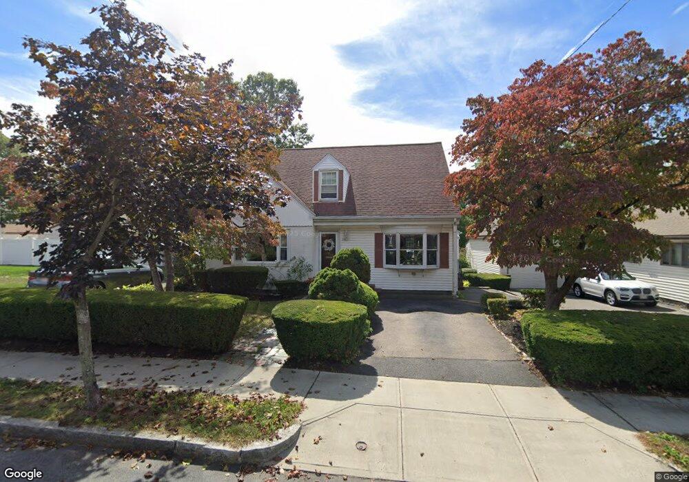
25 Ames St Quincy, MA 02169
Estimated Value: $737,000 - $814,000
3
Beds
2
Baths
1,875
Sq Ft
$414/Sq Ft
Est. Value
About This Home
This home is located at 25 Ames St, Quincy, MA 02169 and is currently estimated at $776,577, approximately $414 per square foot. 25 Ames St is a home located in Norfolk County with nearby schools including South West Middle School, Lincoln-Hancock Community School, and Quincy High School.
Ownership History
Date
Name
Owned For
Owner Type
Purchase Details
Closed on
Aug 13, 1999
Sold by
Del Greco Ft
Bought by
Oriola Glen P and Oriola Theresa L
Current Estimated Value
Home Financials for this Owner
Home Financials are based on the most recent Mortgage that was taken out on this home.
Original Mortgage
$120,000
Outstanding Balance
$34,484
Interest Rate
7.65%
Mortgage Type
Purchase Money Mortgage
Estimated Equity
$742,093
Create a Home Valuation Report for This Property
The Home Valuation Report is an in-depth analysis detailing your home's value as well as a comparison with similar homes in the area
Home Values in the Area
Average Home Value in this Area
Purchase History
| Date | Buyer | Sale Price | Title Company |
|---|---|---|---|
| Oriola Glen P | $225,000 | -- |
Source: Public Records
Mortgage History
| Date | Status | Borrower | Loan Amount |
|---|---|---|---|
| Open | Oriola Glen P | $120,000 |
Source: Public Records
Tax History Compared to Growth
Tax History
| Year | Tax Paid | Tax Assessment Tax Assessment Total Assessment is a certain percentage of the fair market value that is determined by local assessors to be the total taxable value of land and additions on the property. | Land | Improvement |
|---|---|---|---|---|
| 2025 | $8,197 | $710,900 | $314,700 | $396,200 |
| 2024 | $7,808 | $692,800 | $299,900 | $392,900 |
| 2023 | $7,277 | $653,800 | $285,800 | $368,000 |
| 2022 | $7,093 | $592,100 | $229,100 | $363,000 |
| 2021 | $7,035 | $579,500 | $229,100 | $350,400 |
| 2020 | $7,038 | $566,200 | $229,100 | $337,100 |
| 2019 | $6,441 | $513,200 | $222,600 | $290,600 |
| 2018 | $6,374 | $477,800 | $206,300 | $271,500 |
| 2017 | $6,055 | $427,300 | $196,600 | $230,700 |
| 2016 | $5,645 | $393,100 | $179,000 | $214,100 |
| 2015 | $5,344 | $366,000 | $169,000 | $197,000 |
| 2014 | $5,018 | $337,700 | $169,000 | $168,700 |
Source: Public Records
Map
Nearby Homes
- 80 Woodcliff Rd
- 63 Adele Rd
- 211 West St Unit 12B
- 808 Willard St Unit F11
- 52 Bunker Hill Ln
- 36 Greystone St Unit 36
- 55 Station St Unit 1
- 42 West St
- 57A West St
- 2 Ricciuti Dr Unit 8
- 72 Centre St Unit J
- 28 Miller St Unit 8
- 203 Centre St
- 21 Totman St Unit 204
- 21 Totman St Unit 306
- 21 Totman St Unit 410
- 21 Totman St Unit 309
- 21 Totman St Unit Model-1
- 21 Totman St Unit 202
- 21 Totman St Unit 2