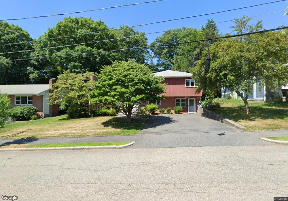
25 Andrew St Newton Highlands, MA 02461
Newton Highlands NeighborhoodEstimated Value: $1,469,000 - $1,654,000
3
Beds
3
Baths
1,648
Sq Ft
$937/Sq Ft
Est. Value
About This Home
This home is located at 25 Andrew St, Newton Highlands, MA 02461 and is currently estimated at $1,544,252, approximately $937 per square foot. 25 Andrew St is a home located in Middlesex County with nearby schools including Countryside Elementary School, Charles E Brown Middle School, and Newton South High School.
Ownership History
Date
Name
Owned For
Owner Type
Purchase Details
Closed on
Jun 20, 2023
Sold by
Webber James F and Gusman Dahlia C
Bought by
Horn Christopher T and Horn Astrid L
Current Estimated Value
Home Financials for this Owner
Home Financials are based on the most recent Mortgage that was taken out on this home.
Original Mortgage
$997,500
Outstanding Balance
$968,695
Interest Rate
6.39%
Mortgage Type
Purchase Money Mortgage
Estimated Equity
$575,557
Purchase Details
Closed on
Jun 1, 2020
Sold by
Gusman Jack
Bought by
Webber James F and Gusman Dahlia C
Home Financials for this Owner
Home Financials are based on the most recent Mortgage that was taken out on this home.
Original Mortgage
$1,148,400
Interest Rate
3.2%
Mortgage Type
FHA
Purchase Details
Closed on
May 1, 1996
Sold by
Wolfson Joseph A and Wolfson Evelyn A
Bought by
Webber James F and Gusman Dahlia C
Home Financials for this Owner
Home Financials are based on the most recent Mortgage that was taken out on this home.
Original Mortgage
$286,000
Interest Rate
7.82%
Mortgage Type
Purchase Money Mortgage
Create a Home Valuation Report for This Property
The Home Valuation Report is an in-depth analysis detailing your home's value as well as a comparison with similar homes in the area
Home Values in the Area
Average Home Value in this Area
Purchase History
| Date | Buyer | Sale Price | Title Company |
|---|---|---|---|
| Horn Christopher T | $1,330,000 | None Available | |
| Webber James F | -- | None Available | |
| Webber James F | $357,500 | -- | |
| Webber James F | $357,500 | -- |
Source: Public Records
Mortgage History
| Date | Status | Borrower | Loan Amount |
|---|---|---|---|
| Open | Horn Christopher T | $997,500 | |
| Previous Owner | Webber James F | $1,148,400 | |
| Previous Owner | Webber James F | $286,000 |
Source: Public Records
Tax History Compared to Growth
Tax History
| Year | Tax Paid | Tax Assessment Tax Assessment Total Assessment is a certain percentage of the fair market value that is determined by local assessors to be the total taxable value of land and additions on the property. | Land | Improvement |
|---|---|---|---|---|
| 2025 | $13,045 | $1,331,100 | $988,500 | $342,600 |
| 2024 | $12,613 | $1,292,300 | $959,700 | $332,600 |
| 2023 | $11,891 | $1,168,100 | $741,900 | $426,200 |
| 2022 | $11,378 | $1,081,600 | $686,900 | $394,700 |
| 2021 | $10,980 | $1,020,400 | $648,000 | $372,400 |
| 2020 | $10,653 | $1,020,400 | $648,000 | $372,400 |
| 2019 | $10,353 | $990,700 | $629,100 | $361,600 |
| 2018 | $9,786 | $904,400 | $568,800 | $335,600 |
| 2017 | $9,488 | $853,200 | $536,600 | $316,600 |
| 2016 | $9,074 | $797,400 | $501,500 | $295,900 |
| 2015 | $8,652 | $745,200 | $468,700 | $276,500 |
Source: Public Records
Map
Nearby Homes
- 116 Upland Ave
- 1308 Walnut St
- 1292 Walnut St
- 250 Woodcliff Rd
- 36 Cannon St
- 125 Oakdale Rd
- 1629 Centre St
- 1623-1625 Centre St
- 1597 Centre St Unit 1597
- 1597 Centre St
- 19 Selwyn Rd
- 3 Glenmore Terrace Unit 2
- 671 Boylston St
- 1151 Walnut St Unit 205
- 1151 Walnut St Unit 405
- 1151 Walnut St Unit 207
- 15 Buff Cir
- 628 Boylston St
- 51 Carl St
- 625 Boylston St