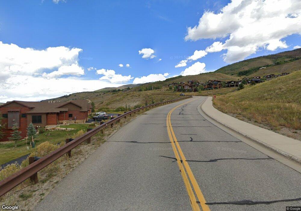
25 Angler Mountain Ranch Rd Silverthorne, CO 80498
Estimated Value: $2,623,000 - $3,390,000
5
Beds
6
Baths
3,308
Sq Ft
$908/Sq Ft
Est. Value
About This Home
This home is located at 25 Angler Mountain Ranch Rd, Silverthorne, CO 80498 and is currently estimated at $3,004,464, approximately $908 per square foot. 25 Angler Mountain Ranch Rd is a home with nearby schools including Silverthorne Elementary School, Summit Middle School, and Summit High School.
Ownership History
Date
Name
Owned For
Owner Type
Purchase Details
Closed on
Aug 12, 2024
Sold by
Bond Steven Dewayne and Bond Connie Janelle
Bought by
Bond Family Trust and Bond
Current Estimated Value
Purchase Details
Closed on
Mar 28, 2021
Sold by
Bond Steven Dewayne and Bond Connie Janelle
Bought by
Bond Steven Dewayne and Bond Connie Janelle
Home Financials for this Owner
Home Financials are based on the most recent Mortgage that was taken out on this home.
Original Mortgage
$713,997
Interest Rate
2.8%
Mortgage Type
New Conventional
Purchase Details
Closed on
Jul 24, 2017
Sold by
Angler Mountain Llc
Bought by
Bond Family Revocable Trust
Create a Home Valuation Report for This Property
The Home Valuation Report is an in-depth analysis detailing your home's value as well as a comparison with similar homes in the area
Home Values in the Area
Average Home Value in this Area
Purchase History
| Date | Buyer | Sale Price | Title Company |
|---|---|---|---|
| Bond Family Trust | -- | None Listed On Document | |
| Bond Steven Dewayne | -- | None Available | |
| Bond Family Revocable Trust | $310,000 | Stewart Title |
Source: Public Records
Mortgage History
| Date | Status | Borrower | Loan Amount |
|---|---|---|---|
| Previous Owner | Bond Steven Dewayne | $713,997 |
Source: Public Records
Tax History Compared to Growth
Tax History
| Year | Tax Paid | Tax Assessment Tax Assessment Total Assessment is a certain percentage of the fair market value that is determined by local assessors to be the total taxable value of land and additions on the property. | Land | Improvement |
|---|---|---|---|---|
| 2024 | $9,587 | $181,141 | -- | -- |
| 2023 | $9,587 | $177,456 | $0 | $0 |
| 2022 | $6,995 | $122,431 | $0 | $0 |
| 2021 | $7,056 | $125,954 | $0 | $0 |
| 2020 | $5,862 | $111,786 | $0 | $0 |
| 2019 | $5,782 | $111,786 | $0 | $0 |
| 2018 | $2,112 | $36,970 | $0 | $0 |
| 2017 | $3,769 | $59,008 | $0 | $0 |
| 2016 | $3,170 | $49,088 | $0 | $0 |
| 2015 | $1,174 | $18,624 | $0 | $0 |
Source: Public Records
Map
Nearby Homes
- 161 Angler Mountain Ranch Rd
- 70 Mayfly Dr
- 70 Mayfly Dr Unit 3
- 84 Mayfly Dr
- 35 Mayfly Dr
- 52 Buckskin Ln
- 65 Aerie Dr
- 85 Pheasant Tail Ln
- 2206 Hamilton Creek Rd
- 530 Lakeview Cir
- 28 Damselfly
- 468 Fly Line Dr
- 100 Mountain Vista Ln Unit 100
- 100 Mountain Vista Ln
- 110 N Badger Ct
- 113 Badger Ct
- 1070 Blue River Pkwy Unit 204
- 245 Tennis Ct
- 133 Woodchuck Ct
- 380 Riley Rd
- 57 Caddis Ln
- 83 Angler Mountain Ranch Rd
- 71 Caddis Ln
- 45 Caddis Ln
- 89 Caddis Ln
- 50 Caddis Ln
- 70 Caddis Ln
- 1350 Bald Eagle Rd
- 90 Caddis Ln
- 133 Angler Mountain Ranch Rd N
- 110 Caddis Ln
- 261 Stonefly Dr
- 254 Stonefly Dr
- 18 Mayfly Dr
- 1282 Bald Eagle Rd
- 245 Stonefly Dr
- 10 Stonefly Dr
- 234 Stonefly Dr
- 42 Mayfly Dr
- 1264 Bald Eagle Rd