Estimated Value: $431,000 - $451,911
3
Beds
3
Baths
1,900
Sq Ft
$234/Sq Ft
Est. Value
About This Home
This home is located at 25 Ashford Dr, Avon, CT 06001 and is currently estimated at $445,478, approximately $234 per square foot. 25 Ashford Dr is a home located in Hartford County with nearby schools including Thompson Brook School, Pine Grove School, and Avon Middle School.
Ownership History
Date
Name
Owned For
Owner Type
Purchase Details
Closed on
Jul 23, 2007
Sold by
Bilodeau Kenneth R
Bought by
Flatt Carter J
Current Estimated Value
Home Financials for this Owner
Home Financials are based on the most recent Mortgage that was taken out on this home.
Original Mortgage
$150,000
Outstanding Balance
$93,951
Interest Rate
6.54%
Estimated Equity
$351,527
Purchase Details
Closed on
Dec 29, 1998
Sold by
Valenti Joan M and Valenti Gary C
Bought by
Bilodeau Kenneth R and Bilodeau Ernestine S
Purchase Details
Closed on
Nov 21, 1989
Sold by
Avington 15 Dev Cor
Bought by
Valenti Joan
Create a Home Valuation Report for This Property
The Home Valuation Report is an in-depth analysis detailing your home's value as well as a comparison with similar homes in the area
Home Values in the Area
Average Home Value in this Area
Purchase History
| Date | Buyer | Sale Price | Title Company |
|---|---|---|---|
| Flatt Carter J | $288,500 | -- | |
| Flatt Carter J | $288,500 | -- | |
| Bilodeau Kenneth R | $175,000 | -- | |
| Bilodeau Kenneth R | $175,000 | -- | |
| Valenti Joan | $196,000 | -- |
Source: Public Records
Mortgage History
| Date | Status | Borrower | Loan Amount |
|---|---|---|---|
| Open | Valenti Joan | $50,000 | |
| Open | Valenti Joan | $150,000 | |
| Closed | Valenti Joan | $150,000 |
Source: Public Records
Tax History
| Year | Tax Paid | Tax Assessment Tax Assessment Total Assessment is a certain percentage of the fair market value that is determined by local assessors to be the total taxable value of land and additions on the property. | Land | Improvement |
|---|---|---|---|---|
| 2025 | $7,771 | $252,700 | $0 | $252,700 |
| 2024 | $7,495 | $252,700 | $0 | $252,700 |
| 2023 | $6,354 | $179,550 | $0 | $179,550 |
| 2022 | $6,214 | $179,550 | $0 | $179,550 |
| 2021 | $6,142 | $179,550 | $0 | $179,550 |
| 2020 | $5,907 | $179,550 | $0 | $179,550 |
| 2019 | $5,907 | $179,550 | $0 | $179,550 |
| 2018 | $5,629 | $179,550 | $0 | $179,550 |
| 2017 | $5,492 | $179,550 | $0 | $179,550 |
| 2016 | $5,300 | $179,550 | $0 | $179,550 |
| 2015 | $5,171 | $179,550 | $0 | $179,550 |
| 2014 | $5,085 | $179,550 | $0 | $179,550 |
Source: Public Records
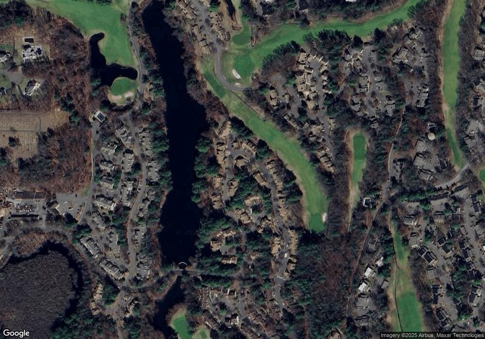
Map
Nearby Homes
- 15 Greenwich Ln Unit 15
- 9 Putnam Ln
- 4 Strathmore Ln Unit 4
- 28 Cottonwood Dr
- 14 Walnut Ln
- 7 Maple Ln
- 7 Chestnut Dr
- 39 Heritage Dr Unit 39
- 29 Crocus Ln
- 40 Homestead Ln
- 7 Hadley Dr
- 145 Hollister Dr
- 32 Canterbury Ln
- 373 Collinsville Rd
- 39 High Ridge Hollow
- 8919 Taine Mountain Rd
- 55 Depot Place
- 50 Northwoods Rd
- 4 Tanglewood Dr
- 189 W Avon Rd
- 26 Ashford Dr
- 33 Ashford Dr
- 24 Ashford Dr
- 24 Ashford Dr Unit 327-2
- 34 Ashford Dr
- 34 Ashford Dr Unit 34
- 34 Ashford Dr
- 34 Ashford Dr Unit 333-2
- 1 Waterford Place
- 1 Waterford Place Unit 1
- 35 Ashford Dr
- 23 Ashford Dr
- 27 Ashford Dr
- 2 Waterford Place
- 28 Ashford Dr
- 28 Ashford Dr Unit 28
- 29 Ashford Dr
- 31 Ashford Dr
- 31 Ashford Dr
- 3 Waterford Place
Your Personal Tour Guide
Ask me questions while you tour the home.