25 Beachside Dr Isle of Palms, SC 29451
Estimated Value: $1,650,147 - $2,245,000
3
Beds
2
Baths
1,322
Sq Ft
$1,432/Sq Ft
Est. Value
About This Home
This home is located at 25 Beachside Dr, Isle of Palms, SC 29451 and is currently estimated at $1,892,537, approximately $1,431 per square foot. 25 Beachside Dr is a home located in Charleston County with nearby schools including Sullivans Island Elementary School, Moultrie Middle School, and Wando High School.
Ownership History
Date
Name
Owned For
Owner Type
Purchase Details
Closed on
Jan 25, 2018
Sold by
Mubarak Family Partnership Llc
Bought by
Mubarak Freddy and Mubarak Diane S
Current Estimated Value
Purchase Details
Closed on
Aug 30, 2010
Sold by
Mubarak Diane S and Mubarak Kristina
Bought by
Mubarak Family Partnership Llc
Purchase Details
Closed on
Aug 10, 2007
Sold by
King Caroline and Webb Caroline K
Bought by
Omalley Peter F
Home Financials for this Owner
Home Financials are based on the most recent Mortgage that was taken out on this home.
Original Mortgage
$180,000
Interest Rate
6.65%
Mortgage Type
Purchase Money Mortgage
Create a Home Valuation Report for This Property
The Home Valuation Report is an in-depth analysis detailing your home's value as well as a comparison with similar homes in the area
Home Values in the Area
Average Home Value in this Area
Purchase History
| Date | Buyer | Sale Price | Title Company |
|---|---|---|---|
| Mubarak Freddy | -- | None Available | |
| Mubarak Family Partnership Llc | -- | -- | |
| Mubarak Diane S | -- | -- | |
| Omalley Peter F | $1,125,000 | Attorney |
Source: Public Records
Mortgage History
| Date | Status | Borrower | Loan Amount |
|---|---|---|---|
| Previous Owner | Omalley Peter F | $180,000 |
Source: Public Records
Tax History Compared to Growth
Tax History
| Year | Tax Paid | Tax Assessment Tax Assessment Total Assessment is a certain percentage of the fair market value that is determined by local assessors to be the total taxable value of land and additions on the property. | Land | Improvement |
|---|---|---|---|---|
| 2024 | $12,079 | $46,990 | $0 | $0 |
| 2023 | $10,925 | $46,990 | $0 | $0 |
| 2022 | $10,277 | $46,990 | $0 | $0 |
| 2021 | $10,161 | $46,990 | $0 | $0 |
| 2020 | $8,488 | $39,670 | $0 | $0 |
| 2019 | $2,126 | $23,000 | $0 | $0 |
| 2017 | $2,056 | $23,000 | $0 | $0 |
| 2016 | $1,930 | $23,000 | $0 | $0 |
| 2015 | $2,061 | $23,000 | $0 | $0 |
| 2014 | $1,892 | $0 | $0 | $0 |
| 2011 | -- | $0 | $0 | $0 |
Source: Public Records
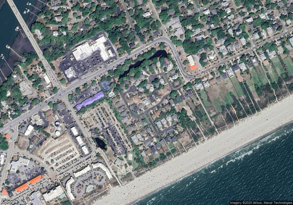
Map
Nearby Homes
- 11 Ocean Park Ct
- 6 Ocean Park Ct
- 1400 Ocean Blvd Unit 308 B
- 1300 Ocean Blvd Unit 241
- 1300 Ocean Blvd Unit 114
- 1300 Ocean Blvd Unit 145
- 1300 Ocean Blvd Unit 240
- 2201 Palm Blvd
- 1140 Ocean Blvd Unit 308
- 23 22nd Ave
- 1203/Lot 2 Oak Harbor Blvd
- 16 22nd Ave
- 1004 Ocean Blvd Unit 108
- 2306 Hartnett Blvd
- 23 24th Ave
- 2407 Cameron Blvd
- 2407 Cameron Blvd Unit A & B
- 913 Carolina Blvd
- 1103 Palm Blvd
- 23 26th Ave
- 23 Beachside Dr
- 27 Beachside Dr
- 3 Sandshell Ct
- 2 Sandshell Ct
- 21 Beachside Dr
- 29 Beachside Dr
- 4 Sandshell Ct
- 24 Beachside Dr
- 12 Ocean Park Ct
- 26 Beachside Dr
- 1 Sandshell Ct
- 22 Beachside Dr
- 28 Beachside Dr
- 13 Ocean Park Ct
- 15 Ocean Park Ct
- 20 Beachside Dr
- 5 Sandshell Ct
- 12 Beachside Dr
- 17 Sand Dune Ln
- 2000 Palm Blvd