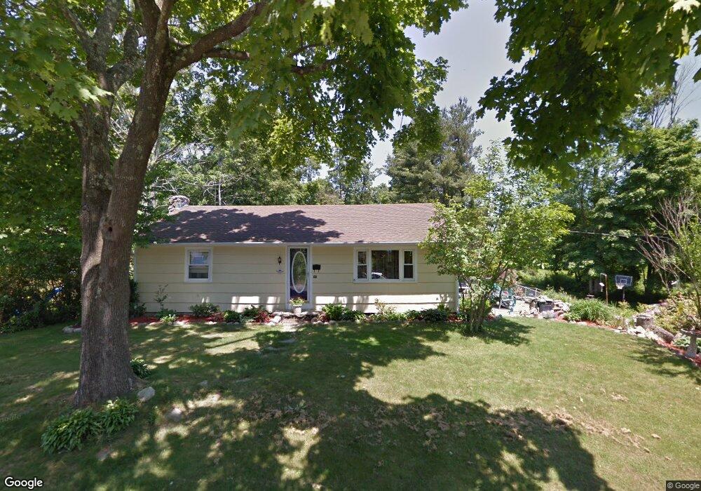
25 Block St Abington, MA 02351
Estimated Value: $495,000 - $614,000
3
Beds
2
Baths
1,192
Sq Ft
$469/Sq Ft
Est. Value
About This Home
This home is located at 25 Block St, Abington, MA 02351 and is currently estimated at $559,283, approximately $469 per square foot. 25 Block St is a home located in Plymouth County with nearby schools including Beaver Brook Elementary School, Abington Middle School, and Woodsdale School.
Ownership History
Date
Name
Owned For
Owner Type
Purchase Details
Closed on
Feb 4, 2022
Sold by
Mullen William M and Mullen Kirsten E
Bought by
Mullen Ft
Current Estimated Value
Purchase Details
Closed on
Apr 10, 2003
Sold by
Shannon John C and Shannon Dawn M
Bought by
Mullen William M
Home Financials for this Owner
Home Financials are based on the most recent Mortgage that was taken out on this home.
Original Mortgage
$259,350
Interest Rate
5.86%
Mortgage Type
Purchase Money Mortgage
Purchase Details
Closed on
Mar 31, 2000
Sold by
Jasper Michael R
Bought by
Shannon John C and Gray Dawn M
Purchase Details
Closed on
Apr 13, 1999
Sold by
Jasper Norma S and Farquhar Bruce W
Bought by
Jasper Michael R
Create a Home Valuation Report for This Property
The Home Valuation Report is an in-depth analysis detailing your home's value as well as a comparison with similar homes in the area
Home Values in the Area
Average Home Value in this Area
Purchase History
| Date | Buyer | Sale Price | Title Company |
|---|---|---|---|
| Mullen Ft | -- | None Available | |
| Mullen William M | $273,000 | -- | |
| Shannon John C | $153,000 | -- | |
| Jasper Michael R | $115,000 | -- |
Source: Public Records
Mortgage History
| Date | Status | Borrower | Loan Amount |
|---|---|---|---|
| Previous Owner | Jasper Michael R | $40,000 | |
| Previous Owner | Jasper Michael R | $12,475 | |
| Previous Owner | Jasper Michael R | $259,350 |
Source: Public Records
Tax History Compared to Growth
Tax History
| Year | Tax Paid | Tax Assessment Tax Assessment Total Assessment is a certain percentage of the fair market value that is determined by local assessors to be the total taxable value of land and additions on the property. | Land | Improvement |
|---|---|---|---|---|
| 2025 | $6,698 | $512,900 | $275,900 | $237,000 |
| 2024 | $6,519 | $487,200 | $250,900 | $236,300 |
| 2023 | $6,626 | $466,300 | $218,300 | $248,000 |
| 2022 | $5,962 | $391,700 | $158,400 | $233,300 |
| 2021 | $5,658 | $343,300 | $150,900 | $192,400 |
| 2020 | $5,542 | $326,000 | $139,400 | $186,600 |
| 2019 | $5,222 | $300,300 | $139,400 | $160,900 |
| 2018 | $5,273 | $295,900 | $139,400 | $156,500 |
| 2017 | $4,723 | $257,400 | $125,600 | $131,800 |
| 2016 | $4,327 | $241,300 | $119,600 | $121,700 |
| 2015 | $3,929 | $231,100 | $119,600 | $111,500 |
Source: Public Records
Map
Nearby Homes
- 10 Bank St
- 37 Rockland St
- 40 Bedford St
- 87 Summer St
- 257 Rockland St Unit 257
- 89 Andrew Ford Way
- 133 Andrew Ford Way
- 116 Hancock St
- 333 Groveland St
- 164 Hancock St
- 209 Hancock St
- 34 George h Gillespie Way
- 353 Plymouth St
- 676 Bedford St
- 1210 Washington St
- 332 Hancock St
- 193 Linwood St
- 0 Bedford St
- 1098 Bedford St
- 20 Cleverly St Unit B2
- 45 Block St
- 30 Block St
- 136 Bedford St
- 136 Bedford St Unit 1
- 154 Bedford St
- 20 Block St
- 57 Block St
- 68 Block St
- 166 Bedford St
- 65 Block St
- 128 Bedford St
- 7 Agawam Dr
- 35 Louds Ct
- 170 Bedford St Unit 105
- 170 Bedford St Unit 102
- 170 Bedford St Unit 101
- 40 Louds Ct
- 82 Block St
- 75 Block St
- 168 Bedford St