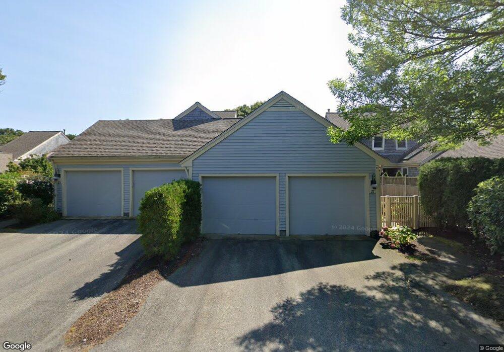
25 Blueberry Path Unit D Yarmouth Port, MA 02675
Yarmouth Port NeighborhoodEstimated Value: $709,000 - $775,000
2
Beds
4
Baths
2,209
Sq Ft
$337/Sq Ft
Est. Value
About This Home
This home is located at 25 Blueberry Path Unit D, Yarmouth Port, MA 02675 and is currently estimated at $743,775, approximately $336 per square foot. 25 Blueberry Path Unit D is a home located in Barnstable County with nearby schools including Dennis-Yarmouth Regional High School.
Ownership History
Date
Name
Owned For
Owner Type
Purchase Details
Closed on
Mar 23, 2021
Sold by
Collins Ret
Bought by
Filipowski Sheila
Current Estimated Value
Purchase Details
Closed on
Jun 3, 2011
Sold by
Joanna C Creney 2009 T
Bought by
Collins Ret
Purchase Details
Closed on
Dec 3, 2009
Sold by
Faucher Francis D and Faucher Maureen A
Bought by
Joanna C Creney T
Purchase Details
Closed on
Aug 31, 2000
Sold by
Kings Way Prop Rt
Bought by
Faucher Francis D
Home Financials for this Owner
Home Financials are based on the most recent Mortgage that was taken out on this home.
Original Mortgage
$105,000
Interest Rate
8.16%
Mortgage Type
Purchase Money Mortgage
Create a Home Valuation Report for This Property
The Home Valuation Report is an in-depth analysis detailing your home's value as well as a comparison with similar homes in the area
Home Values in the Area
Average Home Value in this Area
Purchase History
| Date | Buyer | Sale Price | Title Company |
|---|---|---|---|
| Filipowski Sheila | $505,000 | None Available | |
| Collins Ret | $389,500 | -- | |
| Joanna C Creney T | $415,000 | -- | |
| Faucher Francis D | $308,209 | -- |
Source: Public Records
Mortgage History
| Date | Status | Borrower | Loan Amount |
|---|---|---|---|
| Previous Owner | Faucher Francis D | $105,000 |
Source: Public Records
Tax History Compared to Growth
Tax History
| Year | Tax Paid | Tax Assessment Tax Assessment Total Assessment is a certain percentage of the fair market value that is determined by local assessors to be the total taxable value of land and additions on the property. | Land | Improvement |
|---|---|---|---|---|
| 2025 | $4,916 | $694,400 | $0 | $694,400 |
| 2024 | $4,939 | $669,200 | $0 | $669,200 |
| 2023 | $4,545 | $560,400 | $0 | $560,400 |
| 2022 | $4,446 | $484,300 | $0 | $484,300 |
| 2021 | $4,328 | $452,700 | $0 | $452,700 |
| 2020 | $4,370 | $437,000 | $0 | $437,000 |
| 2019 | $4,101 | $406,000 | $0 | $406,000 |
| 2018 | $3,859 | $375,000 | $0 | $375,000 |
| 2017 | $3,602 | $359,500 | $0 | $359,500 |
| 2016 | $3,433 | $344,000 | $0 | $344,000 |
| 2015 | $3,510 | $349,600 | $0 | $349,600 |
Source: Public Records
Map
Nearby Homes
- 2 Pine Grove
- 25 Oak Glen
- 25 Oak Glen Village Unit 25
- 7 Forest Gate Unit 7
- 30 W Woods Cir Unit 30
- 30 W Woods
- 43 Canterbury Rd
- 1 Barnacle Rd
- 17 Kates Path Unit A
- 86 Pompano Rd
- 34 Kates Path
- 34 Kates Path Unit 34
- 228 Kates Path
- 64 Kates Path
- 24 Minnetuxet Way
- 44 Stratford Ln
- 23 Dauphine Dr
- 50 John Hall Cartway
- 50 John Hall Cartway Unit 50
- 42 John Hall Cartway Unit 42
- 25 Blueberry Path
- 46 Blueberry Path
- 40 Blueberry Path
- 40 Blueberry Path Unit M
- 40 Blueberry Path
- 17 Blueberry Path
- 17 Blueberry Path Unit H
- 48 Blueberry Path
- 44 Blueberry Path
- 34 Blueberry Path
- 33 Blueberry Path
- 31 Blueberry Path
- 29 Blueberry Path
- 27 Blueberry Path
- 24 Blueberry Path
- 21 Blueberry Path
- 19 Blueberry Path
- 15 Blueberry Path
- 13 Blueberry Path
- 9 Blueberry Path