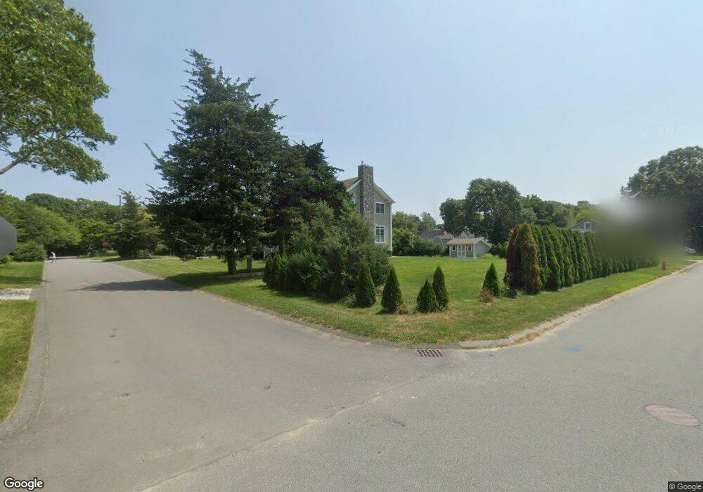
25 Bluepoint Rd Fairhaven, MA 02719
West Island NeighborhoodEstimated Value: $660,324 - $776,000
2
Beds
2
Baths
1,457
Sq Ft
$507/Sq Ft
Est. Value
About This Home
This home is located at 25 Bluepoint Rd, Fairhaven, MA 02719 and is currently estimated at $738,081, approximately $506 per square foot. 25 Bluepoint Rd is a home located in Bristol County with nearby schools including Fairhaven High School.
Ownership History
Date
Name
Owned For
Owner Type
Purchase Details
Closed on
Nov 13, 2023
Sold by
Connaughton Robert L and Connaughton Patricia L
Bought by
Connaughton Lt and Connaughton
Current Estimated Value
Purchase Details
Closed on
Apr 15, 2008
Sold by
Nancy Harold R and Nancy Sherman
Bought by
Lothian Katherine A and Lothian Richard H
Create a Home Valuation Report for This Property
The Home Valuation Report is an in-depth analysis detailing your home's value as well as a comparison with similar homes in the area
Home Values in the Area
Average Home Value in this Area
Purchase History
| Date | Buyer | Sale Price | Title Company |
|---|---|---|---|
| Connaughton Lt | -- | None Available | |
| Lothian Katherine A | -- | -- |
Source: Public Records
Tax History
| Year | Tax Paid | Tax Assessment Tax Assessment Total Assessment is a certain percentage of the fair market value that is determined by local assessors to be the total taxable value of land and additions on the property. | Land | Improvement |
|---|---|---|---|---|
| 2025 | $5,009 | $537,400 | $273,200 | $264,200 |
| 2024 | $4,734 | $512,900 | $273,200 | $239,700 |
| 2023 | $4,283 | $430,500 | $214,300 | $216,200 |
| 2022 | $4,041 | $395,400 | $195,200 | $200,200 |
| 2021 | $3,911 | $346,400 | $177,500 | $168,900 |
| 2020 | $3,786 | $342,300 | $177,500 | $164,800 |
| 2019 | $3,661 | $313,700 | $152,100 | $161,600 |
| 2018 | $3,494 | $297,400 | $144,700 | $152,700 |
| 2017 | $3,429 | $284,800 | $139,200 | $145,600 |
| 2016 | $3,360 | $275,900 | $136,500 | $139,400 |
Source: Public Records
Map
Nearby Homes
- 151 Balsam St
- 871 Sconticut Neck Rd
- 8 Sunset Beach Rd
- 28 Brant Beach Ave
- 5 Reservation Rd
- 0 Marina Dr Unit 72497908
- 0 Marina Dr Unit 72497877
- 20 Nantucket Dr
- 190 Sconticut Neck Rd
- 3.5 Golf St
- 15 Bayview Ave
- 15 Bay View Avenue ms
- 27 Bayview Ave
- 123 Sconticut Neck Rd
- 58 Bayview Ave
- 41 Starboard Way
- 0 Harbor Acres Ln - Lot B
- 0 Whalers Way
- 00 Huttleston Ave
- 3 Earle St
- 176-177 Bluepoint Rd
- 170 Dogwood St
- 20 Bluepoint Rd
- 166 Dogwood St
- 174 Dogwood St
- 171 Cottonwood St
- 167 Dogwood St
- 171 Dogwood St
- 29 Bluepoint Rd
- 15 Bluepoint Rd
- 165 Dogwood St
- 164 Dogwood St
- 169 Cottonwood St
- 164 Dogwood St Island W
- 178 Cottonwood St
- 179 Cottonwood St
- 163 Dogwood St
- 173 Dogwood St
- 158 Ebony St
- 172 Cottonwood St
Your Personal Tour Guide
Ask me questions while you tour the home.