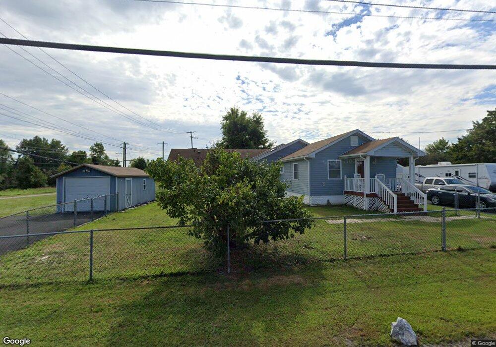
25 Bratton Rd Elkton, MD 21921
Estimated Value: $236,724
Studio
1
Bath
2,524
Sq Ft
$94/Sq Ft
Est. Value
About This Home
This home is located at 25 Bratton Rd, Elkton, MD 21921 and is currently estimated at $236,724, approximately $93 per square foot. 25 Bratton Rd is a home located in Cecil County with nearby schools including Gilpin Manor Elementary School, Elkton Middle School, and Elkton High School.
Ownership History
Date
Name
Owned For
Owner Type
Purchase Details
Closed on
Nov 22, 2002
Sold by
Lilly Vincent P and Lilly Twylla K
Bought by
Johnson Philip D and Johnson Heather Lynn
Current Estimated Value
Purchase Details
Closed on
Jul 9, 1991
Sold by
Eason Horace R
Bought by
Lilly Vincent P and Lilly Twylla K
Home Financials for this Owner
Home Financials are based on the most recent Mortgage that was taken out on this home.
Original Mortgage
$42,467
Interest Rate
9.62%
Purchase Details
Closed on
Jul 12, 1989
Sold by
Schneider Paul R
Bought by
Eason Horace R
Create a Home Valuation Report for This Property
The Home Valuation Report is an in-depth analysis detailing your home's value as well as a comparison with similar homes in the area
Home Values in the Area
Average Home Value in this Area
Purchase History
| Date | Buyer | Sale Price | Title Company |
|---|---|---|---|
| Johnson Philip D | $100,500 | -- | |
| Lilly Vincent P | $45,000 | -- | |
| Eason Horace R | $35,000 | -- |
Source: Public Records
Mortgage History
| Date | Status | Borrower | Loan Amount |
|---|---|---|---|
| Previous Owner | Lilly Vincent P | $42,467 |
Source: Public Records
Tax History
| Year | Tax Paid | Tax Assessment Tax Assessment Total Assessment is a certain percentage of the fair market value that is determined by local assessors to be the total taxable value of land and additions on the property. | Land | Improvement |
|---|---|---|---|---|
| 2025 | $2,783 | $160,867 | $0 | $0 |
| 2024 | $2,300 | $153,200 | $55,000 | $98,200 |
| 2023 | $1,939 | $151,667 | $0 | $0 |
| 2022 | $2,645 | $150,133 | $0 | $0 |
| 2021 | $2,592 | $148,600 | $55,000 | $93,600 |
| 2020 | $2,622 | $146,567 | $0 | $0 |
| 2019 | $2,586 | $144,533 | $0 | $0 |
| 2018 | $2,549 | $142,500 | $55,000 | $87,500 |
| 2017 | $2,531 | $141,500 | $0 | $0 |
| 2016 | $2,355 | $140,500 | $0 | $0 |
| 2015 | $2,355 | $139,500 | $0 | $0 |
| 2014 | $2,161 | $139,500 | $0 | $0 |
Source: Public Records
Map
Nearby Homes
- 217 W Main St
- 242 Mackall St
- 212 W Main St
- 304 Hollingsworth St
- 162 W Main St
- 122 Pheasant Dr
- 0 W Main St Unit MDCC2016174
- 102 Miller St
- 261 Douglas St
- Water Front Oldfield Point Rd
- 110 Delaware Ave
- 916 N Bridge St
- 97 Otter Point Rd
- 37 Jesse Boyd Cir
- 00 Singerly Rd
- Lots 5 & 6 Singerly Rd
- 294 Mike Dr
- 9 Joseph Gallaher St
- 110 Whitehall Rd
- 2324 Oldfield Point Rd
- 19 Bratton Rd
- 951 Elkton Blvd
- 5 Blue Ball Rd
- 101 Blue Ball Rd
- 212 Blue Ball Ave
- 249 W High St
- 202 Blue Ball Ave
- 112 Blue Ball Ave
- 317 W Main St
- 329 W Main St
- 315 W Main St
- 365 W Main St
- 365 W Main St
- 245 W High St
- 313 W Main St
- 359 W Main St
- 359 W Main St Unit 2
- 355 W Main St
- 241 W High St
- 361 W Main St
Your Personal Tour Guide
Ask me questions while you tour the home.