Estimated Value: $627,722
Studio
--
Bath
1,000
Sq Ft
$628/Sq Ft
Est. Value
About This Home
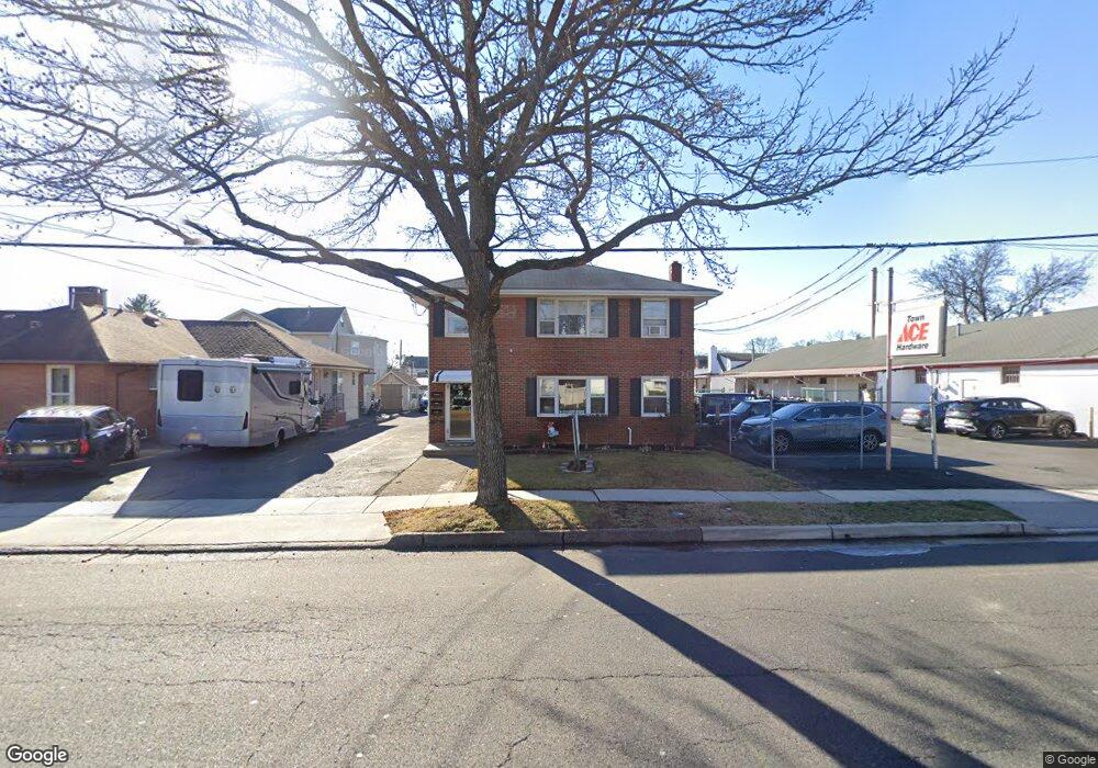
This home is located at 25 Broadway, Clark, NJ 07066 and is currently estimated at $627,722, approximately $627 per square foot. 25 Broadway is a home located in Union County with nearby schools including Valley Road Elementary School, Carl H. Kumpf Middle School, and Arthur L. Johnson High School.
Ownership History
Date
Name
Owned For
Owner Type
Purchase Details
Closed on
Aug 31, 2020
Sold by
Burkhardt Josephine R
Bought by
Document Destruction Llc
Current Estimated Value
Purchase Details
Closed on
May 5, 2020
Sold by
Document Destruction Llc
Bought by
Burkhardt Josephine R
Purchase Details
Closed on
Apr 14, 2017
Sold by
25Broadway Limited Liability Compay
Bought by
Document Destruction Llc
Purchase Details
Closed on
Apr 1, 2013
Sold by
Hurst Joan Gambino
Bought by
25 Broadway Llc
Home Financials for this Owner
Home Financials are based on the most recent Mortgage that was taken out on this home.
Original Mortgage
$257,500
Interest Rate
3.6%
Mortgage Type
Commercial
Purchase Details
Closed on
Mar 20, 1999
Sold by
Cabot Carl G and Gene Hurst O
Bought by
Hurst Joan Gambino
Create a Home Valuation Report for This Property
The Home Valuation Report is an in-depth analysis detailing your home's value as well as a comparison with similar homes in the area
Home Values in the Area
Average Home Value in this Area
Purchase History
| Date | Buyer | Sale Price | Title Company |
|---|---|---|---|
| Document Destruction Llc | -- | None Available | |
| Burkhardt Josephine R | -- | None Available | |
| Document Destruction Llc | $310,000 | Foundation Title Llc | |
| 25 Broadway Llc | $267,500 | Conestoga Title Insuran Co | |
| Hurst Joan Gambino | $75,000 | -- |
Source: Public Records
Mortgage History
| Date | Status | Borrower | Loan Amount |
|---|---|---|---|
| Previous Owner | 25 Broadway Llc | $257,500 |
Source: Public Records
Tax History
| Year | Tax Paid | Tax Assessment Tax Assessment Total Assessment is a certain percentage of the fair market value that is determined by local assessors to be the total taxable value of land and additions on the property. | Land | Improvement |
|---|---|---|---|---|
| 2025 | $8,805 | $397,700 | $225,000 | $172,700 |
| 2024 | $8,674 | $397,700 | $225,000 | $172,700 |
| 2023 | $8,674 | $397,700 | $225,000 | $172,700 |
| 2022 | $8,423 | $397,700 | $225,000 | $172,700 |
| 2021 | $9,423 | $106,000 | $25,300 | $80,700 |
| 2020 | $9,270 | $106,000 | $25,300 | $80,700 |
| 2019 | $9,176 | $106,000 | $25,300 | $80,700 |
| 2018 | $11,589 | $135,500 | $25,300 | $110,200 |
| 2017 | $11,404 | $135,500 | $25,300 | $110,200 |
| 2016 | $10,984 | $135,500 | $25,300 | $110,200 |
| 2015 | $10,873 | $135,500 | $25,300 | $110,200 |
| 2014 | $10,644 | $135,500 | $25,300 | $110,200 |
Source: Public Records
Map
Nearby Homes
- 52 Broadway
- 66 Lincoln Blvd
- 22 Washington St
- 44 Joseph St
- 1206 Westfield Ave
- 85 Fulton St
- 1472 Jefferson Ave
- 1044 Madison Hill Rd
- 157 Westfield Ave
- 1355 Jefferson Ave
- 275 Valley Rd
- 262 Valley Rd
- 205 West Ln
- 30 Brant Ave
- 1166 Jefferson Ave
- 814 Falesky St
- 712 Moses Dr
- 793 Garden St
- 707 Union St
- 45 Lexington Blvd
Your Personal Tour Guide
Ask me questions while you tour the home.