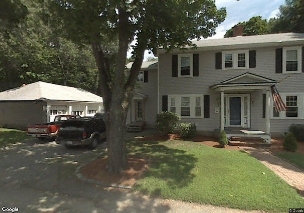
25 Broadway St Clinton, MA 01510
Estimated Value: $501,000 - $555,000
4
Beds
2
Baths
2,104
Sq Ft
$252/Sq Ft
Est. Value
About This Home
This home is located at 25 Broadway St, Clinton, MA 01510 and is currently estimated at $530,411, approximately $252 per square foot. 25 Broadway St is a home located in Worcester County with nearby schools including Clinton Elementary School, Clinton Senior High School, and Clinton Middle School.
Ownership History
Date
Name
Owned For
Owner Type
Purchase Details
Closed on
Jan 12, 2022
Sold by
Umass Mem Healthalliance
Bought by
Dzwilewski Joseph M and Carter Mary A
Current Estimated Value
Purchase Details
Closed on
Jun 7, 1994
Sold by
Szwilewski Joseph and Dzwilewski Risharda
Bought by
Dzwilewski Joseph
Create a Home Valuation Report for This Property
The Home Valuation Report is an in-depth analysis detailing your home's value as well as a comparison with similar homes in the area
Home Values in the Area
Average Home Value in this Area
Purchase History
We collect this data history from publicly available records. To have your information removed, we recommend requesting removal directly through your county’s website.
| Date | Buyer | Sale Price | Title Company |
|---|---|---|---|
| Dzwilewski Joseph M | -- | None Available | |
| Dzwilewski Joseph | $18,003 | -- |
Source: Public Records
Mortgage History
We collect this data history from publicly available records. To have your information removed, we recommend requesting removal directly through your county’s website.
| Date | Status | Borrower | Loan Amount |
|---|---|---|---|
| Previous Owner | Dzwilewski Joseph | $181,000 | |
| Previous Owner | Dzwilewski Joseph | $60,000 | |
| Previous Owner | Dzwilewski Joseph | $30,000 | |
| Previous Owner | Dzwilewski Joseph | $104,800 |
Source: Public Records
Tax History
| Year | Tax Paid | Tax Assessment Tax Assessment Total Assessment is a certain percentage of the fair market value that is determined by local assessors to be the total taxable value of land and additions on the property. | Land | Improvement |
|---|---|---|---|---|
| 2025 | $6,743 | $507,000 | $128,300 | $378,700 |
| 2024 | $6,688 | $509,000 | $128,300 | $380,700 |
| 2023 | $6,279 | $469,600 | $116,500 | $353,100 |
| 2022 | $6,128 | $411,000 | $103,900 | $307,100 |
| 2021 | $5,437 | $341,100 | $99,000 | $242,100 |
| 2020 | $5,284 | $341,100 | $99,000 | $242,100 |
| 2019 | $5,284 | $331,700 | $96,100 | $235,600 |
| 2018 | $5,260 | $309,800 | $96,100 | $213,700 |
| 2017 | $4,578 | $259,100 | $96,100 | $163,000 |
| 2016 | $4,537 | $262,700 | $96,100 | $166,600 |
| 2015 | $4,387 | $263,300 | $93,400 | $169,900 |
| 2014 | $4,252 | $263,300 | $93,400 | $169,900 |
Source: Public Records
Map
Nearby Homes
- 861 Main St
- 51 Rigby St
- 0 Parker Rd
- 97 Sterling St
- 719 Main St
- 55 Sterling St Unit 306
- 55 Sterling St Unit 314
- 55 Sterling St Unit 208
- 55 Sterling St Unit 305
- 57 Clark St
- 508 High St
- 1185 Main St Unit 4
- 59 S Meadow Rd
- 30 S Meadow Rd
- 65 Pearl St
- 216 Walnut St
- 289 Sterling Rd
- 6 Nelson St
- 49 Farm Land Ln
- 129 High St
- 14 Broadway St
- 45 Broadway St
- 243 Greeley St
- 10 Broadway St
- 235 Greeley St
- 227 Greeley St
- 245 Greeley St
- 249 Greeley St
- 228 Greeley St
- 242 Greeley St
- 2 Longedge Rd
- 234 Greeley St
- 222 Greeley St
- 250 Greeley St
- 9 Longedge Rd
- 206 Greeley St
- 277 Greeley St
- 277 Greeley St Unit 2
- 277 Greeley St Unit 1
- 4 Longedge Rd
Your Personal Tour Guide
Ask me questions while you tour the home.