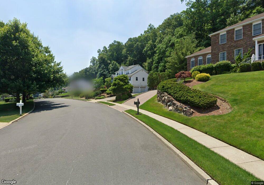
25 Brownstone Terrace Hawthorne, NJ 07506
Estimated Value: $868,113 - $965,000
--
Bed
--
Bath
3,132
Sq Ft
$296/Sq Ft
Est. Value
About This Home
This home is located at 25 Brownstone Terrace, Hawthorne, NJ 07506 and is currently estimated at $926,778, approximately $295 per square foot. 25 Brownstone Terrace is a home located in Passaic County with nearby schools including Hawthorne High School, St Anthony School, and Hawthorne Christian Academy.
Ownership History
Date
Name
Owned For
Owner Type
Purchase Details
Closed on
Nov 26, 2002
Sold by
Whang Ihn
Bought by
Vandenbroeck May
Current Estimated Value
Purchase Details
Closed on
Sep 15, 2000
Sold by
Broadhead Frank
Bought by
Whang Ihn Young and Chun Sun Young
Home Financials for this Owner
Home Financials are based on the most recent Mortgage that was taken out on this home.
Original Mortgage
$335,000
Interest Rate
7.89%
Mortgage Type
Stand Alone First
Purchase Details
Closed on
Nov 30, 1993
Sold by
Westwood Build
Bought by
Broadhead Frank and Broadhead Donna
Home Financials for this Owner
Home Financials are based on the most recent Mortgage that was taken out on this home.
Original Mortgage
$200,000
Interest Rate
7.22%
Create a Home Valuation Report for This Property
The Home Valuation Report is an in-depth analysis detailing your home's value as well as a comparison with similar homes in the area
Home Values in the Area
Average Home Value in this Area
Purchase History
| Date | Buyer | Sale Price | Title Company |
|---|---|---|---|
| Vandenbroeck May | $550,000 | -- | |
| Whang Ihn Young | $467,000 | -- | |
| Broadhead Frank | $300,000 | -- |
Source: Public Records
Mortgage History
| Date | Status | Borrower | Loan Amount |
|---|---|---|---|
| Previous Owner | Whang Ihn Young | $335,000 | |
| Previous Owner | Broadhead Frank | $200,000 |
Source: Public Records
Tax History Compared to Growth
Tax History
| Year | Tax Paid | Tax Assessment Tax Assessment Total Assessment is a certain percentage of the fair market value that is determined by local assessors to be the total taxable value of land and additions on the property. | Land | Improvement |
|---|---|---|---|---|
| 2025 | $19,076 | $627,100 | $197,100 | $430,000 |
| 2024 | $18,813 | $627,100 | $197,100 | $430,000 |
| 2022 | $18,499 | $627,100 | $197,100 | $430,000 |
| 2021 | $18,136 | $627,100 | $197,100 | $430,000 |
| 2020 | $17,879 | $627,100 | $197,100 | $430,000 |
| 2019 | $17,776 | $297,400 | $113,000 | $184,400 |
| 2018 | $17,389 | $297,400 | $113,000 | $184,400 |
| 2017 | $17,103 | $297,400 | $113,000 | $184,400 |
| 2016 | $16,866 | $297,400 | $113,000 | $184,400 |
| 2015 | $16,666 | $297,400 | $113,000 | $184,400 |
| 2014 | $15,982 | $297,400 | $113,000 | $184,400 |
Source: Public Records
Map
Nearby Homes
- 23 Brownstone Terrace
- 27 Brownstone Terrace
- 24 Brownstone Terrace
- 26 Brownstone Terrace
- 29 Brownstone Terrace
- 21 Brownstone Terrace
- 22 Brownstone Terrace
- 23 Metro Vista Dr
- 33 Metro Vista Dr
- 19 Brownstone Terrace
- 20 Brownstone Terrace
- 28 Metro Vista Dr
- 28 Metro Vista Dr Unit 1
- 80 Ridge Rd
- 30 Metro Vista Dr
- 21 Metro Vista Dr
- 14 Brockhuizen Ln
- 78 Ridge Rd
- 26 Metro Vista Dr
- 35 Metro Vista Dr