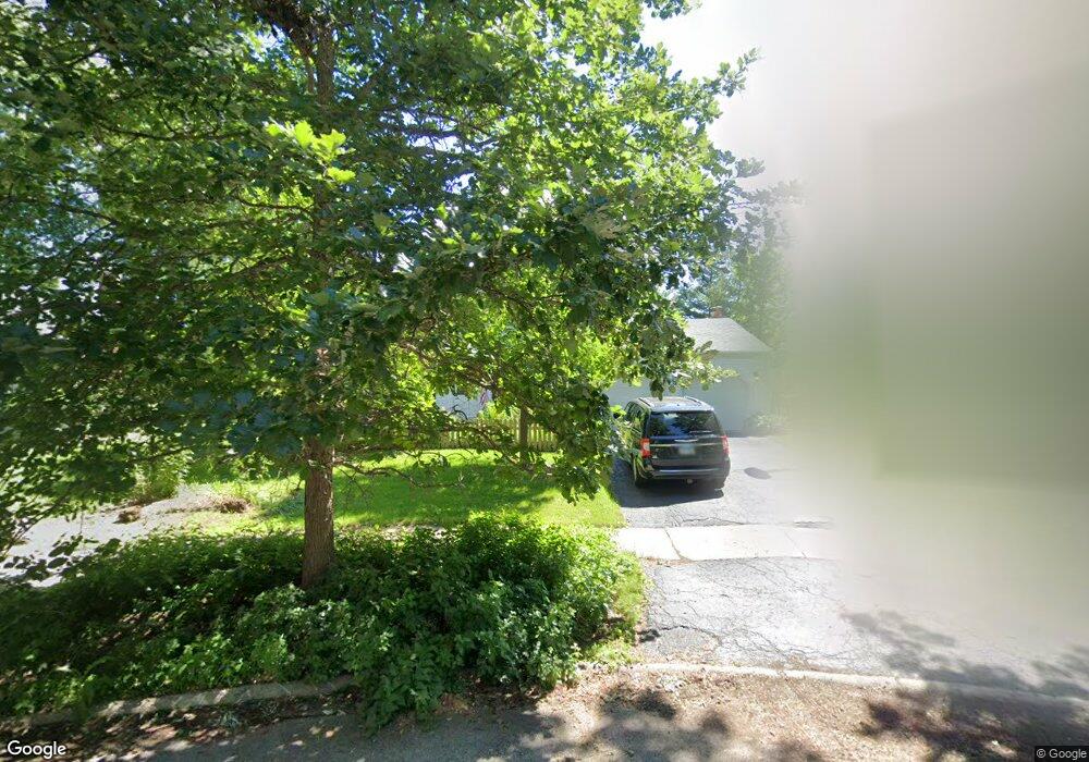
25 Bunting Ln Naperville, IL 60565
Maple Brook NeighborhoodEstimated Value: $584,576 - $730,000
About This Home
This home is located at 25 Bunting Ln, Naperville, IL 60565 and is currently estimated at $648,144, approximately $261 per square foot. 25 Bunting Ln is a home located in DuPage County with nearby schools including Maplebrook Elementary School, Lincoln Jr. High School, and Naperville Central High School.
Ownership History
We collect this data history from publicly available records. To have your information removed, we recommend requesting removal directly through your county’s website.
Purchase Details
Purchase Details
Home Financials for this Owner
Home Financials are based on the most recent Mortgage that was taken out on this home.Home Values in the Area
Average Home Value in this Area
Purchase History
We collect this data history from publicly available records. To have your information removed, we recommend requesting removal directly through your county’s website.
| Date | Buyer | Sale Price | Title Company |
|---|---|---|---|
| -- | -- | ||
| $190,500 | -- |
Mortgage History
We collect this data history from publicly available records. To have your information removed, we recommend requesting removal directly through your county’s website.
| Date | Status | Borrower | Loan Amount |
|---|---|---|---|
| Closed | $152,400 |
Tax History
We collect this data history from publicly available records. To have your information removed, we recommend requesting removal directly through your county’s website.
| Year | Tax Paid | Tax Assessment Tax Assessment Total Assessment is a certain percentage of the fair market value that is determined by local assessors to be the total taxable value of land and additions on the property. | Land | Improvement |
|---|---|---|---|---|
| 2024 | $8,337 | $152,084 | $66,860 | $85,224 |
| 2023 | $7,979 | $138,800 | $61,020 | $77,780 |
| 2022 | $7,372 | $132,190 | $58,110 | $74,080 |
| 2021 | $7,393 | $127,190 | $55,910 | $71,280 |
| 2020 | $7,374 | $124,900 | $54,900 | $70,000 |
| 2019 | $7,142 | $119,500 | $52,530 | $66,970 |
| 2018 | $7,281 | $116,590 | $51,250 | $65,340 |
| 2017 | $7,133 | $112,660 | $49,520 | $63,140 |
| 2016 | $6,988 | $108,590 | $47,730 | $60,860 |
| 2015 | $6,939 | $102,260 | $44,950 | $57,310 |
| 2014 | $6,802 | $97,390 | $42,810 | $54,580 |
| 2013 | $6,700 | $97,620 | $42,910 | $54,710 |
Map
- 29 Tupelo Ave
- 105 Thrush Ln
- 8S510 Oxford Ln
- 1520 Lark Ln
- 8S452 Bell Dr
- 205 Terrance Dr
- 162 Pier Ct
- 1159 Hobson Mill Dr
- 851 Heatherfield Cir
- 823 Heatherfield Cir
- 1641 Cove Ct Unit 4
- 1014 Kauai King Ct
- 1229 Atlas Ln
- 1449 Whitespire Ct Unit 5104
- 1458 Whitespire Ct Unit 4504
- 545 Harlowe Ln Unit 3202
- 1432 Terrance Dr Unit 3
- 1203 Hobson Oaks Dr
- 1218 Johnson Dr
- 1431 Terrance Dr
Ask me questions while you tour the home.