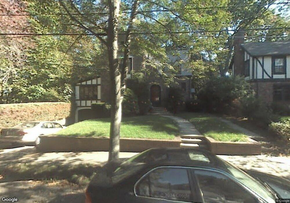
25 Burnside Rd Newton Highlands, MA 02461
Newton Highlands NeighborhoodEstimated Value: $1,407,531 - $1,705,000
3
Beds
3
Baths
1,847
Sq Ft
$853/Sq Ft
Est. Value
About This Home
This home is located at 25 Burnside Rd, Newton Highlands, MA 02461 and is currently estimated at $1,576,133, approximately $853 per square foot. 25 Burnside Rd is a home located in Middlesex County with nearby schools including Zervas Elementary School, Oak Hill Middle School, and Newton South High School.
Ownership History
Date
Name
Owned For
Owner Type
Purchase Details
Closed on
Nov 13, 1998
Sold by
25 Burnside Rd Rt and Sack Alan L
Bought by
Dobin Elliott S and Wiener Debra A
Current Estimated Value
Home Financials for this Owner
Home Financials are based on the most recent Mortgage that was taken out on this home.
Original Mortgage
$288,000
Outstanding Balance
$63,195
Interest Rate
6.65%
Mortgage Type
Purchase Money Mortgage
Estimated Equity
$1,512,938
Create a Home Valuation Report for This Property
The Home Valuation Report is an in-depth analysis detailing your home's value as well as a comparison with similar homes in the area
Home Values in the Area
Average Home Value in this Area
Purchase History
| Date | Buyer | Sale Price | Title Company |
|---|---|---|---|
| Dobin Elliott S | $485,000 | -- |
Source: Public Records
Mortgage History
| Date | Status | Borrower | Loan Amount |
|---|---|---|---|
| Open | Dobin Elliott S | $288,000 |
Source: Public Records
Tax History Compared to Growth
Tax History
| Year | Tax Paid | Tax Assessment Tax Assessment Total Assessment is a certain percentage of the fair market value that is determined by local assessors to be the total taxable value of land and additions on the property. | Land | Improvement |
|---|---|---|---|---|
| 2025 | $11,661 | $1,189,900 | $871,700 | $318,200 |
| 2024 | $11,275 | $1,155,200 | $846,300 | $308,900 |
| 2023 | $10,738 | $1,054,800 | $635,500 | $419,300 |
| 2022 | $10,275 | $976,700 | $588,400 | $388,300 |
| 2021 | $13,024 | $921,400 | $555,100 | $366,300 |
| 2020 | $9,619 | $921,400 | $555,100 | $366,300 |
| 2019 | $9,349 | $894,600 | $538,900 | $355,700 |
| 2018 | $8,921 | $824,500 | $488,200 | $336,300 |
| 2017 | $8,649 | $777,800 | $460,600 | $317,200 |
| 2016 | $8,272 | $726,900 | $430,500 | $296,400 |
| 2015 | $7,887 | $679,300 | $402,300 | $277,000 |
Source: Public Records
Map
Nearby Homes
- 35 Kingston Rd
- 2 Raeburn Terrace
- 35 Bradford Rd
- 200 Lincoln St
- 3 Glenmore Terrace Unit 2
- 1151 Walnut St Unit 205
- 1151 Walnut St Unit 405
- 1151 Walnut St Unit 207
- 1077 Boylston St
- 1629 Centre St
- 1623-1625 Centre St
- 28 Wilson Cir Unit 28
- 32 Wilson Cir Unit 32
- 26 Wilson Cir Unit 26
- 1597 Centre St Unit 1597
- 1597 Centre St
- 17 Circuit Ave Unit 2
- 956 Walnut St Unit 4
- 956 Walnut St Unit 7
- 956 Walnut St Unit 6
- 19 Burnside Rd
- 24 Burnside Rd
- 18 Burnside Rd
- 11 Burnside Rd
- 73 Wood End Rd
- 12 Burnside Rd
- 32 Cochituate Rd
- 77 Wood End Rd
- 28 Cochituate Rd
- 40 Cochituate Rd
- 5 Burnside Rd
- 8 Burnside Rd
- 3 Bowdoin St
- 46 Cochituate Rd
- 95 Wood End Rd
- 24 Cochituate Rd
- 1 Bowdoin St
- 25 Cochituate Rd
- 105 Wood End Rd
- 41 Cochituate Rd