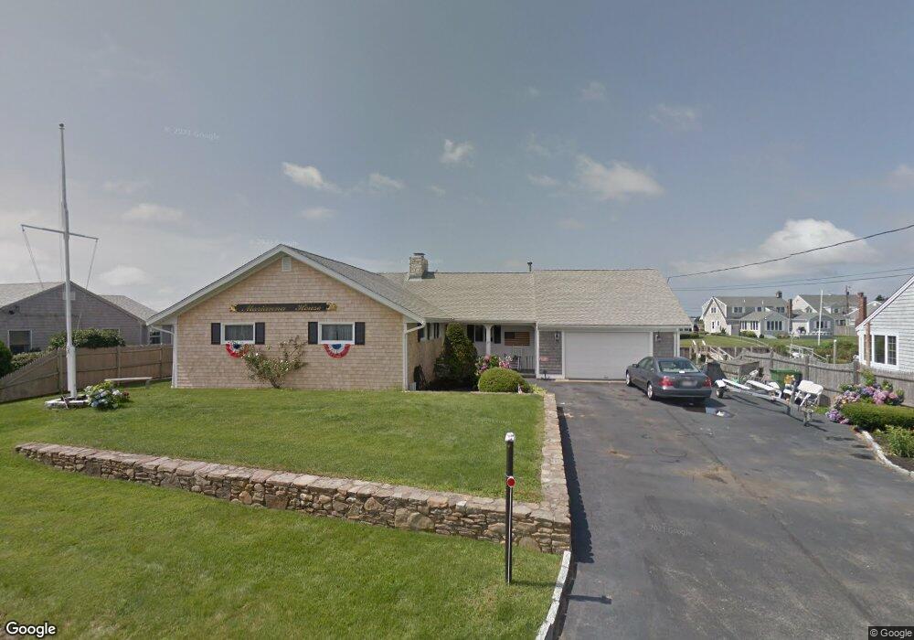
25 Captain Keavy Way West Dennis, MA 2670
West Dennis NeighborhoodEstimated Value: $1,731,000 - $1,985,000
3
Beds
2
Baths
1,862
Sq Ft
$999/Sq Ft
Est. Value
About This Home
This home is located at 25 Captain Keavy Way, West Dennis, MA 2670 and is currently estimated at $1,860,195, approximately $999 per square foot. 25 Captain Keavy Way is a home located in Barnstable County with nearby schools including Dennis-Yarmouth Regional High School and St. Pius X. School.
Ownership History
Date
Name
Owned For
Owner Type
Purchase Details
Closed on
Jun 10, 2015
Sold by
Dailey Elizabeth T
Bought by
Dailey Irt
Current Estimated Value
Purchase Details
Closed on
Dec 31, 1997
Sold by
Strickland Edith C
Bought by
Dailey Gerald M and Dailey Elizabeth T
Home Financials for this Owner
Home Financials are based on the most recent Mortgage that was taken out on this home.
Original Mortgage
$75,000
Interest Rate
7.11%
Mortgage Type
Purchase Money Mortgage
Create a Home Valuation Report for This Property
The Home Valuation Report is an in-depth analysis detailing your home's value as well as a comparison with similar homes in the area
Home Values in the Area
Average Home Value in this Area
Purchase History
| Date | Buyer | Sale Price | Title Company |
|---|---|---|---|
| Dailey Irt | -- | -- | |
| Dailey Gerald M | $306,500 | -- |
Source: Public Records
Mortgage History
| Date | Status | Borrower | Loan Amount |
|---|---|---|---|
| Previous Owner | Dailey Gerald M | $75,000 | |
| Previous Owner | Dailey Gerald M | $75,000 |
Source: Public Records
Tax History Compared to Growth
Tax History
| Year | Tax Paid | Tax Assessment Tax Assessment Total Assessment is a certain percentage of the fair market value that is determined by local assessors to be the total taxable value of land and additions on the property. | Land | Improvement |
|---|---|---|---|---|
| 2025 | $7,186 | $1,659,600 | $1,002,400 | $657,200 |
| 2024 | $6,981 | $1,590,300 | $964,000 | $626,300 |
| 2023 | $6,752 | $1,445,800 | $876,300 | $569,500 |
| 2022 | $5,374 | $959,700 | $541,300 | $418,400 |
| 2021 | $5,508 | $913,500 | $530,700 | $382,800 |
| 2020 | $5,358 | $878,300 | $530,700 | $347,600 |
| 2019 | $5,202 | $843,100 | $520,300 | $322,800 |
| 2018 | $5,572 | $857,400 | $567,500 | $289,900 |
| 2017 | $5,090 | $827,600 | $546,900 | $280,700 |
| 2016 | $5,401 | $827,100 | $593,300 | $233,800 |
| 2015 | $5,293 | $827,100 | $593,300 | $233,800 |
| 2014 | $5,168 | $813,900 | $593,300 | $220,600 |
Source: Public Records
Map
Nearby Homes
- 22 Beach View Rd
- 181 Pleasant St
- 251 Old Main St
- 14 Schoolhouse Ln
- 141 Main St Unit 4
- 141 Main St Unit 23
- 308 Old Main St
- 178 School St
- 209 Main St Unit 5
- 209 Main St Unit 6
- 209 Main St Unit 4
- 209 Main St Unit 3
- 209 Main St Unit 2
- 209 Main St Unit 1
- 7 Wood Rd
- 23 Doric Ave
- 45 Seth Ln
- 4 Braddock St
- 22 Powhatan Rd
- 9 Cedar St
- 21 Captain Keavy Way
- 21 Captain Keavy Way
- 29 Captain Keavy Way
- 26 Captain Keavy Way
- 17 Captain Keavy Way
- 30 Captain Keavy Way
- 22 Captain Keavy Way
- 28 Riverside Way
- 24 Riverside Way
- 18 Captain Keavy Way
- 20 Riverside Way
- 15 Captain Keavy Way
- 31 Riverside Way
- 18 Riverside Way
- 14 Captain Keavy Way
- 11 Captain Keavy Way
- 33 Riverside Way
- 14 Riverside Way
- 10 Captain Keavy Way
- 23 Riverside Way