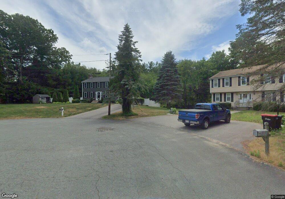
25 Carol Cir East Bridgewater, MA 02333
Estimated Value: $615,000 - $693,000
3
Beds
3
Baths
1,800
Sq Ft
$356/Sq Ft
Est. Value
About This Home
This home is located at 25 Carol Cir, East Bridgewater, MA 02333 and is currently estimated at $640,975, approximately $356 per square foot. 25 Carol Cir is a home located in Plymouth County with nearby schools including Central Elementary School, Gordon W Mitchell Middle School, and East Bridgewater Jr./Sr. High School.
Ownership History
Date
Name
Owned For
Owner Type
Purchase Details
Closed on
Dec 1, 2018
Sold by
Narciso Julianne T
Bought by
Julianne Narciso 2018 Ret
Current Estimated Value
Purchase Details
Closed on
Oct 28, 1994
Sold by
Crone James L and Crone Cheryl A
Bought by
Narciso Paul J and Narciso Julianne T
Create a Home Valuation Report for This Property
The Home Valuation Report is an in-depth analysis detailing your home's value as well as a comparison with similar homes in the area
Home Values in the Area
Average Home Value in this Area
Purchase History
| Date | Buyer | Sale Price | Title Company |
|---|---|---|---|
| Julianne Narciso 2018 Ret | -- | -- | |
| Narciso Julianne T | -- | -- | |
| Narciso Paul J | $164,500 | -- |
Source: Public Records
Mortgage History
| Date | Status | Borrower | Loan Amount |
|---|---|---|---|
| Previous Owner | Narciso Paul J | $260,000 | |
| Previous Owner | Narciso Paul J | $235,000 | |
| Previous Owner | Narciso Paul J | $100,000 |
Source: Public Records
Tax History Compared to Growth
Tax History
| Year | Tax Paid | Tax Assessment Tax Assessment Total Assessment is a certain percentage of the fair market value that is determined by local assessors to be the total taxable value of land and additions on the property. | Land | Improvement |
|---|---|---|---|---|
| 2025 | $7,132 | $521,700 | $188,800 | $332,900 |
| 2024 | $6,946 | $501,900 | $181,600 | $320,300 |
| 2023 | $6,794 | $470,200 | $181,600 | $288,600 |
| 2022 | $6,596 | $422,800 | $165,200 | $257,600 |
| 2021 | $6,414 | $376,200 | $158,700 | $217,500 |
| 2020 | $6,079 | $351,600 | $152,600 | $199,000 |
| 2019 | $5,937 | $338,100 | $145,800 | $192,300 |
| 2018 | $5,731 | $319,100 | $145,800 | $173,300 |
| 2017 | $5,569 | $304,300 | $139,100 | $165,200 |
| 2016 | $5,410 | $297,900 | $139,100 | $158,800 |
| 2015 | $5,218 | $293,800 | $138,100 | $155,700 |
| 2014 | $5,010 | $288,400 | $135,200 | $153,200 |
Source: Public Records
Map
Nearby Homes
- 71 Stonegate Dr
- 1993 Washington St
- 2045 Washington St
- 51 Stonegate Dr
- 94 Pond St
- 29 Hayes Rd
- 26 Meadowbrook Dr
- 587 Bridge St
- 23 Stone Meadow Dr
- 2 Edgewood Cir
- 67 Country Dr
- 24 High Pond Dr
- 49 Country Dr
- 22 Hudson St
- 114 Plain St
- 28 Brookbend Way E
- 182 Crystal Water Dr Unit 182
- 121 South St
- 217 Crystal Water Dr
- 78 Crystal Water Dr
- 15 Carol Circcle
- 15 Carol Cir
- 35 Carol Cir
- 32 Melissa Cir
- 20 Carol Cir
- 2025 Washington St
- 10 Carol Cir
- 33 Melissa Cir
- 1999 Washington St
- 2035 Washington St
- 22 Melissa Cir
- 75 Stonegate Dr
- 23 Melissa Cir
- 2030 Washington St
- 2000 Washington St
- 12 Melissa Cir
- 2020 Washington St
- 1971 Washington St
- 1988 Washington St
- 79 Stonegate Dr