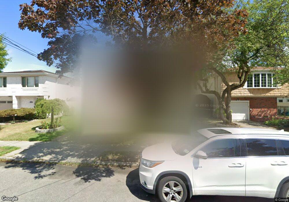
25 Carreau Ave Staten Island, NY 10314
Bulls Head NeighborhoodEstimated Value: $886,000 - $974,000
3
Beds
2
Baths
2,476
Sq Ft
$367/Sq Ft
Est. Value
About This Home
This home is located at 25 Carreau Ave, Staten Island, NY 10314 and is currently estimated at $908,582, approximately $366 per square foot. 25 Carreau Ave is a home located in Richmond County with nearby schools including P.S. 060 Alice Austen School, Is 72 Rocco Laurie, and Port Richmond High School.
Ownership History
Date
Name
Owned For
Owner Type
Purchase Details
Closed on
Dec 19, 2011
Sold by
Ttf Si Property Llc
Bought by
Pizzino Paula and Pizzino Joseph B
Current Estimated Value
Purchase Details
Closed on
Nov 8, 2010
Sold by
Delgaldo Judith
Bought by
Ttf Si Property Llc
Purchase Details
Closed on
Nov 26, 1996
Sold by
Delgaldo Carmine
Bought by
Delgaldo Carmine and Delgaldo Judith
Create a Home Valuation Report for This Property
The Home Valuation Report is an in-depth analysis detailing your home's value as well as a comparison with similar homes in the area
Home Values in the Area
Average Home Value in this Area
Purchase History
| Date | Buyer | Sale Price | Title Company |
|---|---|---|---|
| Pizzino Paula | $499,000 | None Available | |
| Ttf Si Property Llc | -- | None Available | |
| Delgaldo Carmine | -- | -- |
Source: Public Records
Tax History Compared to Growth
Tax History
| Year | Tax Paid | Tax Assessment Tax Assessment Total Assessment is a certain percentage of the fair market value that is determined by local assessors to be the total taxable value of land and additions on the property. | Land | Improvement |
|---|---|---|---|---|
| 2025 | $8,406 | $55,980 | $7,966 | $48,014 |
| 2024 | $5,776 | $59,700 | $7,109 | $52,591 |
| 2023 | $5,389 | $39,485 | $6,646 | $32,839 |
| 2022 | $7,867 | $49,020 | $10,140 | $38,880 |
| 2021 | $7,875 | $47,640 | $10,140 | $37,500 |
| 2020 | $7,757 | $46,440 | $10,140 | $36,300 |
| 2019 | $5,270 | $45,960 | $10,140 | $35,820 |
| 2018 | $6,410 | $32,904 | $9,042 | $23,862 |
| 2017 | $6,281 | $32,280 | $10,140 | $22,140 |
| 2016 | $5,924 | $31,185 | $9,742 | $21,443 |
| 2015 | $5,273 | $30,540 | $8,460 | $22,080 |
| 2014 | $5,273 | $29,065 | $8,262 | $20,803 |
Source: Public Records
Map
Nearby Homes
- 20 Toddy Ave
- 72 Toddy Ave
- 4 Gary Place
- 87 Amsterdam Ave
- 18 Signs Rd
- 96 Amsterdam Ave
- 94 Gary Place
- 117 Gary Place
- 6 Mulberry Ave
- 180 Dinsmore St Unit E
- 80 Freedom Ave
- 8 Rockville Ave
- 2054 Richmond Ave
- 149 Forest St
- 80 Dinsmore St Unit A
- 1775 Richmond Ave
- 57 Bowling Green Place
- 80 Mulberry Ave
- 3 Nostrand Ave
- 117 Rockville Ave