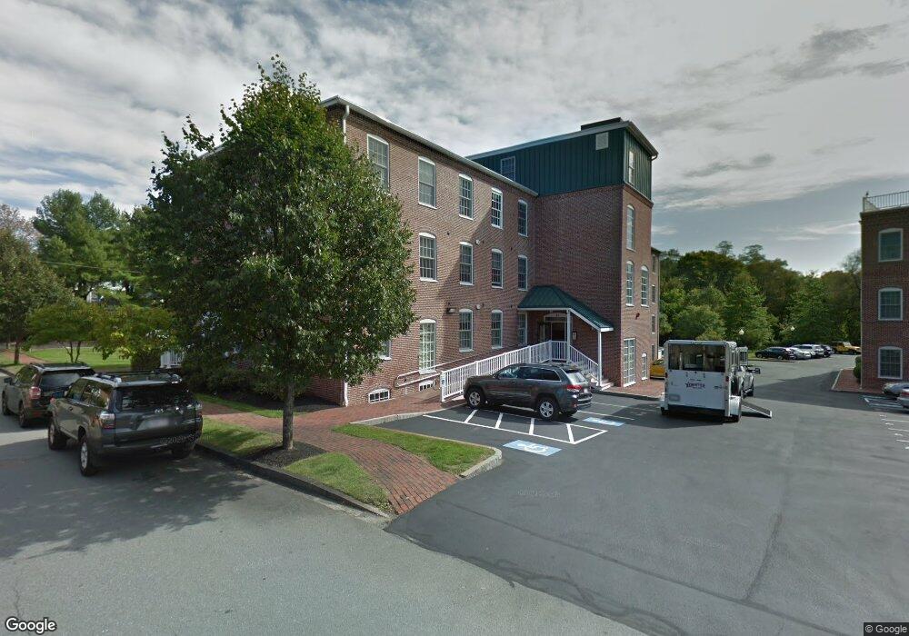
25 Cedar St Unit 9 Amesbury, MA 01913
Estimated Value: $413,617 - $472,000
1
Bed
1
Bath
1,004
Sq Ft
$442/Sq Ft
Est. Value
About This Home
This home is located at 25 Cedar St Unit 9, Amesbury, MA 01913 and is currently estimated at $443,404, approximately $441 per square foot. 25 Cedar St Unit 9 is a home located in Essex County with nearby schools including Amesbury High School and Amesbury Seventh-Day Adventist School.
Ownership History
Date
Name
Owned For
Owner Type
Purchase Details
Closed on
Nov 24, 2021
Sold by
Dibiaso Alfred J
Bought by
Alfred Joseph Dibiaso Lt
Current Estimated Value
Purchase Details
Closed on
Mar 16, 2007
Sold by
Clarks Pond Llc
Bought by
Dibiaso Alfred J
Home Financials for this Owner
Home Financials are based on the most recent Mortgage that was taken out on this home.
Original Mortgage
$199,920
Interest Rate
6.4%
Mortgage Type
Purchase Money Mortgage
Create a Home Valuation Report for This Property
The Home Valuation Report is an in-depth analysis detailing your home's value as well as a comparison with similar homes in the area
Home Values in the Area
Average Home Value in this Area
Purchase History
| Date | Buyer | Sale Price | Title Company |
|---|---|---|---|
| Alfred Joseph Dibiaso Lt | -- | None Available | |
| Dibiaso Alfred J | $249,900 | -- |
Source: Public Records
Mortgage History
| Date | Status | Borrower | Loan Amount |
|---|---|---|---|
| Previous Owner | Dibiaso Alfred J | $199,920 | |
| Previous Owner | Dibiaso Alfred J | $24,990 |
Source: Public Records
Tax History Compared to Growth
Tax History
| Year | Tax Paid | Tax Assessment Tax Assessment Total Assessment is a certain percentage of the fair market value that is determined by local assessors to be the total taxable value of land and additions on the property. | Land | Improvement |
|---|---|---|---|---|
| 2025 | $6,102 | $398,800 | $0 | $398,800 |
| 2024 | $5,663 | $362,100 | $0 | $362,100 |
| 2023 | $5,511 | $337,300 | $0 | $337,300 |
| 2022 | $5,395 | $305,000 | $0 | $305,000 |
| 2021 | $5,185 | $284,100 | $0 | $284,100 |
| 2020 | $4,625 | $269,200 | $0 | $269,200 |
| 2019 | $4,453 | $242,400 | $0 | $242,400 |
| 2018 | $4,417 | $232,600 | $0 | $232,600 |
| 2017 | $4,313 | $216,200 | $0 | $216,200 |
| 2016 | $4,287 | $211,400 | $0 | $211,400 |
| 2015 | $4,242 | $206,500 | $0 | $206,500 |
| 2014 | $3,986 | $190,100 | $0 | $190,100 |
Source: Public Records
Map
Nearby Homes
- 25 Cedar St Unit 4
- 25 Cedar St Unit 14
- 25 Cedar St Unit 7
- 25 Cedar St Unit 3
- 97 Elm St
- 101 Market St Unit B
- 101 Market St Unit A
- 103 Market St Unit A
- 105 Market St Unit B
- 5 Richs Ct Unit 3
- 3 Arlington St
- 4 Clark St
- 118 Elm St
- 13 High St Unit 2
- 37 Millyard Unit 204
- 22 Huntington Ave
- 48 Orchard St
- 161 Elm St Unit A
- 43 Aubin St Unit 1
- 93 Friend St
- 25 Cedar St Unit 15
- 25 Cedar St Unit 5
- 25 Cedar St Unit 2
- 25 Cedar St Unit 19
- 25 Cedar St Unit 18
- 25 Cedar St Unit 17
- 25 Cedar St Unit 16
- 25 Cedar St Unit 13
- 25 Cedar St Unit 12
- 25 Cedar St Unit 11
- 25 Cedar St Unit 10
- 25 Cedar St Unit 8
- 25 Cedar St Unit 1
- 25 Cedar St
- 15 Cedar St Unit 42
- 15 Cedar St Unit 41
- 15 Cedar St Unit 40
- 15 Cedar St Unit 39
- 15 Cedar St Unit 38
- 15 Cedar St Unit 36