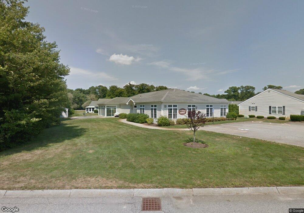
25 Cobb St Unit f102 Mansfield, MA 02048
Estimated Value: $698,000
2
Beds
1
Bath
965
Sq Ft
$723/Sq Ft
Est. Value
About This Home
This home is located at 25 Cobb St Unit f102, Mansfield, MA 02048 and is currently estimated at $698,000, approximately $723 per square foot. 25 Cobb St Unit f102 is a home located in Bristol County with nearby schools including Everett W. Robinson Elementary School, Jordan/Jackson Elementary School, and Harold L. Qualters Middle School.
Ownership History
Date
Name
Owned For
Owner Type
Purchase Details
Closed on
Mar 30, 2011
Sold by
Benchmark Gpt Mansfiel
Bought by
25 Cobb St Mansfield L
Current Estimated Value
Purchase Details
Closed on
Jan 3, 2007
Sold by
Gf Mansfield Sh Llc
Bought by
Benchmark Gpt Mansfie
Home Financials for this Owner
Home Financials are based on the most recent Mortgage that was taken out on this home.
Original Mortgage
$460,000
Interest Rate
6.24%
Mortgage Type
Purchase Money Mortgage
Purchase Details
Closed on
Dec 17, 2004
Sold by
Village At Willow Crsn
Bought by
Gf Mansfield Sh Llc
Purchase Details
Closed on
Apr 22, 1998
Sold by
Clemmey Karl D
Bought by
Village Willow Cros Lp
Create a Home Valuation Report for This Property
The Home Valuation Report is an in-depth analysis detailing your home's value as well as a comparison with similar homes in the area
Home Values in the Area
Average Home Value in this Area
Purchase History
| Date | Buyer | Sale Price | Title Company |
|---|---|---|---|
| 25 Cobb St Mansfield L | $21,557,550 | -- | |
| Benchmark Gpt Mansfie | $15,790,657 | -- | |
| Gf Mansfield Sh Llc | $16,101,934 | -- | |
| Village Willow Cros Lp | $1,600,000 | -- |
Source: Public Records
Mortgage History
| Date | Status | Borrower | Loan Amount |
|---|---|---|---|
| Previous Owner | Benchmark Gpt Mansfie | $460,000 |
Source: Public Records
Tax History Compared to Growth
Tax History
| Year | Tax Paid | Tax Assessment Tax Assessment Total Assessment is a certain percentage of the fair market value that is determined by local assessors to be the total taxable value of land and additions on the property. | Land | Improvement |
|---|---|---|---|---|
| 2025 | $462,900 | $35,148,100 | $6,600,000 | $28,548,100 |
| 2024 | $476,848 | $35,322,100 | $6,600,000 | $28,722,100 |
| 2023 | $497,688 | $35,322,100 | $6,600,000 | $28,722,100 |
| 2022 | $514,717 | $33,929,900 | $6,600,000 | $27,329,900 |
| 2021 | $283,200 | $18,437,500 | $2,360,000 | $16,077,500 |
| 2020 | $283,200 | $18,437,500 | $2,360,000 | $16,077,500 |
| 2019 | $280,619 | $18,437,500 | $2,360,000 | $16,077,500 |
| 2018 | $279,575 | $18,437,500 | $2,360,000 | $16,077,500 |
| 2017 | $276,005 | $18,375,800 | $2,360,000 | $16,015,800 |
| 2016 | $283,858 | $18,420,400 | $2,360,000 | $16,060,400 |
| 2015 | $285,516 | $18,420,400 | $2,360,000 | $16,060,400 |
Source: Public Records
Map
Nearby Homes
- 12 Wilson Place
- 21 East St Unit 1D
- 16 East St Unit 2
- 245 Willow St
- 38 Court St
- 72 Court St Unit B
- 72 Court St Unit A
- 28 Court St
- 28 Court St Unit 4
- 14 School St
- 76 Samoset Ave
- 442 Ware St
- 460 Ware St
- 241-243 N Main St
- 99 Pleasant St
- 150 Rumford Ave Unit 222
- 22 Pleasant St Unit B
- 22 Pleasant St Unit A
- 82 Brook St
- 34 Warren Ave