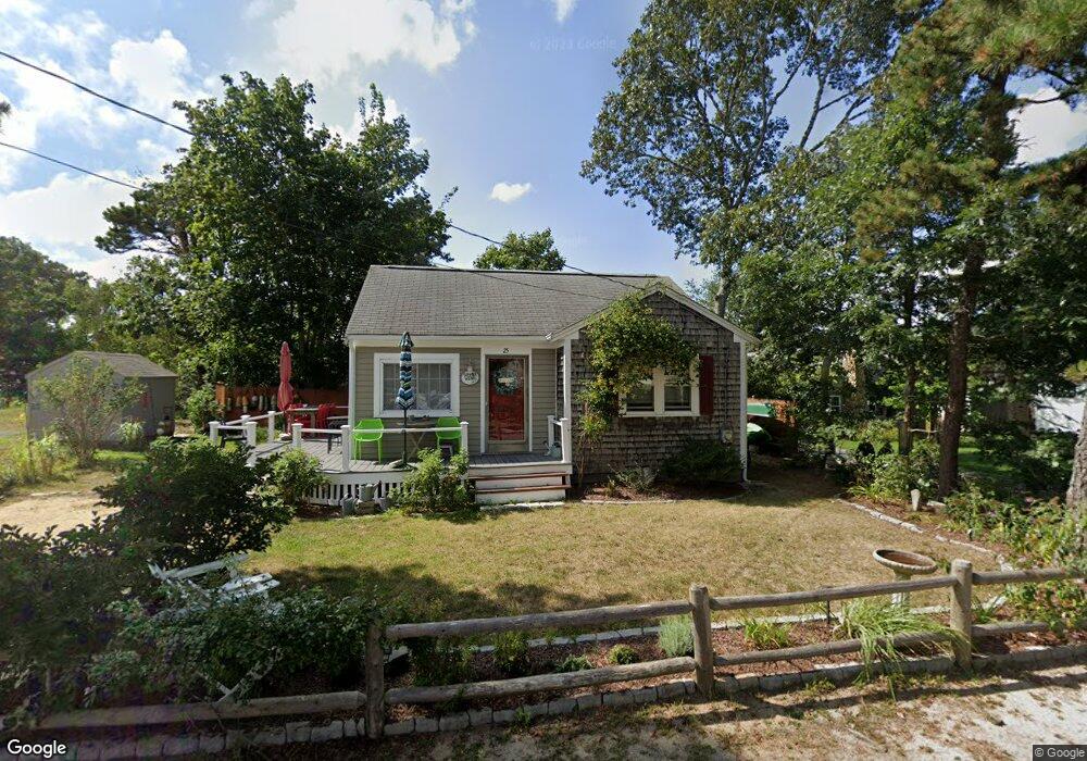
25 Cranberry Ln Dennis Port, MA 02639
Dennis Port NeighborhoodEstimated Value: $410,000 - $564,000
2
Beds
1
Bath
650
Sq Ft
$767/Sq Ft
Est. Value
About This Home
This home is located at 25 Cranberry Ln, Dennis Port, MA 02639 and is currently estimated at $498,691, approximately $767 per square foot. 25 Cranberry Ln is a home located in Barnstable County with nearby schools including Dennis-Yarmouth Regional High School and St. Pius X. School.
Ownership History
Date
Name
Owned For
Owner Type
Purchase Details
Closed on
Sep 12, 2003
Sold by
Corrigan Daniel O and Corrigan Marilyn L
Bought by
Villani Luciano M and Villani Michelle A
Current Estimated Value
Home Financials for this Owner
Home Financials are based on the most recent Mortgage that was taken out on this home.
Original Mortgage
$163,200
Outstanding Balance
$75,604
Interest Rate
6.22%
Mortgage Type
Purchase Money Mortgage
Estimated Equity
$423,087
Create a Home Valuation Report for This Property
The Home Valuation Report is an in-depth analysis detailing your home's value as well as a comparison with similar homes in the area
Home Values in the Area
Average Home Value in this Area
Purchase History
| Date | Buyer | Sale Price | Title Company |
|---|---|---|---|
| Villani Luciano M | $204,000 | -- |
Source: Public Records
Mortgage History
| Date | Status | Borrower | Loan Amount |
|---|---|---|---|
| Open | Villani Luciano M | $163,200 |
Source: Public Records
Tax History Compared to Growth
Tax History
| Year | Tax Paid | Tax Assessment Tax Assessment Total Assessment is a certain percentage of the fair market value that is determined by local assessors to be the total taxable value of land and additions on the property. | Land | Improvement |
|---|---|---|---|---|
| 2025 | $1,651 | $381,200 | $195,400 | $185,800 |
| 2024 | $1,540 | $350,900 | $188,000 | $162,900 |
| 2023 | $1,502 | $321,700 | $170,900 | $150,800 |
| 2022 | $1,496 | $267,100 | $153,900 | $113,200 |
| 2021 | $2,757 | $264,200 | $172,500 | $91,700 |
| 2020 | $1,427 | $234,000 | $150,900 | $83,100 |
| 2019 | $2,577 | $221,500 | $147,900 | $73,600 |
| 2018 | $1,276 | $201,300 | $134,500 | $66,800 |
| 2017 | $1,165 | $189,400 | $124,800 | $64,600 |
| 2016 | $1,230 | $188,300 | $134,400 | $53,900 |
| 2015 | $1,205 | $188,300 | $134,400 | $53,900 |
| 2014 | $1,074 | $169,100 | $115,200 | $53,900 |
Source: Public Records
Map
Nearby Homes
- 31 Easy St
- 22 Wixon Rd
- 22 Ferncliff Rd
- 37 Beach Hills Rd
- 37-A Beach Hills Rd
- 19 Standish Way
- 72 Bassett Ln
- 262 Old Wharf Rd Unit 67
- 262 Old Wharf Rd Unit 5
- 262 Old Wharf Rd Unit 5
- 262 Old Wharf Rd Unit 20
- 262 Old Wharf Rd Unit 87
- 80 Michaels Ave
- 102 Sea St
- 241 Old Wharf Rd Unit 82
- 241 Old Wharf Rd Unit 127
- 241 Old Wharf Rd Unit 90
- 4 Coffey Ln
- 21 Cranberry Ln
- 27 Cranberry Ln
- 24 Cranberry Ln
- 20 Cranberry Ln
- 31 Cranberry Ln
- 30 Holiday Ln
- 26 Cranberry Ln
- 18 Cranberry Ln
- 24 Holiday Ln
- 17 Cranberry Ln
- 30 Cranberry Ln
- 34 Holiday Ln
- 33 Cranberry Ln
- 14 Cranberry Ln
- 33 Holiday Ln
- 36 Holiday Ln
- 20 Holiday Ln
- 32 Cranberry Ln
- 39 Holiday Ln
- 0 Katherine Rd