25 Crown Point Rd Sudbury, MA 01776
Estimated Value: $1,187,531 - $1,385,000
4
Beds
3
Baths
3,271
Sq Ft
$397/Sq Ft
Est. Value
About This Home
This home is located at 25 Crown Point Rd, Sudbury, MA 01776 and is currently estimated at $1,298,383, approximately $396 per square foot. 25 Crown Point Rd is a home located in Middlesex County with nearby schools including General John Nixon Elementary School, Ephraim Curtis Middle School, and Lincoln-Sudbury Regional High School.
Ownership History
Date
Name
Owned For
Owner Type
Purchase Details
Closed on
Jan 24, 2013
Sold by
Adams Douglas P and Adams Elizabeth A
Bought by
25 Crown Point Road Rt and Adams
Current Estimated Value
Purchase Details
Closed on
Jun 16, 2008
Sold by
Sabet Bijan and Sabet Lauren
Bought by
Adams Douglas P and Adams Elizabeth A
Home Financials for this Owner
Home Financials are based on the most recent Mortgage that was taken out on this home.
Original Mortgage
$417,000
Interest Rate
6.13%
Mortgage Type
Purchase Money Mortgage
Purchase Details
Closed on
Mar 19, 2001
Sold by
Johnson Alan W
Bought by
Sabet Bijan and Sabet Lauren R
Create a Home Valuation Report for This Property
The Home Valuation Report is an in-depth analysis detailing your home's value as well as a comparison with similar homes in the area
Home Values in the Area
Average Home Value in this Area
Purchase History
| Date | Buyer | Sale Price | Title Company |
|---|---|---|---|
| 25 Crown Point Road Rt | -- | -- | |
| 25 Crown Point Road Rt | -- | -- | |
| Adams Douglas P | $699,000 | -- | |
| Adams Douglas P | $699,000 | -- | |
| Sabet Bijan | $585,000 | -- |
Source: Public Records
Mortgage History
| Date | Status | Borrower | Loan Amount |
|---|---|---|---|
| Previous Owner | Sabet Bijan | $412,000 | |
| Previous Owner | Adams Douglas P | $417,000 |
Source: Public Records
Tax History Compared to Growth
Tax History
| Year | Tax Paid | Tax Assessment Tax Assessment Total Assessment is a certain percentage of the fair market value that is determined by local assessors to be the total taxable value of land and additions on the property. | Land | Improvement |
|---|---|---|---|---|
| 2025 | $15,881 | $1,084,800 | $546,500 | $538,300 |
| 2024 | $15,313 | $1,048,100 | $530,500 | $517,600 |
| 2023 | $15,409 | $977,100 | $473,700 | $503,400 |
| 2022 | $15,106 | $836,900 | $434,500 | $402,400 |
| 2021 | $14,450 | $767,400 | $434,500 | $332,900 |
| 2020 | $14,063 | $762,200 | $434,500 | $327,700 |
| 2019 | $13,651 | $762,200 | $434,500 | $327,700 |
| 2018 | $13,397 | $747,200 | $462,100 | $285,100 |
| 2017 | $12,870 | $725,500 | $457,700 | $267,800 |
| 2016 | $12,394 | $696,300 | $440,100 | $256,200 |
| 2015 | $12,133 | $689,400 | $436,100 | $253,300 |
| 2014 | $12,118 | $672,100 | $424,500 | $247,600 |
Source: Public Records
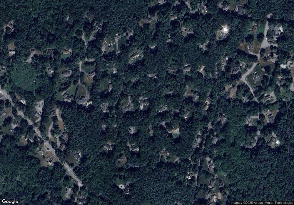
Map
Nearby Homes
- 55 Widow Rites Ln
- 45 Widow Rites Ln
- 63 Canterbury Dr
- 12 Camperdown Ln
- 24 Goodnow Rd
- 36 Old Forge Ln
- 54 Phillips Rd
- 4 Elderberry Cir
- 47 Fairbank Rd
- 5 Taintor Dr
- 427 Concord Rd
- 166 Parker St Unit 4
- 14 Frost Ln
- 270 Old Lancaster Rd
- 11 Great Lake Dr
- 57 Longfellow Rd
- 14 Tanbark Rd
- 21 Summer St
- 7 Saddle Ridge Rd
- 42 Dakin Rd
- 33 Crown Point Rd
- 11 Griffin Ln
- 19 Crown Point Rd
- 12 Pendleton Rd
- 28 Pendleton Rd
- 15 Griffin Ln
- 24 Crown Point Rd
- 15 Pendleton Rd
- 10 Griffin Ln
- 21 Pendleton Rd
- 34 Pendleton Rd
- 18 Crown Point Rd
- 14 Griffin Ln
- 56 Marlboro Rd
- 27 Pendleton Rd
- 6 Griffin Ln
- 62 Marlboro Rd
- 52 Marlboro Rd
- 41 Willis Rd
- 10 Crown Point Rd