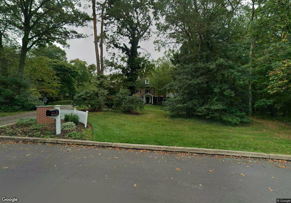
25 Deer Path Rd Doylestown, PA 18901
Estimated Value: $1,023,080 - $1,172,000
5
Beds
5
Baths
3,773
Sq Ft
$285/Sq Ft
Est. Value
About This Home
This home is located at 25 Deer Path Rd, Doylestown, PA 18901 and is currently estimated at $1,074,520, approximately $284 per square foot. 25 Deer Path Rd is a home located in Bucks County with nearby schools including Kutz Elementary School, Lenape Middle School, and Central Bucks High School-West.
Ownership History
Date
Name
Owned For
Owner Type
Purchase Details
Closed on
Aug 12, 1998
Sold by
Mitchell Dean A and Mitchell Kathryn M
Bought by
Mooradd Michael G and Mooradd Theresa H
Current Estimated Value
Home Financials for this Owner
Home Financials are based on the most recent Mortgage that was taken out on this home.
Original Mortgage
$382,500
Outstanding Balance
$79,658
Interest Rate
6.9%
Estimated Equity
$994,862
Purchase Details
Closed on
Apr 15, 1996
Sold by
Mlynarski Waldemar and Mlynarski Janis K
Bought by
Mitchell Dean A and Mitchell Kathryn M
Home Financials for this Owner
Home Financials are based on the most recent Mortgage that was taken out on this home.
Original Mortgage
$80,000
Interest Rate
8.08%
Create a Home Valuation Report for This Property
The Home Valuation Report is an in-depth analysis detailing your home's value as well as a comparison with similar homes in the area
Home Values in the Area
Average Home Value in this Area
Purchase History
| Date | Buyer | Sale Price | Title Company |
|---|---|---|---|
| Mooradd Michael G | $425,000 | -- | |
| Mitchell Dean A | $380,000 | -- |
Source: Public Records
Mortgage History
| Date | Status | Borrower | Loan Amount |
|---|---|---|---|
| Open | Mooradd Michael G | $382,500 | |
| Previous Owner | Mitchell Dean A | $80,000 |
Source: Public Records
Tax History
| Year | Tax Paid | Tax Assessment Tax Assessment Total Assessment is a certain percentage of the fair market value that is determined by local assessors to be the total taxable value of land and additions on the property. | Land | Improvement |
|---|---|---|---|---|
| 2025 | $11,871 | $67,080 | $12,480 | $54,600 |
| 2024 | $11,871 | $67,080 | $12,480 | $54,600 |
| 2023 | $11,319 | $67,080 | $12,480 | $54,600 |
| 2022 | $11,193 | $67,080 | $12,480 | $54,600 |
| 2021 | $10,963 | $67,080 | $12,480 | $54,600 |
| 2020 | $12,168 | $74,800 | $12,480 | $62,320 |
| 2019 | $12,037 | $74,800 | $12,480 | $62,320 |
| 2018 | $12,000 | $74,800 | $12,480 | $62,320 |
| 2017 | $11,906 | $74,800 | $12,480 | $62,320 |
| 2016 | $11,831 | $74,800 | $12,480 | $62,320 |
| 2015 | -- | $74,800 | $12,480 | $62,320 |
| 2014 | -- | $74,800 | $12,480 | $62,320 |
Source: Public Records
Map
Nearby Homes
- 117 Windover Ln
- 34 Houk Rd
- 45 Springs Dr
- 000 Cherry Ln
- 3775 Buckingham Dr
- 3795 Route 202
- 2980 Yorkshire Rd
- 150 Watercrest Dr
- 223 Cherry Ln
- 152 Watercrest Dr
- 3889 Robin Rd
- 607 S Chubb Dr
- 5 Belmont Square
- 106 Saddle Dr
- 110 E Ashland St
- 236 Green St
- 3660 Buttonwood Dr
- 146 E Court St
- 69 E Oakland Ave
- 4245 Mechanicsville Rd
Your Personal Tour Guide
Ask me questions while you tour the home.