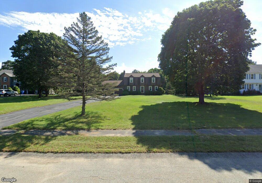
25 Deer Run Rd Wrentham, MA 02093
Estimated Value: $753,870 - $884,000
4
Beds
4
Baths
2,312
Sq Ft
$353/Sq Ft
Est. Value
About This Home
This home is located at 25 Deer Run Rd, Wrentham, MA 02093 and is currently estimated at $816,218, approximately $353 per square foot. 25 Deer Run Rd is a home located in Norfolk County with nearby schools including Delaney Elementary School and Charles E Roderick.
Ownership History
Date
Name
Owned For
Owner Type
Purchase Details
Closed on
Oct 31, 1986
Bought by
Hayes Thomas G and Lohnes-Hayes Susan G
Current Estimated Value
Create a Home Valuation Report for This Property
The Home Valuation Report is an in-depth analysis detailing your home's value as well as a comparison with similar homes in the area
Purchase History
| Date | Buyer | Sale Price | Title Company |
|---|---|---|---|
| Hayes Thomas G | -- | -- |
Source: Public Records
Mortgage History
| Date | Status | Borrower | Loan Amount |
|---|---|---|---|
| Open | Hayes Thomas G | $25,000 | |
| Closed | Hayes Thomas G | $141,000 | |
| Closed | Hayes Thomas G | $142,000 |
Source: Public Records
Tax History
| Year | Tax Paid | Tax Assessment Tax Assessment Total Assessment is a certain percentage of the fair market value that is determined by local assessors to be the total taxable value of land and additions on the property. | Land | Improvement |
|---|---|---|---|---|
| 2025 | $7,692 | $663,700 | $297,900 | $365,800 |
| 2024 | $7,435 | $619,600 | $297,900 | $321,700 |
| 2023 | $7,476 | $592,400 | $270,900 | $321,500 |
| 2022 | $7,374 | $539,400 | $252,600 | $286,800 |
| 2021 | $7,069 | $502,400 | $220,500 | $281,900 |
| 2020 | $7,021 | $492,700 | $196,100 | $296,600 |
| 2019 | $6,957 | $492,700 | $196,100 | $296,600 |
| 2018 | $6,287 | $441,500 | $196,200 | $245,300 |
| 2017 | $6,146 | $431,300 | $192,400 | $238,900 |
| 2016 | $5,920 | $414,600 | $186,800 | $227,800 |
| 2015 | $5,809 | $387,800 | $179,600 | $208,200 |
| 2014 | $5,717 | $373,400 | $172,800 | $200,600 |
Source: Public Records
Map
Nearby Homes
- 11 Earle Stewart Ln
- 12 Earle Stewart Ln
- Lot 1 - Blueberry 2 Car Plan at King Philip Estates
- Lot 8 - Blueberry 2 Car Plan at King Philip Estates
- Lot 5 - Hughes 2 car Plan at King Philip Estates
- Lot 6 - Blueberry 3 Car Plan at King Philip Estates
- 10 Earle Stewart Ln Unit Lot 5
- Lot 2 - Camden 2 Car Plan at King Philip Estates
- Lot 7 - Cedar Plan at King Philip Estates
- Lot 4 - Hemingway 2 Car Plan at King Philip Estates
- 14 Earle Stewart Ln
- Lot 3 - Blueberry 2 Car Plan at King Philip Estates
- 10 Nature View Dr
- 15 Nature View Dr
- 319 Taunton St
- 500 Franklin St
- 155 Clark Rd Unit 155
- 287 Park St
- 50 Reed Fulton Ave Unit Lot 61
- 246 Forest Grove Ave
- 15 Deer Run Rd
- 35 Deer Run Rd
- 45 Deer Run Rd
- 300 South St
- 20 Deer Run Rd
- 324 South St
- 324 South St Unit B
- 324 South St Unit 324
- 322 South St Unit A
- 322 South St
- 322 South St Unit 322
- 322 South St Unit 1
- 31 Creek St
- 30 Deer Run Rd
- 35 Creek St
- 332 South St
- 40 Deer Run Rd
- 29 Creek St
- 55 Deer Run Rd
- 10 Deer Run Rd
Your Personal Tour Guide
Ask me questions while you tour the home.