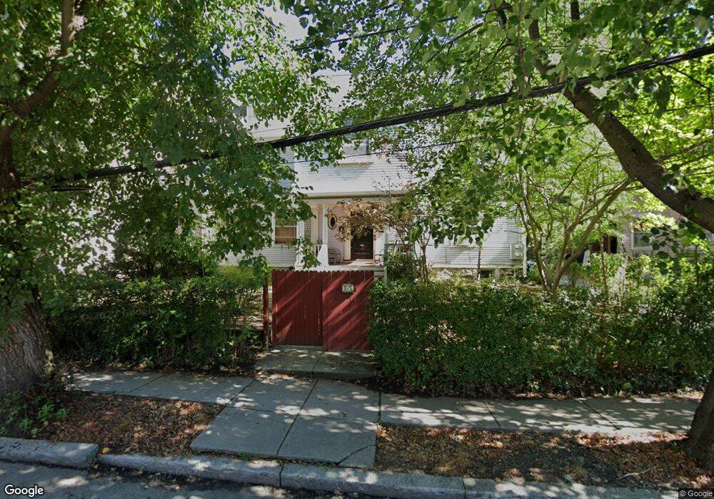
25 Dwight St Brookline, MA 02446
Coolidge Corner NeighborhoodEstimated Value: $3,396,000 - $4,069,054
5
Beds
3
Baths
5,734
Sq Ft
$641/Sq Ft
Est. Value
About This Home
This home is located at 25 Dwight St, Brookline, MA 02446 and is currently estimated at $3,675,018, approximately $640 per square foot. 25 Dwight St is a home located in Norfolk County with nearby schools including Florida Ruffin Ridley, Brookline High School, and Edward M. Kennedy Academy for Health Careers.
Ownership History
Date
Name
Owned For
Owner Type
Purchase Details
Closed on
Aug 31, 1992
Sold by
Sky Beverly R
Bought by
Reder Milton A
Current Estimated Value
Home Financials for this Owner
Home Financials are based on the most recent Mortgage that was taken out on this home.
Original Mortgage
$258,000
Interest Rate
8.09%
Mortgage Type
Purchase Money Mortgage
Create a Home Valuation Report for This Property
The Home Valuation Report is an in-depth analysis detailing your home's value as well as a comparison with similar homes in the area
Home Values in the Area
Average Home Value in this Area
Purchase History
| Date | Buyer | Sale Price | Title Company |
|---|---|---|---|
| Reder Milton A | $388,250 | -- |
Source: Public Records
Mortgage History
| Date | Status | Borrower | Loan Amount |
|---|---|---|---|
| Open | Reder Milton A | $100,000 | |
| Closed | Reder Milton A | $258,000 |
Source: Public Records
Tax History
| Year | Tax Paid | Tax Assessment Tax Assessment Total Assessment is a certain percentage of the fair market value that is determined by local assessors to be the total taxable value of land and additions on the property. | Land | Improvement |
|---|---|---|---|---|
| 2025 | $33,388 | $3,382,800 | $1,460,600 | $1,922,200 |
| 2024 | $33,026 | $3,380,300 | $1,404,400 | $1,975,900 |
| 2023 | $33,044 | $3,314,300 | $1,299,700 | $2,014,600 |
| 2022 | $32,164 | $3,156,400 | $1,237,800 | $1,918,600 |
| 2021 | $29,744 | $3,035,100 | $1,190,200 | $1,844,900 |
| 2020 | $28,294 | $2,994,100 | $1,081,900 | $1,912,200 |
| 2019 | $26,719 | $2,851,500 | $1,030,400 | $1,821,100 |
| 2018 | $24,264 | $2,564,900 | $858,900 | $1,706,000 |
| 2017 | $23,464 | $2,374,900 | $810,200 | $1,564,700 |
| 2016 | $22,497 | $2,159,000 | $757,200 | $1,401,800 |
| 2015 | $20,962 | $1,962,700 | $707,700 | $1,255,000 |
| 2014 | $19,698 | $1,729,400 | $589,800 | $1,139,600 |
Source: Public Records
Map
Nearby Homes
- 79 Pleasant St Unit 4
- 63-65 Green St Unit 1
- 63-65 Green St Unit PH-3
- 105 Babcock St
- 14 James St Unit 3
- 21 Green St Unit 3
- 52 Babcock St Unit 5
- 52 Babcock St Unit 1
- 221 Saint Paul St
- 125 Crowninshield Rd Unit 125
- 14 Green St Unit PHA
- 95 Stedman St Unit 1
- 1243 Beacon St Unit 5A
- 16 Parkman St Unit 1
- 99 Crowninshield Rd Unit 99
- 95 Beals St Unit 2
- 38 Stedman St Unit 38A
- 50 Longwood Ave Unit 518
- 50 Longwood Ave Unit 611
- 100 Sewall Ave Unit 5
- 31 Dwight St Unit 31B
- 31 Dwight St Unit 4
- 31 Dwight St Unit BSMT
- 31 Dwight St Unit 2
- 31 Dwight St Unit 1
- 33 Dwight St Unit 3
- 33 Dwight St Unit 2
- 33 Dwight St
- 33 Dwight St Unit 1
- 37 Dwight St Unit 3
- 37 Dwight St Unit 5
- 37 Dwight St Unit 2
- 37 Dwight St Unit 6
- 39 Dwight St Unit 1
- 39 Dwight St Unit 3
- 39 Dwight St
- 39 Dwight St Unit 100
- 21 Dwight St
- 21 Dwight St Unit 2
- 21 Dwight St Unit B
Your Personal Tour Guide
Ask me questions while you tour the home.