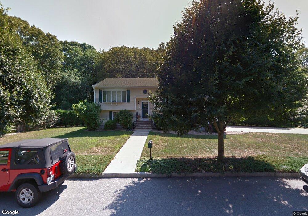
25 Elson Dr Riverside, RI 02915
Riverside NeighborhoodEstimated Value: $488,000 - $586,000
3
Beds
2
Baths
1,956
Sq Ft
$278/Sq Ft
Est. Value
About This Home
This home is located at 25 Elson Dr, Riverside, RI 02915 and is currently estimated at $542,950, approximately $277 per square foot. 25 Elson Dr is a home located in Providence County with nearby schools including East Providence High School, St Luke Elementary School, and Barrington Christian Academy.
Ownership History
Date
Name
Owned For
Owner Type
Purchase Details
Closed on
Feb 8, 2022
Sold by
Sparks Michael T and Sparks Laurie A
Bought by
Sparks Sean
Current Estimated Value
Home Financials for this Owner
Home Financials are based on the most recent Mortgage that was taken out on this home.
Original Mortgage
$430,000
Outstanding Balance
$398,029
Interest Rate
3.45%
Mortgage Type
VA
Estimated Equity
$144,921
Purchase Details
Closed on
Jan 4, 2000
Sold by
Mateus Luis A
Bought by
Sparks Michael T and Sparks Laurie
Create a Home Valuation Report for This Property
The Home Valuation Report is an in-depth analysis detailing your home's value as well as a comparison with similar homes in the area
Home Values in the Area
Average Home Value in this Area
Purchase History
| Date | Buyer | Sale Price | Title Company |
|---|---|---|---|
| Sparks Sean | $430,000 | None Available | |
| Sparks Sean | $430,000 | None Available | |
| Sparks Michael T | $161,500 | -- | |
| Sparks Michael T | $161,500 | -- |
Source: Public Records
Mortgage History
| Date | Status | Borrower | Loan Amount |
|---|---|---|---|
| Open | Sparks Sean | $430,000 | |
| Closed | Sparks Sean | $430,000 | |
| Previous Owner | Sparks Michael T | $295,000 | |
| Previous Owner | Sparks Michael T | $85,190 | |
| Previous Owner | Sparks Michael T | $85,190 |
Source: Public Records
Tax History Compared to Growth
Tax History
| Year | Tax Paid | Tax Assessment Tax Assessment Total Assessment is a certain percentage of the fair market value that is determined by local assessors to be the total taxable value of land and additions on the property. | Land | Improvement |
|---|---|---|---|---|
| 2025 | $6,798 | $520,100 | $146,800 | $373,300 |
| 2024 | $6,471 | $422,100 | $122,400 | $299,700 |
| 2023 | $6,230 | $422,100 | $122,400 | $299,700 |
| 2022 | $6,781 | $310,200 | $71,300 | $238,900 |
| 2021 | $6,669 | $310,200 | $68,600 | $241,600 |
| 2020 | $6,387 | $310,200 | $68,600 | $241,600 |
| 2019 | $6,210 | $310,200 | $68,600 | $241,600 |
| 2018 | $6,756 | $295,300 | $83,600 | $211,700 |
| 2017 | $6,606 | $295,300 | $83,600 | $211,700 |
| 2016 | $6,573 | $295,300 | $83,600 | $211,700 |
| 2015 | $5,937 | $258,700 | $70,600 | $188,100 |
| 2014 | $5,937 | $258,700 | $70,600 | $188,100 |
Source: Public Records
Map
Nearby Homes