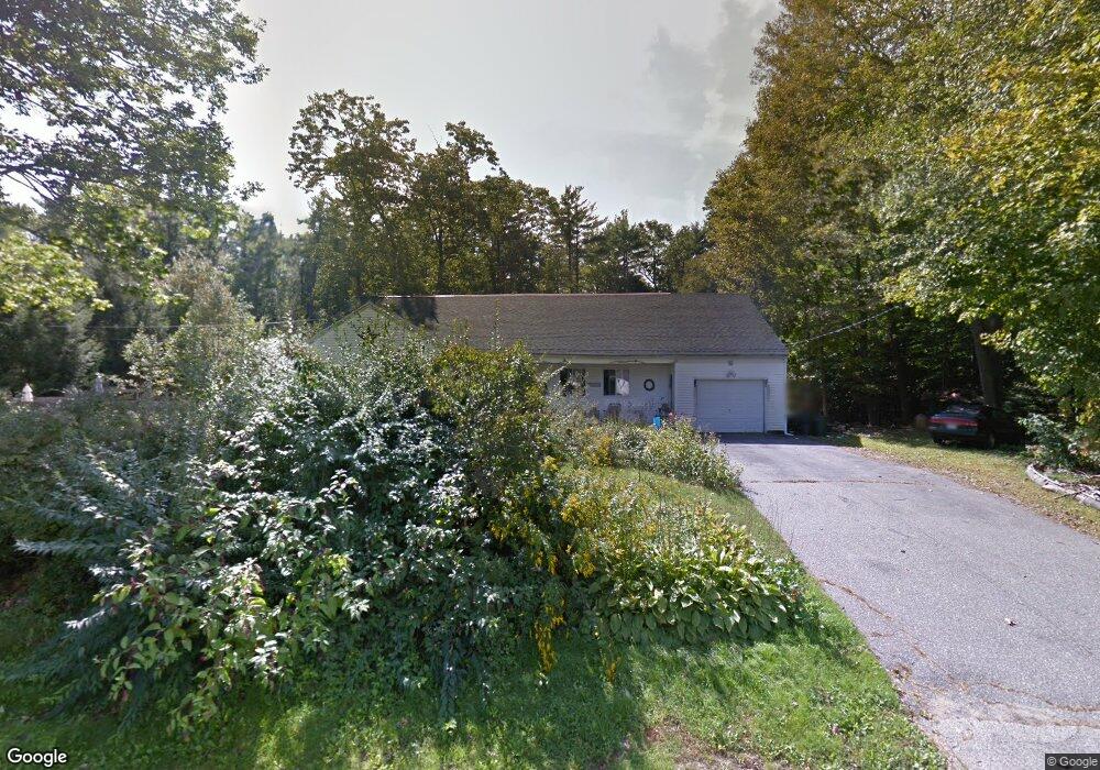
25 Fernald Rd Kittery, ME 03904
Estimated Value: $548,000 - $678,000
4
Beds
2
Baths
2,637
Sq Ft
$238/Sq Ft
Est. Value
About This Home
This home is located at 25 Fernald Rd, Kittery, ME 03904 and is currently estimated at $626,820, approximately $237 per square foot. 25 Fernald Rd is a home with nearby schools including Shapleigh School, Horace Mitchell Primary School, and Robert W Traip Academy.
Ownership History
Date
Name
Owned For
Owner Type
Purchase Details
Closed on
Oct 19, 2023
Sold by
Cushing Stacy
Bought by
Cushing Ft and Cushing
Current Estimated Value
Purchase Details
Closed on
Jan 16, 2013
Sold by
Dennis Stacy A and Dennis Lawrence
Bought by
Dennis Stacy A
Home Financials for this Owner
Home Financials are based on the most recent Mortgage that was taken out on this home.
Original Mortgage
$223,850
Interest Rate
3.39%
Mortgage Type
New Conventional
Create a Home Valuation Report for This Property
The Home Valuation Report is an in-depth analysis detailing your home's value as well as a comparison with similar homes in the area
Home Values in the Area
Average Home Value in this Area
Purchase History
| Date | Buyer | Sale Price | Title Company |
|---|---|---|---|
| Cushing Ft | -- | None Available | |
| Dennis Stacy A | -- | -- |
Source: Public Records
Mortgage History
| Date | Status | Borrower | Loan Amount |
|---|---|---|---|
| Previous Owner | Dennis Stacy A | $223,850 |
Source: Public Records
Tax History
| Year | Tax Paid | Tax Assessment Tax Assessment Total Assessment is a certain percentage of the fair market value that is determined by local assessors to be the total taxable value of land and additions on the property. | Land | Improvement |
|---|---|---|---|---|
| 2024 | $5,936 | $418,000 | $106,100 | $311,900 |
| 2023 | $5,689 | $418,000 | $106,100 | $311,900 |
| 2022 | $5,635 | $418,000 | $106,100 | $311,900 |
| 2021 | $4,997 | $384,400 | $106,100 | $278,300 |
| 2020 | $4,959 | $384,400 | $106,100 | $278,300 |
| 2019 | $5,375 | $308,900 | $70,000 | $238,900 |
| 2018 | $5,190 | $308,900 | $70,000 | $238,900 |
| 2017 | $3,749 | $227,200 | $70,000 | $157,200 |
| 2016 | $3,647 | $227,200 | $70,000 | $157,200 |
| 2015 | $3,560 | $227,200 | $70,000 | $157,200 |
| 2014 | $3,526 | $227,200 | $70,000 | $157,200 |
| 2013 | $3,458 | $227,200 | $70,000 | $157,200 |
Source: Public Records
Map
Nearby Homes
- 22 Summer Ln
- 19 Aspen Cir
- 42 Caslyn Dr
- 19 Seward Farm Ln
- 100 Shepard's Cove Rd Unit H305
- 100 Shepard's Cove Rd Unit G107
- 100 Shepards Cove Rd Unit F204
- 100 Shepards Cove Rd Unit H301
- 10 Bayview Ln
- 333 Main St
- 30-3 Regency Cir Unit 3
- 18 Shipping Ln
- 53 Blackberry Place
- 22 Turkeytail Ln
- 8 Grover Ave
- 8 Grover Ln
- 27 Oak Terrace
- 25 Oak Terrace
- 60 Pine Hill Rd S Unit 315
- 8 Spruce Point Rd
- 26 Fernald Rd
- 27 Fernald Rd
- 21 Fernald Rd
- 24 Fernald Rd
- 28 Fernald Rd
- 22 Fernald Rd
- 20 Fernald Rd
- TBD Maine 236
- 17 Fernald Rd
- 2 White Birch Ln
- 76 Route 236
- 18 Fernald Rd
- 19 Fernald Rd
- 70 Route 236
- 0 Route 236 (Hl Dow Hwy) Unit 4036680
- 68 Maine 236
- 15 Fernald Rd
- 16 Fernald Rd
- 60 Route 236
- 1 White Birch Ln
Your Personal Tour Guide
Ask me questions while you tour the home.