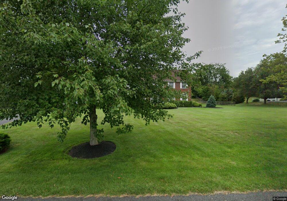
25 Fieldpointe Dr Branchburg, NJ 08876
Branchburg Township NeighborhoodEstimated Value: $799,000 - $1,633,000
--
Bed
--
Bath
3,776
Sq Ft
$309/Sq Ft
Est. Value
About This Home
This home is located at 25 Fieldpointe Dr, Branchburg, NJ 08876 and is currently estimated at $1,167,591, approximately $309 per square foot. 25 Fieldpointe Dr is a home located in Somerset County with nearby schools including Whiton Elementary School, Stony Brook School, and Branchburg Central Middle School.
Ownership History
Date
Name
Owned For
Owner Type
Purchase Details
Closed on
Mar 8, 1996
Sold by
Tillery Ken
Bought by
Berliner Chris and Berliner Marlo
Current Estimated Value
Home Financials for this Owner
Home Financials are based on the most recent Mortgage that was taken out on this home.
Original Mortgage
$254,000
Outstanding Balance
$9,906
Interest Rate
6.97%
Estimated Equity
$1,157,685
Purchase Details
Closed on
Mar 5, 1993
Sold by
Burnt Mills Manor Inc
Bought by
Tillery Kennth L and Tillery Debra J
Create a Home Valuation Report for This Property
The Home Valuation Report is an in-depth analysis detailing your home's value as well as a comparison with similar homes in the area
Home Values in the Area
Average Home Value in this Area
Purchase History
| Date | Buyer | Sale Price | Title Company |
|---|---|---|---|
| Berliner Chris | $379,000 | -- | |
| Tillery Kennth L | $396,700 | -- |
Source: Public Records
Mortgage History
| Date | Status | Borrower | Loan Amount |
|---|---|---|---|
| Open | Berliner Chris | $254,000 |
Source: Public Records
Tax History Compared to Growth
Tax History
| Year | Tax Paid | Tax Assessment Tax Assessment Total Assessment is a certain percentage of the fair market value that is determined by local assessors to be the total taxable value of land and additions on the property. | Land | Improvement |
|---|---|---|---|---|
| 2025 | $15,693 | $959,900 | $231,400 | $728,500 |
| 2024 | $15,693 | $869,900 | $231,400 | $638,500 |
| 2023 | $15,153 | $809,900 | $231,400 | $578,500 |
| 2022 | $15,159 | $769,900 | $231,400 | $538,500 |
| 2021 | $15,219 | $719,900 | $216,400 | $503,500 |
| 2020 | $15,042 | $701,900 | $216,400 | $485,500 |
| 2019 | $15,018 | $696,900 | $216,400 | $480,500 |
| 2018 | $14,822 | $685,900 | $216,400 | $469,500 |
| 2017 | $14,534 | $667,900 | $206,400 | $461,500 |
| 2016 | $14,167 | $646,900 | $206,400 | $440,500 |
| 2015 | $13,813 | $631,900 | $206,400 | $425,500 |
| 2014 | $13,649 | $631,900 | $201,400 | $430,500 |
Source: Public Records
Map
Nearby Homes
- 1135 State Route 28
- 1114 State Route 28
- 2 Eckles Dr
- 61 Waugh Ct
- 2 Dumont Ct
- 596 Meadow Rd
- 265 Riverview Dr
- 684 N View Dr
- 319 Hannah Way
- 3366 Round Hill Rd
- 48 Reinhart Way
- 40 France Dr
- 351 Route 28
- 3366 Us Highway 22
- 4101 Dilts Ln
- 248 Carol Jean Way
- 507 Dunn Cir
- 43 Wexford Way
- 235 Candlewick Ln
- 4703 Patterson St Unit 47
- 27 Fieldpointe Dr
- 23 Fieldpointe Dr
- 22 Fieldpointe Dr
- 40 Burnt Mill Rd
- 20 Burnt Mill Rd
- 34 Burnt Mill Rd
- 18 Fieldpointe Dr
- 50 Burnt Mill Rd
- 29 Fieldpointe Dr
- 12 Burnt Mill Rd
- 16 Burnt Mill Rd
- 21 Fieldpointe Dr
- 8 Fieldpointe Dr
- 31 Fieldpointe Dr
- 10 Burnt Mill Rd
- 10 Fieldpointe Dr
- 2 Rolland Dr
- 19 Fieldpointe Dr
- 41 Burnt Mill Rd
- 17 Fieldpointe Dr