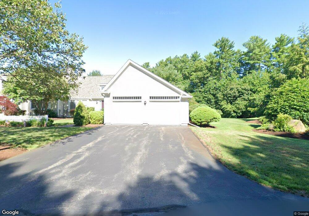
25 Fieldstone Dr Pembroke, MA 02359
Estimated Value: $677,334 - $840,000
2
Beds
3
Baths
2,028
Sq Ft
$364/Sq Ft
Est. Value
About This Home
This home is located at 25 Fieldstone Dr, Pembroke, MA 02359 and is currently estimated at $739,084, approximately $364 per square foot. 25 Fieldstone Dr is a home located in Plymouth County with nearby schools including Pembroke High School, Cadence Academy Preschool - Hanover, and Cardinal Cushing Centers.
Ownership History
Date
Name
Owned For
Owner Type
Purchase Details
Closed on
Feb 26, 2020
Sold by
Kozhebrodskiy Vyacheslav and Pavlovskaya Irina
Bought by
Kozhebrodskaya Yelena
Current Estimated Value
Purchase Details
Closed on
Sep 23, 2003
Sold by
Taylor Howard
Bought by
Kozhebrodskiy Vyacheslav and Pavlovskaya Irina
Home Financials for this Owner
Home Financials are based on the most recent Mortgage that was taken out on this home.
Original Mortgage
$290,000
Interest Rate
6.31%
Mortgage Type
Purchase Money Mortgage
Create a Home Valuation Report for This Property
The Home Valuation Report is an in-depth analysis detailing your home's value as well as a comparison with similar homes in the area
Home Values in the Area
Average Home Value in this Area
Purchase History
| Date | Buyer | Sale Price | Title Company |
|---|---|---|---|
| Kozhebrodskaya Yelena | -- | None Available | |
| Kozhebrodskiy Vyacheslav | $480,000 | -- |
Source: Public Records
Mortgage History
| Date | Status | Borrower | Loan Amount |
|---|---|---|---|
| Previous Owner | Kozhebrodskiy Vyacheslav | $180,000 | |
| Previous Owner | Kozhebrodskiy Vyacheslav | $220,000 | |
| Previous Owner | Kozhebrodskiy Vyacheslav | $238,000 | |
| Previous Owner | Kozhebrodskiy Vyacheslav | $290,000 |
Source: Public Records
Tax History Compared to Growth
Tax History
| Year | Tax Paid | Tax Assessment Tax Assessment Total Assessment is a certain percentage of the fair market value that is determined by local assessors to be the total taxable value of land and additions on the property. | Land | Improvement |
|---|---|---|---|---|
| 2025 | $7,844 | $652,600 | $0 | $652,600 |
| 2024 | $7,779 | $646,600 | $0 | $646,600 |
| 2023 | $7,769 | $610,800 | $0 | $610,800 |
| 2022 | $7,780 | $549,800 | $0 | $549,800 |
| 2021 | $7,729 | $530,100 | $0 | $530,100 |
| 2020 | $7,587 | $523,600 | $0 | $523,600 |
| 2019 | $7,427 | $508,700 | $0 | $508,700 |
| 2018 | $7,589 | $509,700 | $0 | $509,700 |
| 2017 | $7,447 | $493,200 | $0 | $493,200 |
| 2016 | $7,148 | $468,400 | $0 | $468,400 |
| 2015 | $6,800 | $461,300 | $0 | $461,300 |
Source: Public Records
Map
Nearby Homes
- 33 Barker Square Dr Unit 33
- 100 Fairwood Dr
- 599 Washington St Unit 14
- 40 Brisan Way
- 261 Washington St
- 30 Old Washington St Unit 9
- 330 Pleasant St
- 99 Old Washington St
- 172 Washington St
- 77 Old Cart Path Ln Unit Lot 4
- 78 Old Cart Path Ln Unit Lot 3
- 72 Old Cart Path Ln Unit Lot 2
- 290 High St
- 218 Schoosett St
- 204 Center St Unit 9
- 55 Shipyard Ln
- 29 Liberty Dr Unit 29
- 53 Grove St
- 10 Warren Terrace
- 285 W Elm St
- 29 Fieldstone Dr
- 33 Fieldstone Dr
- 37 Fieldstone Dr
- 11 Trellis Cir Unit 26
- 11 Trellis Cir
- 10 Trellis Cir
- 32 Fieldstone Dr
- 475 Washington St
- 479 Washington St
- 40 Fieldstone Dr
- 36 Fieldstone Dr
- 44 Fieldstone Dr
- 481 Washington St
- 455 Washington St
- 48 Fieldstone Dr
- 6 Trellis Cir
- 2 Trellis Cir
- 7 Picket Trail
- 11 Picket Trail
- 12 Picket Trail