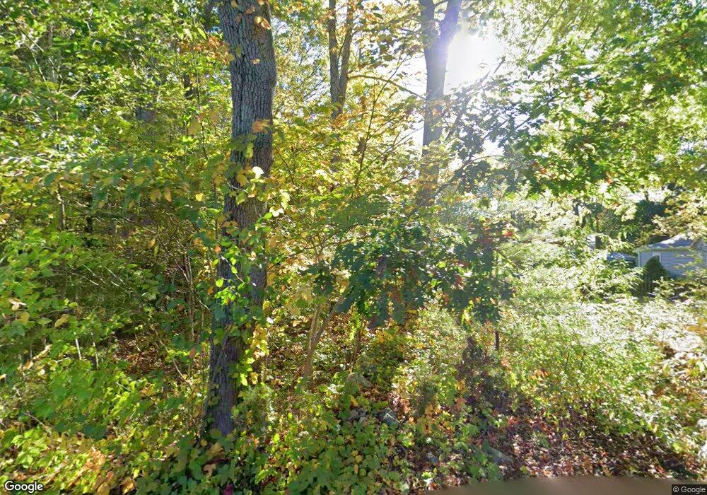
25 Francis St Rehoboth, MA 02769
Estimated Value: $426,923 - $486,000
3
Beds
1
Bath
900
Sq Ft
$517/Sq Ft
Est. Value
About This Home
This home is located at 25 Francis St, Rehoboth, MA 02769 and is currently estimated at $465,481, approximately $517 per square foot. 25 Francis St is a home located in Bristol County with nearby schools including Dighton-Rehoboth Regional High School, Cedar Brook School, and The Pinecroft School.
Ownership History
Date
Name
Owned For
Owner Type
Purchase Details
Closed on
Oct 13, 1999
Sold by
Roy Ronald L and Roy Donat E
Bought by
Sheehan Deborah S
Current Estimated Value
Home Financials for this Owner
Home Financials are based on the most recent Mortgage that was taken out on this home.
Original Mortgage
$108,000
Outstanding Balance
$32,535
Interest Rate
7.8%
Mortgage Type
Purchase Money Mortgage
Estimated Equity
$432,946
Create a Home Valuation Report for This Property
The Home Valuation Report is an in-depth analysis detailing your home's value as well as a comparison with similar homes in the area
Home Values in the Area
Average Home Value in this Area
Purchase History
| Date | Buyer | Sale Price | Title Company |
|---|---|---|---|
| Sheehan Deborah S | $120,000 | -- |
Source: Public Records
Mortgage History
| Date | Status | Borrower | Loan Amount |
|---|---|---|---|
| Open | Sheehan Deborah S | $108,000 |
Source: Public Records
Tax History Compared to Growth
Tax History
| Year | Tax Paid | Tax Assessment Tax Assessment Total Assessment is a certain percentage of the fair market value that is determined by local assessors to be the total taxable value of land and additions on the property. | Land | Improvement |
|---|---|---|---|---|
| 2025 | $37 | $335,000 | $194,100 | $140,900 |
| 2024 | $3,749 | $330,000 | $194,100 | $135,900 |
| 2023 | $3,716 | $319,900 | $190,100 | $129,800 |
| 2022 | $3,716 | $293,300 | $181,700 | $111,600 |
| 2021 | $3,552 | $268,300 | $165,400 | $102,900 |
| 2020 | $3,443 | $262,400 | $165,400 | $97,000 |
| 2018 | $2,945 | $246,000 | $157,600 | $88,400 |
| 2017 | $2,875 | $228,900 | $157,600 | $71,300 |
| 2016 | $2,804 | $230,800 | $157,600 | $73,200 |
| 2015 | $2,623 | $213,100 | $150,400 | $62,700 |
| 2014 | $2,561 | $205,900 | $143,200 | $62,700 |
Source: Public Records
Map
Nearby Homes
- 29 & 43 Francis St
- 58 Peck St
- 48 Round Farm Rd
- 2 Round Farm Rd
- 1 Round Farm Rd
- 2045 Winthrop St
- 257 Anawan St
- 14 Tremont St
- 133 Winthrop St
- 70 Forest Hill Dr
- 1120 Glebe St
- 24 New St
- 10 Muriel Way
- 701 Winthrop St Unit 312
- 805 Burt St
- 0 Kimberly Rd
- 27 Run Brook Cir
- 99 Brigham Hill Rd
- 154 Fairview Ave
- 2181 Wheeler St
- 28 Francis St
- 20 Francis St
- 19 Francis St
- 15 Francis St
- 15 Francis St Unit 1
- 15 Francis St
- 11 Francis St
- 42 Francis St
- 40 Francis St Unit 42
- 40 Francis St Unit Left
- 40 Francis St Unit 40
- 46 Francis St
- 46 Francis St Unit 2
- 112 Peck St
- 49 Francis St
- 47 Francis St
- 124 Peck St
- 116 Peck St
- 51 Francis St
- 52 Francis St
