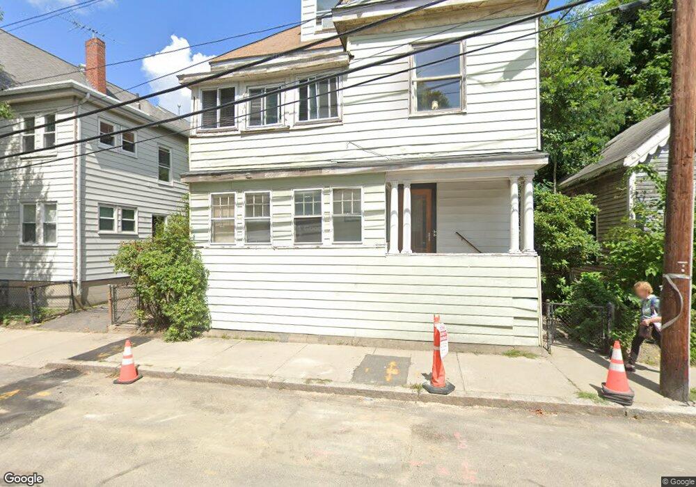
25 Granite St Unit 1 Cambridge, MA 02139
Cambridgeport NeighborhoodEstimated Value: $1,479,000 - $2,362,000
1
Bed
1
Bath
650
Sq Ft
$2,838/Sq Ft
Est. Value
About This Home
This home is located at 25 Granite St Unit 1, Cambridge, MA 02139 and is currently estimated at $1,844,712, approximately $2,838 per square foot. 25 Granite St Unit 1 is a home located in Middlesex County with nearby schools including Edward M. Kennedy Academy for Health Careers and Torit Montessori School.
Ownership History
Date
Name
Owned For
Owner Type
Purchase Details
Closed on
Apr 24, 2002
Sold by
Leoutsakos John and Leoutsakos Eleni
Bought by
Moore Maxwell and Moore Bertha
Current Estimated Value
Home Financials for this Owner
Home Financials are based on the most recent Mortgage that was taken out on this home.
Original Mortgage
$500,000
Outstanding Balance
$210,820
Interest Rate
7.05%
Mortgage Type
Purchase Money Mortgage
Estimated Equity
$1,633,892
Create a Home Valuation Report for This Property
The Home Valuation Report is an in-depth analysis detailing your home's value as well as a comparison with similar homes in the area
Home Values in the Area
Average Home Value in this Area
Purchase History
| Date | Buyer | Sale Price | Title Company |
|---|---|---|---|
| Moore Maxwell | $500,000 | -- |
Source: Public Records
Mortgage History
| Date | Status | Borrower | Loan Amount |
|---|---|---|---|
| Open | Moore Maxwell | $500,000 |
Source: Public Records
Tax History Compared to Growth
Tax History
| Year | Tax Paid | Tax Assessment Tax Assessment Total Assessment is a certain percentage of the fair market value that is determined by local assessors to be the total taxable value of land and additions on the property. | Land | Improvement |
|---|---|---|---|---|
| 2025 | $8,120 | $1,278,700 | $772,500 | $506,200 |
| 2024 | $7,848 | $1,325,700 | $838,300 | $487,400 |
| 2023 | $7,368 | $1,257,300 | $829,900 | $427,400 |
| 2022 | $7,314 | $1,235,400 | $849,200 | $386,200 |
| 2021 | $6,870 | $1,174,400 | $802,700 | $371,700 |
| 2020 | $5,797 | $1,127,900 | $763,200 | $364,700 |
| 2019 | $5,420 | $1,009,200 | $665,600 | $343,600 |
| 2018 | $5,619 | $893,300 | $585,300 | $308,000 |
| 2017 | $5,722 | $881,700 | $573,800 | $307,900 |
| 2016 | $5,171 | $739,800 | $453,300 | $286,500 |
| 2015 | $5,086 | $650,400 | $395,900 | $254,500 |
| 2014 | $5,060 | $603,800 | $375,900 | $227,900 |
Source: Public Records
Map
Nearby Homes
- 21 Florence St
- 164-170 Allston St
- 214 Allston St
- 260 Sidney St Unit 3R
- 594 Putnam Ave Unit 2
- 100 Magazine St Unit 2
- 161 Hamilton St
- 120 Pleasant St Unit 1
- 201 Brookline St Unit 6
- 131 Erie St Unit 3
- 131 Erie St Unit 1
- 131 Erie St Unit 2
- 131 Erie St
- 15 Fairmont St
- 135-139 Pearl St Unit 1
- 125 Brookline St Unit 4
- 118 Pearl St Unit 2
- 8 Lopez St
- 1 Jay St
- 6-8 Watson St Unit 8
- 25 Granite St
- 25 Granite St
- 356 Pearl St
- 356 Pearl St Unit 2
- 356 Pearl St Unit 1
- 356 Pearl St
- 354 Pearl St
- 352 Pearl St
- 352 Pearl St Unit 352
- 33 Rockingham St
- 31 Rockingham St Unit 33
- 31 Rockingham St
- 350 Pearl St
- 350 Pearl St Unit 2
- 27 Rockingham St
- 27 Rockingham St Unit 2
- 19 Rockingham St Unit 25
- 346 Pearl St
- 25 Rockingham St
- 23 Rockingham St