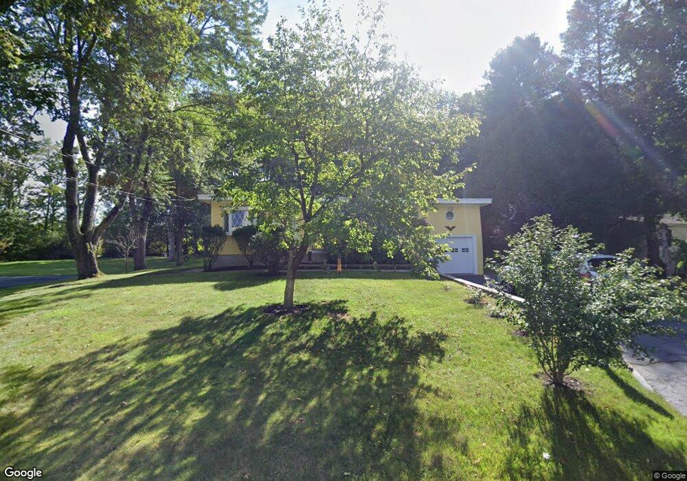
25 Greenhalge Rd Ashland, MA 01721
Estimated Value: $621,000 - $707,000
3
Beds
1
Bath
1,504
Sq Ft
$432/Sq Ft
Est. Value
About This Home
This home is located at 25 Greenhalge Rd, Ashland, MA 01721 and is currently estimated at $650,274, approximately $432 per square foot. 25 Greenhalge Rd is a home located in Middlesex County with nearby schools including William Pittaway Elementary School, Henry E. Warren Elementary School, and David Mindess Elementary School.
Ownership History
Date
Name
Owned For
Owner Type
Purchase Details
Closed on
Nov 28, 2016
Sold by
Rivera Carmelo and Rivera Aida C
Bought by
Aida C Rivera 2016 T
Current Estimated Value
Purchase Details
Closed on
Jan 3, 1983
Bought by
Rivera Carmelo and Rivera Aida C
Create a Home Valuation Report for This Property
The Home Valuation Report is an in-depth analysis detailing your home's value as well as a comparison with similar homes in the area
Home Values in the Area
Average Home Value in this Area
Purchase History
| Date | Buyer | Sale Price | Title Company |
|---|---|---|---|
| Aida C Rivera 2016 T | -- | -- | |
| Rivera Carmelo | -- | -- |
Source: Public Records
Mortgage History
| Date | Status | Borrower | Loan Amount |
|---|---|---|---|
| Previous Owner | Rivera Carmelo | $135,000 | |
| Previous Owner | Rivera Carmelo | $31,400 | |
| Previous Owner | Rivera Carmelo | $123,000 | |
| Previous Owner | Rivera Carmelo | $61,500 |
Source: Public Records
Tax History Compared to Growth
Tax History
| Year | Tax Paid | Tax Assessment Tax Assessment Total Assessment is a certain percentage of the fair market value that is determined by local assessors to be the total taxable value of land and additions on the property. | Land | Improvement |
|---|---|---|---|---|
| 2025 | $7,529 | $589,600 | $224,800 | $364,800 |
| 2024 | $7,383 | $557,600 | $224,800 | $332,800 |
| 2023 | $6,834 | $496,300 | $214,100 | $282,200 |
| 2022 | $6,917 | $435,600 | $194,500 | $241,100 |
| 2021 | $6,531 | $410,000 | $194,500 | $215,500 |
| 2020 | $6,320 | $391,100 | $198,200 | $192,900 |
| 2019 | $6,037 | $370,800 | $198,200 | $172,600 |
| 2018 | $5,936 | $357,400 | $196,200 | $161,200 |
| 2017 | $5,756 | $344,700 | $192,500 | $152,200 |
| 2016 | $5,450 | $320,600 | $187,600 | $133,000 |
| 2015 | $5,105 | $295,100 | $175,200 | $119,900 |
| 2014 | $5,060 | $291,000 | $156,400 | $134,600 |
Source: Public Records
Map
Nearby Homes
- 15 Bates Rd
- 36 Bates Rd
- 69 Whitney Ave
- 37 James Rd
- 181 E Union St
- 20 Mulhall Dr
- 17 Sewell St
- 158 Algonquin Trail
- 8 Cedar St
- 291 Captain Eames Cir
- 379 Captain Eames Cir
- 88 Brush Hill Rd
- 131 Mellen St Unit 3B
- 76 Algonquin Trail
- 343 Captain Eames Cir Unit 38-C
- 302 Hollis St Unit R
- 9 Adams Rd
- 292 Hollis St
- 262 Captain Eames Cir
- 1 Adams Rd
- 28 Greenhalge Rd
- 24 Greenhalge Rd
- 17 Greenhalge Rd
- 15 Greenhalge Rd
- 18 Greenhalge Rd
- 36 Brackett Rd
- 27 Douglas Rd
- 25 Douglas Rd
- 25 Douglas Rd Unit 25
- 21 Douglas Rd Unit 23
- 21 Douglas Rd
- 42 Brackett Rd
- 13 Greenhalge Rd
- 42 Greenhalge Rd
- 17 Douglas Rd Unit 19
- 12 Greenhalge Rd
- 12 Greenhalge Rd Unit a
- 12 Greenhalge Rd Unit 2
- 12 Greenhalge Rd Unit 12a
- 12 Greenhalge Rd Unit 1