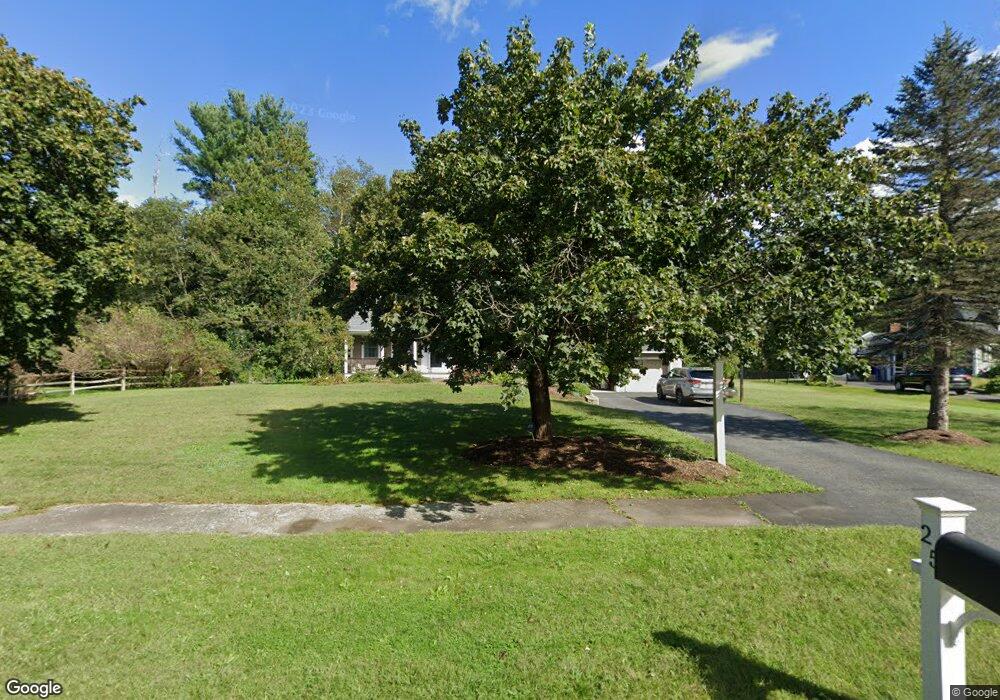
25 Gretchen Ln Holliston, MA 01746
Estimated Value: $968,345 - $1,147,000
3
Beds
3
Baths
3,709
Sq Ft
$283/Sq Ft
Est. Value
About This Home
This home is located at 25 Gretchen Ln, Holliston, MA 01746 and is currently estimated at $1,048,586, approximately $282 per square foot. 25 Gretchen Ln is a home located in Middlesex County with nearby schools including Placentino Elementary School, Miller Elementary School, and Robert H. Adams Middle School.
Ownership History
Date
Name
Owned For
Owner Type
Purchase Details
Closed on
Feb 1, 2002
Sold by
White Donald S and White Teresa A
Bought by
Cotting Robert M and Cotting Megan E
Current Estimated Value
Home Financials for this Owner
Home Financials are based on the most recent Mortgage that was taken out on this home.
Original Mortgage
$135,000
Outstanding Balance
$53,256
Interest Rate
7.15%
Mortgage Type
Purchase Money Mortgage
Estimated Equity
$995,330
Create a Home Valuation Report for This Property
The Home Valuation Report is an in-depth analysis detailing your home's value as well as a comparison with similar homes in the area
Home Values in the Area
Average Home Value in this Area
Purchase History
| Date | Buyer | Sale Price | Title Company |
|---|---|---|---|
| Cotting Robert M | $375,000 | -- |
Source: Public Records
Mortgage History
| Date | Status | Borrower | Loan Amount |
|---|---|---|---|
| Open | Cotting Robert M | $135,000 |
Source: Public Records
Tax History
| Year | Tax Paid | Tax Assessment Tax Assessment Total Assessment is a certain percentage of the fair market value that is determined by local assessors to be the total taxable value of land and additions on the property. | Land | Improvement |
|---|---|---|---|---|
| 2025 | $12,899 | $880,500 | $268,200 | $612,300 |
| 2024 | $12,018 | $798,000 | $268,200 | $529,800 |
| 2023 | $11,200 | $727,300 | $268,200 | $459,100 |
| 2022 | $11,450 | $658,800 | $268,200 | $390,600 |
| 2021 | $11,171 | $625,800 | $235,200 | $390,600 |
| 2020 | $11,267 | $597,700 | $240,000 | $357,700 |
| 2019 | $10,810 | $574,100 | $220,200 | $353,900 |
| 2018 | $10,028 | $537,100 | $220,200 | $316,900 |
| 2017 | $9,834 | $531,000 | $227,100 | $303,900 |
| 2016 | $9,549 | $508,200 | $204,300 | $303,900 |
| 2015 | $9,421 | $486,100 | $175,200 | $310,900 |
Source: Public Records
Map
Nearby Homes
- 2 Towne Lyne Rd
- 50 Walnut St
- 13 Hattie Ln Unit 13
- 119 Middlesex St
- 124 Glen Ellen Blvd Unit 124
- 6 Glen Ellen Blvd Unit 6
- 3 Jameson Dr Unit 3
- 14 Fiske Pond Rd
- 4 Brookview Rd
- 18 Northway St
- 6 Skyview Terrace
- 21 Spywood Rd
- 27 Spywood Rd
- 59 Spywood Rd
- 731 Norfolk St
- 20 Nason Hill Rd
- 66 Lakeshore Dr
- 6 Beech St
- 0 Hill St
- 6 Rivendell Ln
Your Personal Tour Guide
Ask me questions while you tour the home.