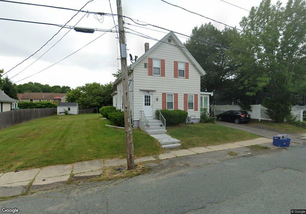
25 Hancock St Whitman, MA 02382
Estimated Value: $394,000 - $631,000
3
Beds
2
Baths
1,531
Sq Ft
$339/Sq Ft
Est. Value
About This Home
This home is located at 25 Hancock St, Whitman, MA 02382 and is currently estimated at $518,932, approximately $338 per square foot. 25 Hancock St is a home located in Plymouth County with nearby schools including St Bridget School and Cardinal Spellman High School.
Ownership History
Date
Name
Owned For
Owner Type
Purchase Details
Closed on
Sep 17, 2014
Sold by
Gerry Catherine M and Gerry Linda M
Bought by
Gerry Roy T
Current Estimated Value
Purchase Details
Closed on
Dec 9, 2005
Sold by
Gerry Myron Glenn
Bought by
Gerry Roy T and Gerry Michael A
Home Financials for this Owner
Home Financials are based on the most recent Mortgage that was taken out on this home.
Original Mortgage
$170,000
Interest Rate
6.17%
Mortgage Type
Purchase Money Mortgage
Create a Home Valuation Report for This Property
The Home Valuation Report is an in-depth analysis detailing your home's value as well as a comparison with similar homes in the area
Home Values in the Area
Average Home Value in this Area
Purchase History
| Date | Buyer | Sale Price | Title Company |
|---|---|---|---|
| Gerry Roy T | -- | -- | |
| Gerry Roy T | $212,500 | -- |
Source: Public Records
Mortgage History
| Date | Status | Borrower | Loan Amount |
|---|---|---|---|
| Previous Owner | Gerry Roy T | $170,000 | |
| Previous Owner | Gerry Roy T | $168,000 |
Source: Public Records
Tax History Compared to Growth
Tax History
| Year | Tax Paid | Tax Assessment Tax Assessment Total Assessment is a certain percentage of the fair market value that is determined by local assessors to be the total taxable value of land and additions on the property. | Land | Improvement |
|---|---|---|---|---|
| 2025 | $5,719 | $435,900 | $208,700 | $227,200 |
| 2024 | $5,385 | $422,700 | $204,600 | $218,100 |
| 2023 | $5,246 | $386,600 | $177,400 | $209,200 |
| 2022 | $5,121 | $351,700 | $161,300 | $190,400 |
| 2021 | $5,056 | $326,200 | $148,200 | $178,000 |
| 2020 | $4,947 | $312,100 | $134,100 | $178,000 |
| 2019 | $4,242 | $275,800 | $134,100 | $141,700 |
| 2018 | $4,123 | $257,500 | $127,000 | $130,500 |
| 2017 | $3,750 | $248,700 | $127,000 | $121,700 |
| 2016 | $3,860 | $247,600 | $121,000 | $126,600 |
| 2015 | $3,762 | $241,000 | $121,000 | $120,000 |
Source: Public Records
Map
Nearby Homes
- 164 Warren Ave
- 66 Belmont St
- 604 Bedford St Unit 5
- 135-137 Temple St
- 551 Bedford St Unit B4
- 53 Temple St
- 277 School St
- 300 High St
- 532 Washington St
- 1098 Bedford St
- 63 Dewey Ave
- 262 Homeland Dr
- 501 Auburn St Unit 404
- 501 Auburn St Unit 201
- 150 Harvard St
- 110 South Ave Unit 14
- 48 Day St
- 20 Elm Place
- 360 High St
- 383 Washington St
- 25 Hancock St Unit 2
- 31 Hancock St
- 17 Hancock St
- 20 Hancock St
- 774 Bedford St Unit 1
- 774 Bedford St
- 774 Bedford St Unit 2
- 37 Hancock St
- 764 Bedford St
- 788 Bedford St
- 287 Temple St
- 287 Temple St Unit 2
- 287 Temple St Unit 3
- 51 Hancock St
- 281 Temple St
- 48 Hancock St
- 769 Bedford St
- 55 Hancock St
- 321 Temple St
- 806 Bedford St