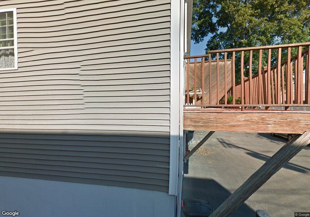
25 Hastings Ave Unit 2 Waltham, MA 02453
Bleachery NeighborhoodEstimated Value: $752,000 - $898,000
3
Beds
3
Baths
1,450
Sq Ft
$551/Sq Ft
Est. Value
About This Home
This home is located at 25 Hastings Ave Unit 2, Waltham, MA 02453 and is currently estimated at $798,938, approximately $550 per square foot. 25 Hastings Ave Unit 2 is a home located in Middlesex County with nearby schools including James Fitzgerald Elementary School, John W. Mcdevitt Middle School, and Waltham Sr High School.
Ownership History
Date
Name
Owned For
Owner Type
Purchase Details
Closed on
Mar 7, 2006
Sold by
Avenue 23-25 Hastings and Mantenuto Charles P
Bought by
Penn Lisa A
Current Estimated Value
Home Financials for this Owner
Home Financials are based on the most recent Mortgage that was taken out on this home.
Original Mortgage
$323,900
Outstanding Balance
$182,947
Interest Rate
6.16%
Mortgage Type
Purchase Money Mortgage
Estimated Equity
$615,991
Create a Home Valuation Report for This Property
The Home Valuation Report is an in-depth analysis detailing your home's value as well as a comparison with similar homes in the area
Home Values in the Area
Average Home Value in this Area
Purchase History
| Date | Buyer | Sale Price | Title Company |
|---|---|---|---|
| Penn Lisa A | $404,900 | -- |
Source: Public Records
Mortgage History
| Date | Status | Borrower | Loan Amount |
|---|---|---|---|
| Open | Penn Lisa A | $323,900 |
Source: Public Records
Tax History Compared to Growth
Tax History
| Year | Tax Paid | Tax Assessment Tax Assessment Total Assessment is a certain percentage of the fair market value that is determined by local assessors to be the total taxable value of land and additions on the property. | Land | Improvement |
|---|---|---|---|---|
| 2025 | $5,461 | $556,100 | $0 | $556,100 |
| 2024 | $5,151 | $534,300 | $0 | $534,300 |
| 2023 | $5,284 | $512,000 | $0 | $512,000 |
| 2022 | $5,554 | $498,600 | $0 | $498,600 |
| 2021 | $5,341 | $471,800 | $0 | $471,800 |
| 2020 | $5,380 | $450,200 | $0 | $450,200 |
| 2019 | $4,916 | $388,300 | $0 | $388,300 |
| 2018 | $4,896 | $388,300 | $0 | $388,300 |
| 2017 | $4,877 | $388,300 | $0 | $388,300 |
| 2016 | $4,753 | $388,300 | $0 | $388,300 |
| 2015 | $4,628 | $352,500 | $0 | $352,500 |
Source: Public Records
Map
Nearby Homes
- 70 School St
- 7-11.5 Felton
- 160 School St Unit 3-1
- 158 Church St
- 214 Church St
- 266-274 River St
- 28-32 Calvary St
- 55-57 Crescent St
- 240 River St
- 61 Hall St Unit 1
- 61 Hall St Unit 9
- 61 Hall St Unit 2
- 61 Hall St Unit 7
- 85 Crescent St
- 32 Harvard St Unit 2
- 180 River St Unit 9
- 15 Howard St
- 220 Grove St Unit 1
- 39 Clinton St Unit 2
- 39 Clinton St Unit 1
- 25 Hastings Ave Unit 3
- 25 Hastings Ave Unit 1
- 20 Hastings Ave Unit 22
- 22 Hastings Ave Unit 22
- 18 Hastings Ave
- 85 Central St
- 85-89 & 93 Central St
- 79 Central St Unit 1
- 79 Central St Unit 10
- 79 Central St Unit 11
- 79 Central St Unit 5
- 79 Central St Unit 2
- 79 Central St Unit 3
- 79 Central St Unit 9
- 79 Central St Unit 7
- 79 Central St Unit 12
- 79 Central St Unit 4
- 93 Central St
- 27 Appleton St
- 19 Appleton St