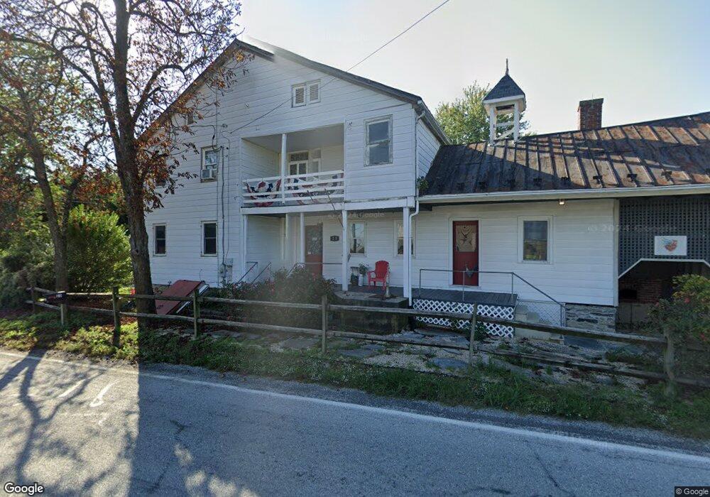
25 High St Orrtanna, PA 17353
Estimated Value: $421,776
3
Beds
2
Baths
3,000
Sq Ft
$141/Sq Ft
Est. Value
About This Home
This home is located at 25 High St, Orrtanna, PA 17353 and is currently priced at $421,776, approximately $140 per square foot. 25 High St is a home located in Adams County with nearby schools including Gettysburg Area High School.
Ownership History
Date
Name
Owned For
Owner Type
Purchase Details
Closed on
Nov 16, 2004
Bought by
R B Enterprises Llc
Current Estimated Value
Create a Home Valuation Report for This Property
The Home Valuation Report is an in-depth analysis detailing your home's value as well as a comparison with similar homes in the area
Purchase History
| Date | Buyer | Sale Price | Title Company |
|---|---|---|---|
| R B Enterprises Llc | $148,000 | -- |
Source: Public Records
Tax History
| Year | Tax Paid | Tax Assessment Tax Assessment Total Assessment is a certain percentage of the fair market value that is determined by local assessors to be the total taxable value of land and additions on the property. | Land | Improvement |
|---|---|---|---|---|
| 2025 | $5,964 | $345,000 | $80,200 | $264,800 |
| 2024 | $5,684 | $345,000 | $80,200 | $264,800 |
| 2023 | $5,597 | $345,000 | $80,200 | $264,800 |
| 2022 | $5,545 | $345,000 | $80,200 | $264,800 |
| 2021 | $3,032 | $192,700 | $80,200 | $112,500 |
| 2020 | $3,032 | $192,700 | $80,200 | $112,500 |
| 2019 | $3,011 | $192,700 | $80,200 | $112,500 |
| 2018 | $2,993 | $192,700 | $80,200 | $112,500 |
| 2017 | $2,890 | $192,700 | $80,200 | $112,500 |
| 2016 | -- | $192,700 | $80,200 | $112,500 |
| 2015 | -- | $192,700 | $80,200 | $112,500 |
| 2014 | -- | $192,700 | $80,200 | $112,500 |
Source: Public Records
Map
Nearby Homes
- 0 Chambersburg Rd Unit PAAD2019234
- 1635 Old Route 30
- 995 Old Route 30
- Rd Unit LotWP001
- Lot #38 Flohrs Church Rd
- 130 Spigot Valley Rd
- 4743, 4745, 4747 Chambersburg Rd
- 2871 30 Old Route 30
- 0 Old Route 30 Unit PAAD2003740
- 1059 Cashtown Rd
- 30 Tillie Town Rd
- 599 Hilltown Rd
- 545 Hilltown Rd Unit 5
- 1461 New Rd
- 456 Church Rd
- 3065 Buchanan Valley Rd
- 1245 Green Ridge Rd
- 2515 Mummasburg Rd
- 721 Narrows Rd Unit 8
- 155 Buchanan Valley Rd
- 25 High St Unit B
- 1691 Hilltown Rd
- 1720 Hilltown Rd
- 125 High St Unit 9
- 1751 Hilltown Rd
- 3920 Chambersburg Rd
- 1750 Hilltown Rd
- 131 High St
- 3950 Chambersburg Rd
- 3 Cashtown Rd
- 9 Cashtown Rd
- 155 High St Unit 6
- 163 High St Unit 5
- 164 High St
- 1781 Hilltown Rd
- 1778 Hilltown Rd Unit 1
- 175 High St Unit 4
- 191 High St
- 1616 Hilltown Rd
- 257 High St Unit A
Your Personal Tour Guide
Ask me questions while you tour the home.