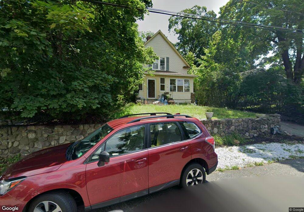
25 Hillside Ave Mahwah, NJ 07430
Estimated Value: $595,977 - $1,487,000
--
Bed
--
Bath
1,510
Sq Ft
$575/Sq Ft
Est. Value
About This Home
This home is located at 25 Hillside Ave, Mahwah, NJ 07430 and is currently estimated at $867,994, approximately $574 per square foot. 25 Hillside Ave is a home located in Bergen County with nearby schools including Mahwah High School.
Ownership History
Date
Name
Owned For
Owner Type
Purchase Details
Closed on
Aug 22, 2003
Sold by
Loren Howard
Bought by
Allison Mary Ellen
Current Estimated Value
Home Financials for this Owner
Home Financials are based on the most recent Mortgage that was taken out on this home.
Original Mortgage
$280,000
Outstanding Balance
$126,883
Interest Rate
6.02%
Estimated Equity
$741,111
Purchase Details
Closed on
Nov 15, 2000
Sold by
Leinhart Philip
Bought by
Loren Howard and Mcdermott Heather
Home Financials for this Owner
Home Financials are based on the most recent Mortgage that was taken out on this home.
Original Mortgage
$214,400
Interest Rate
7.64%
Purchase Details
Closed on
Feb 10, 1999
Sold by
Levin Robert I and Goodstadt Levin Susan
Bought by
Leinhart Philip and Bascio Annmarie
Home Financials for this Owner
Home Financials are based on the most recent Mortgage that was taken out on this home.
Original Mortgage
$207,500
Interest Rate
6.75%
Mortgage Type
Stand Alone First
Create a Home Valuation Report for This Property
The Home Valuation Report is an in-depth analysis detailing your home's value as well as a comparison with similar homes in the area
Home Values in the Area
Average Home Value in this Area
Purchase History
| Date | Buyer | Sale Price | Title Company |
|---|---|---|---|
| Allison Mary Ellen | $350,000 | -- | |
| Loren Howard | $268,000 | -- | |
| Leinhart Philip | $232,500 | -- |
Source: Public Records
Mortgage History
| Date | Status | Borrower | Loan Amount |
|---|---|---|---|
| Open | Allison Mary Ellen | $280,000 | |
| Previous Owner | Loren Howard | $214,400 | |
| Previous Owner | Leinhart Philip | $207,500 |
Source: Public Records
Tax History Compared to Growth
Tax History
| Year | Tax Paid | Tax Assessment Tax Assessment Total Assessment is a certain percentage of the fair market value that is determined by local assessors to be the total taxable value of land and additions on the property. | Land | Improvement |
|---|---|---|---|---|
| 2025 | $8,112 | $393,000 | $263,000 | $130,000 |
| 2024 | $8,005 | $393,000 | $263,000 | $130,000 |
| 2023 | $7,750 | $393,000 | $263,000 | $130,000 |
| 2022 | $7,750 | $393,000 | $263,000 | $130,000 |
| 2021 | $7,667 | $393,000 | $263,000 | $130,000 |
| 2020 | $7,483 | $393,000 | $263,000 | $130,000 |
| 2019 | $7,235 | $393,000 | $263,000 | $130,000 |
| 2018 | $7,133 | $393,000 | $263,000 | $130,000 |
| 2017 | $7,019 | $393,000 | $263,000 | $130,000 |
| 2016 | $6,866 | $393,000 | $263,000 | $130,000 |
| 2015 | $6,771 | $393,000 | $263,000 | $130,000 |
| 2014 | $6,657 | $393,000 | $263,000 | $130,000 |
Source: Public Records
Map
Nearby Homes
- 12 Alcott Rd
- 99 Armour Rd
- 16 Gardner St
- 142 Island Rd
- 51 Black Oak Ln
- 2120 Gunston Ct
- 2054 Charles Ct
- 211 Airmount Rd
- 2170 Kent Ct
- 38 N Railroad Ave
- 139 Kilmer Rd
- 34 N Railroad Ave
- 163 Rutherford Rd
- 199 Parkside Dr
- 155 Parkside Dr Unit 155
- 235 Parkside Dr Unit 235
- 103 E Mahwah Rd
- 12 Sagamore Ave
- 1052 Chedworth Cir
- 208 Parkside Dr